


MBTA updates system maps, signage
For the first time ever the maps will display connections to key bus routes to and from subway stations.

Transportation officials today kicked off a program to replace the Massachusetts Bay Transportation Authority’s (MBTA) outdated system maps and signage with updated versions that include a variety of customer improvements. For example, for the first time ever the maps will display connections to key bus routes to and from subway stations.
One of Boston’s busiest stations, Government Center station is the first to showcase three brand new maps including: a line map identifying current stations along the Green Line that will replace a sign with outdated Green Line stops; a system map depicting connections to the subway and key routes; and a neighborhood map identifying places of interest in the surrounding Government Center area that has not been updated since station modernization in 1967.
The map initiative marks the beginning of a larger effort to provide customers with the tools necessary to better plan their commute, according to a MBTA officials. The announcement comes just weeks after the Patrick Administration and MBTA provided scheduling data online, resulting in the creation of at least four iPhone applications.
“Our priority first and foremost is to treat our customers with the respect they deserve and give them better tools to plan their commute,” said Transportation Secretary James A. Aloisi, Jr. “These maps will replace outdated, incorrect maps and will for the first time ever provide commuters and tourists with up-to-date information about our network of subway, bus, ferry and commuter rail lines.”
The replacement of outdated subway maps and signage throughout the subway system will continue with Orient Heights, Bowdoin and Copley Stations.
Acting MBTA General Manager William Mitchell said the time has most certainly come to replace the 1967 maps. "These maps were great when Yaz was hitting for the Triple Crown, but not today, while Ellsbury is stealing bases," said Mitchell.
Key components of the system-wide signage improvement initiative include:
New key bus route maps and neighborhood maps installed at transit stations with connections to key routes.
Smaller maps typically installed in buses and rail vehicles will be updated and replaced as needed.
Folded system maps and bus shelter maps will be updated to reflect various changes.
A program is under development to address outdated Commuter Rail maps including the installation of commuter rail maps at stations and major hubs and terminals.
More Bus

Frontrunner Bus Group Introduces XF Low-Floor Bus with Enhanced Accessibility
The new mid-sized bus features a full flat-floor design, eight-inch curbside step-in height, and zero-entry rear ramp to improve passenger access and operational flexibility.
Read More →
Scenes from APTA TRANSform & EXPO 2026
Transit leaders, manufacturers, and industry professionals gathered in Chicago to explore new technologies, share ideas, and discuss the future of public transportation.
Read More →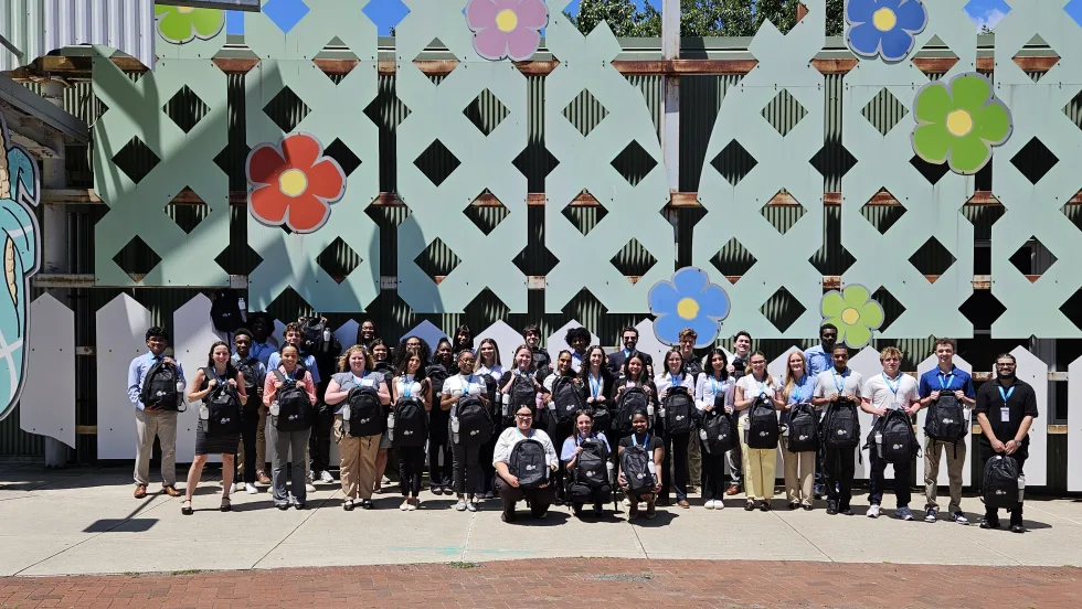
More Than a Summer Job: Building the Next Generation of Transit Talent
The Delaware River Port Authority and PATCO have transformed their internship program into a hands-on professional development experience that introduces students to the breadth of transportation careers — and creates a pipeline for future employees.
Read More →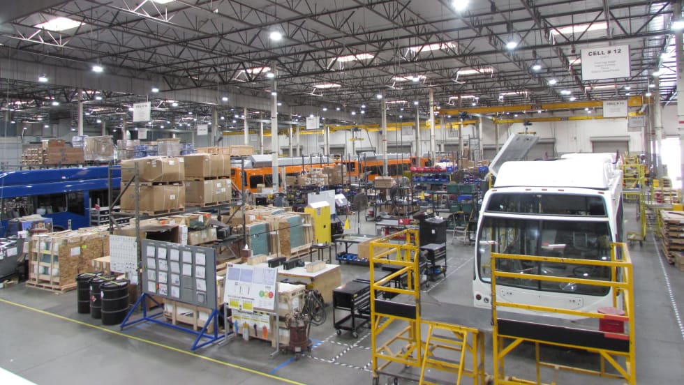
LA Metro Board Awards 220 Battery-Electric Bus Contract to ENC
The contract, which is the largest base award of battery-electric buses by a U.S. transit agency, will be built in Southern California, sustaining good jobs as LA prepares to welcome the world in 2028
Read More →
Public Transit Conference Returning to GFX in 2027, Call for Papers Now Open
The Call for Papers is now open, allowing transit agency professionals and industry experts to help shape the PTC educational program by submitting session ideas for consideration.
Read More →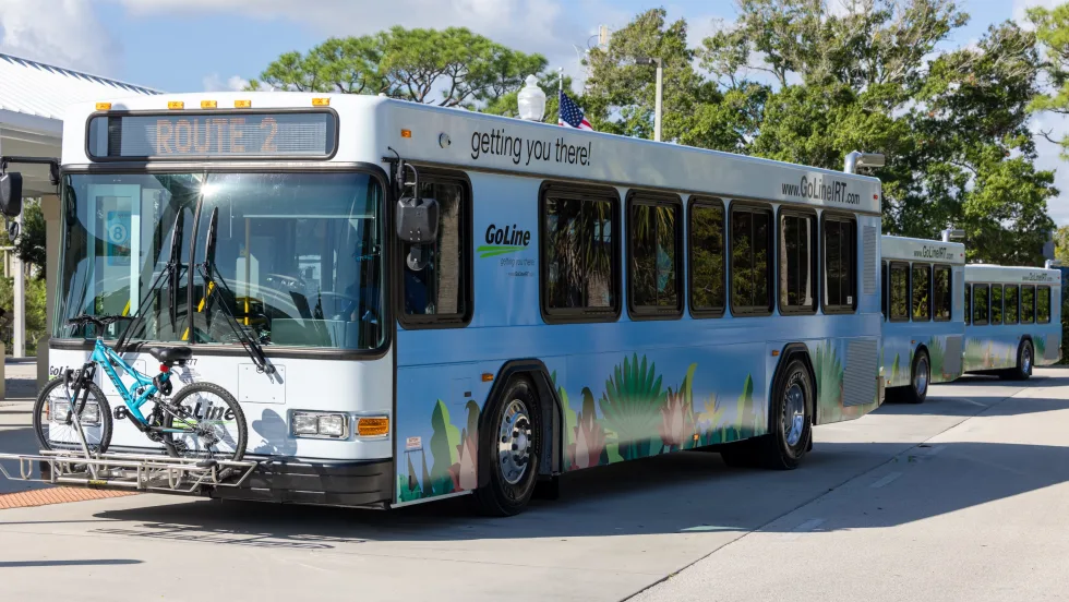
Indian River Transit’s Community-Focused Approach Earns National Recognition
Named APTA’s 2026 Outstanding Public Transportation System in its size category, Florida’s Indian River County transit system continues to grow ridership through fare-free service and a focus on evolving community needs.
Read More →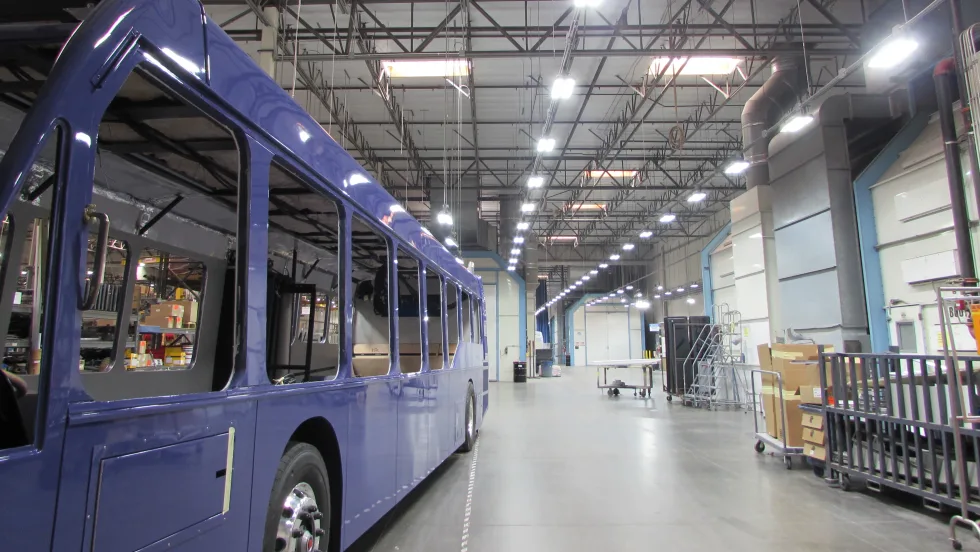
ENC Lands MATA Contract and More in Biz Briefs
In this edition of Biz Briefs, we spotlight the latest developments shaping the future of mobility.
Read More →
From Surviving to Thriving: Building Stronger Transportation Organizations
Bus Business Consultants founder Brian Dickson shares lessons on leadership, organizational health, and creating options for long-term success in a changing transportation industry.
Read More →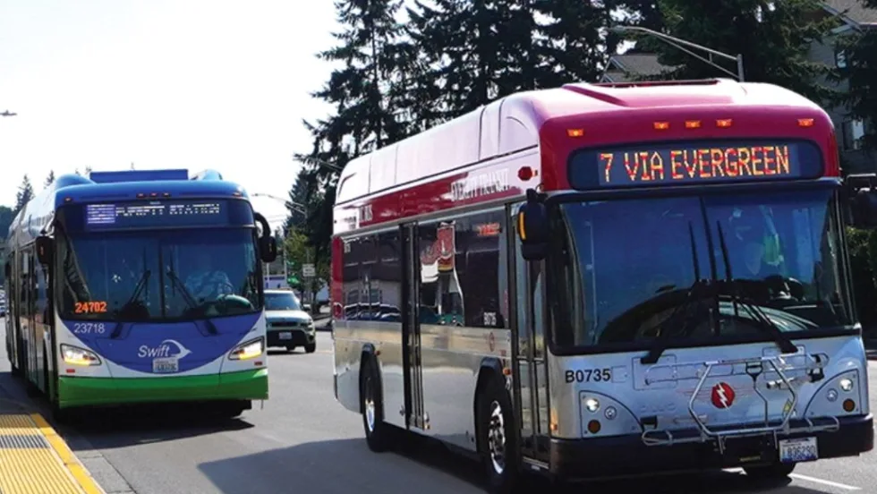
Everett Transit, Community Transit Outline Consolidation Agreement
The proposed agreement calls for a 50% increase in bus service in Everett, a new microtransit zone, continued paratransit service, and the transfer of Everett Transit operations to Community Transit.
Read More →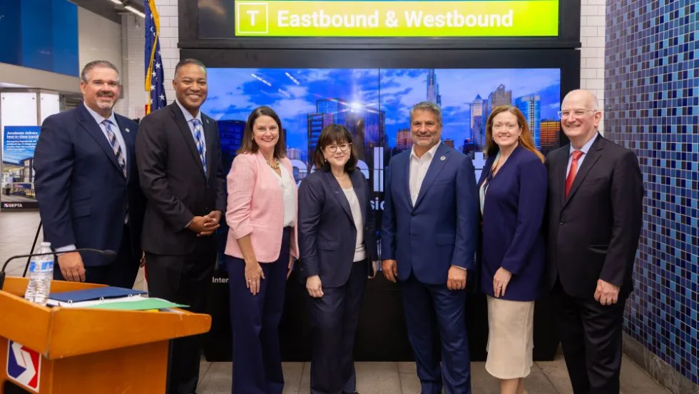
SEPTA Details Accelerate Vision for Transit System
The plan outlines investments in trolley modernization, new Metro and Regional Rail vehicles, accessible stations, and more frequent bus and rail service.
Read More →