
Zonar named Esri 'Silver Tier Partner'
The new integration helps organizations and municipalities determine capacity enhancements, improve fuel efficiency, optimize routes and share interactive transportation maps on the Web, according to the company.


Telematics provider, Zonar, was officially added to the Esri Partner Network as a Silver Tier Partner.
Earlier in 2012 Zonar announced a new integration with geographic information system (GIS) provider Esri that delivers real-time fleet data layered with sophisticated geographic map information. The new Silver Tier partnership expands the relationship between Zonar and Esri for further co-development and provides this technology to all Zonar and Esri customers.
The new integration helps organizations and municipalities determine capacity enhancements, improve fuel efficiency, optimize routes and share interactive transportation maps on the Web, according to the company.
Zonar tracks longitude, latitude, odometer, speed and fuel, in addition to vehicle diagnostics in its core platform. Esri allows display of fleet locations and other data specific to vehicle operation integrated through Esri’s mapping technology.
More Bus
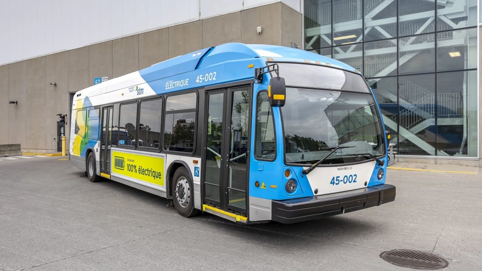
Biz Briefs: Montréal Debuts Nova Electric Buses and More
In this edition of Biz Briefs, we spotlight the latest developments shaping the future of mobility.
Read More →
The Hidden Cost of Fuel Data Inaccuracy in Public Transit Fleets
In today's transit environment, accurate fuel and mileage data are critical to reducing costs, minimizing downtime, and improving fleet performance.
Read More →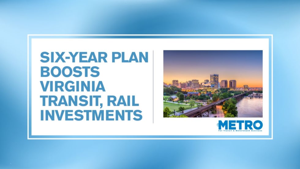
Virginia's $28.5B Transportation Plan Targets Transit and Rail
Approved by the Commonwealth Transportation Board, the program supports ongoing infrastructure projects while providing new investments in transit, state of good repair and transportation alternatives.
Read More →
Bipartisan BUSES Act Seeks Changes to New York City's Bus Idling Enforcement Program
Backed by motorcoach operators, the legislation seeks to balance emissions goals with passenger safety by allowing limited idling for inspections, accessibility needs and extreme weather conditions.
Read More →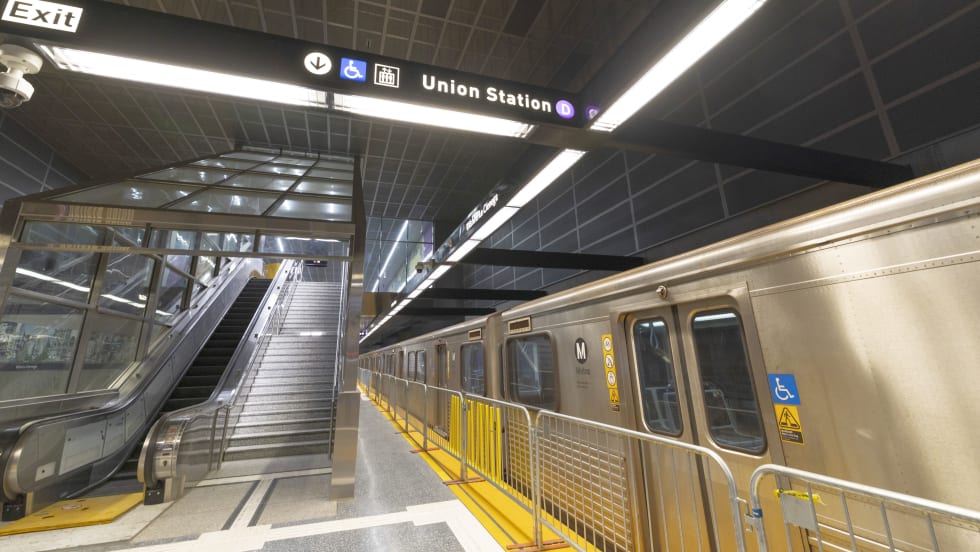
D Line Expansion Fuels Growth Across LA Metro's Rail System
Weekend rail ridership was especially strong, soaring 18% as riders embraced expanded access to jobs, entertainment, dining, and cultural destinations, said the agency. Total system ridership for May, including bus and rail, was 26,966,657.
Read More →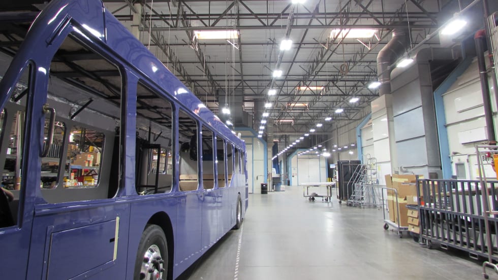
ENC to Deliver Three Clean Diesel Buses to Canada's York Region Transit
Since 2005, City View and ENC have supplied nearly 90 E-Z Rider II buses to YRT.
Read More →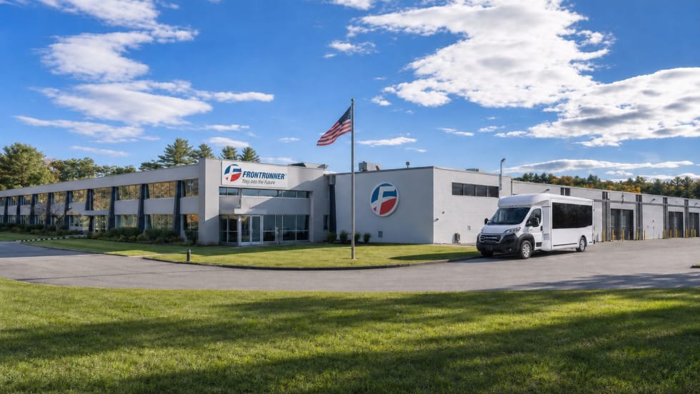
Frontrunner Bus Group Expands with New Massachusetts Headquarters
The significantly larger facility will provide the infrastructure needed to support the company’s growing workforce, advanced technologies, and expanding product line.
Read More →
Joshua Schank on Transportation Innovation, Risk, and the Future of Mobility
In this edition of METROspectives, Joshua Schank discusses lessons from launching LA Metro’s Office of Extraordinary Innovation, the challenges of advancing new mobility technologies, and much more.
Read More →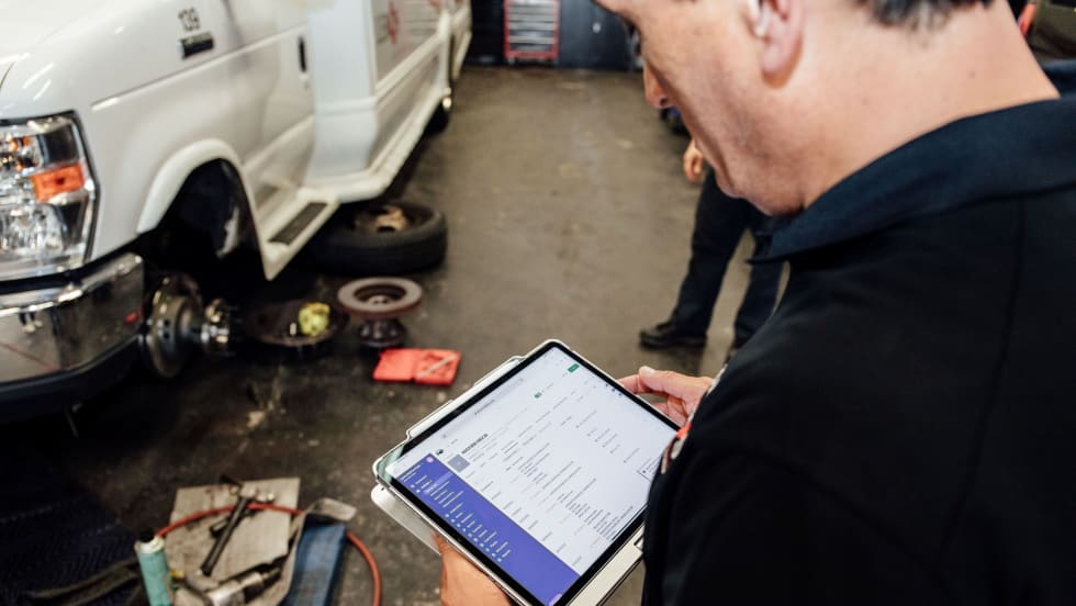
Reinventing Fleet Maintenance with Real-time Visibility and AI
Transit leaders need to know what needs fixing, where to look, who is responsible, when work is completed, and what it costs without having to chase information across disconnected systems.
Read More →
SamTrans Sets Priorities for Potential Connect Bay Area Revenue
The board-approved framework allocates future funding to maintaining service, rider improvements, equity initiatives, and infrastructure repairs.
Read More →