
MBTA updates system maps, signage
For the first time ever the maps will display connections to key bus routes to and from subway stations.

Transportation officials today kicked off a program to replace the Massachusetts Bay Transportation Authority’s (MBTA) outdated system maps and signage with updated versions that include a variety of customer improvements. For example, for the first time ever the maps will display connections to key bus routes to and from subway stations.
One of Boston’s busiest stations, Government Center station is the first to showcase three brand new maps including: a line map identifying current stations along the Green Line that will replace a sign with outdated Green Line stops; a system map depicting connections to the subway and key routes; and a neighborhood map identifying places of interest in the surrounding Government Center area that has not been updated since station modernization in 1967.
The map initiative marks the beginning of a larger effort to provide customers with the tools necessary to better plan their commute, according to a MBTA officials. The announcement comes just weeks after the Patrick Administration and MBTA provided scheduling data online, resulting in the creation of at least four iPhone applications.
“Our priority first and foremost is to treat our customers with the respect they deserve and give them better tools to plan their commute,” said Transportation Secretary James A. Aloisi, Jr. “These maps will replace outdated, incorrect maps and will for the first time ever provide commuters and tourists with up-to-date information about our network of subway, bus, ferry and commuter rail lines.”
The replacement of outdated subway maps and signage throughout the subway system will continue with Orient Heights, Bowdoin and Copley Stations.
Acting MBTA General Manager William Mitchell said the time has most certainly come to replace the 1967 maps. "These maps were great when Yaz was hitting for the Triple Crown, but not today, while Ellsbury is stealing bases," said Mitchell.
Key components of the system-wide signage improvement initiative include:
New key bus route maps and neighborhood maps installed at transit stations with connections to key routes.
Smaller maps typically installed in buses and rail vehicles will be updated and replaced as needed.
Folded system maps and bus shelter maps will be updated to reflect various changes.
A program is under development to address outdated Commuter Rail maps including the installation of commuter rail maps at stations and major hubs and terminals.
More Bus

Frontrunner Bus Group Expands with New Massachusetts Headquarters
The significantly larger facility will provide the infrastructure needed to support the company’s growing workforce, advanced technologies, and expanding product line.
Read More →
Joshua Schank on Transportation Innovation, Risk, and the Future of Mobility
In this edition of METROspectives, Joshua Schank discusses lessons from launching LA Metro’s Office of Extraordinary Innovation, the challenges of advancing new mobility technologies, and much more.
Read More →
Reinventing Fleet Maintenance with Real-time Visibility and AI
Transit leaders need to know what needs fixing, where to look, who is responsible, when work is completed, and what it costs without having to chase information across disconnected systems.
Read More →
SamTrans Sets Priorities for Potential Connect Bay Area Revenue
The board-approved framework allocates future funding to maintaining service, rider improvements, equity initiatives, and infrastructure repairs.
Read More →
When Routine Fails: How Public Transit Must Adapt for the World Cup
The 2026 FIFA World Cup will test transit agencies’ ability to manage unpredictable travel patterns, making real-time data and operational flexibility critical to moving millions of visitors efficiently.
Read More →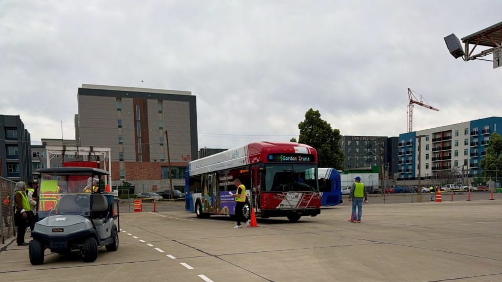
Photo Highlights from APTA's 2026 Mobility Conference
The photo gallery captures scenes from the conference, including the International Bus Roadeo, exhibit hall activities, the Bus Showcase, and much more.
Read More →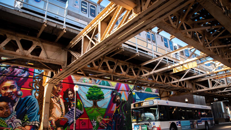
Chicago's NITA Act Moves Into Next Phase as Service Improvements Begin
Rider-focused improvements will begin rolling out across the system immediately as CTA, Metra, and Pace increase service this summer in the six-county region.
Read More →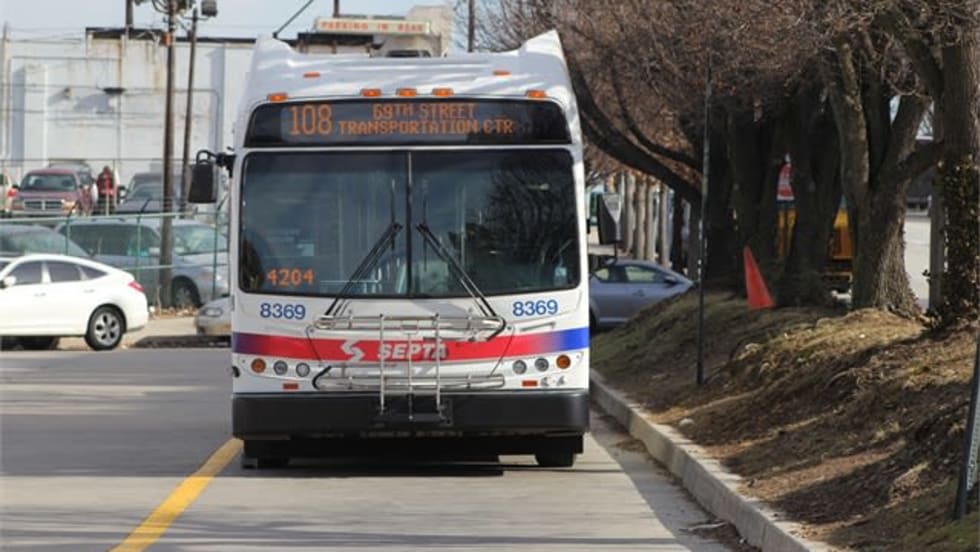
Philadelphia's SEPTA Approves Annual Transit Service Plan
Between 2021 and 2024, SEPTA held more than 200 public meetings — including 144 in-person sessions — throughout the SEPTA service region.
Read More →
A True Low-Floor Minibus Design Delivers Better Accessibility and Efficiency for Everyone
As transit demands evolve, so should your fleet. Download the whitepaper to see how the Low-Floor Frontrunner Minibus compares to traditional options.
Read More →
WMATA Debuts 'Fares Pay for Service' Awareness Campaign
The campaign was highlighted during a media event at the Paul S. Sarbanes Transit Center in Silver Spring, where WMATA’s GM/CEO Randy Clarke joined Metro Transit Police officers, WMATA management team, board members, and staff to expand fare enforcement and customer education efforts on Metro Bus routes throughout the region.
Read More →