
BC Transit launches Google pilot
Google Transit on Google Maps is a public transportation planning tool that combines the latest BC Transit schedule and route information with the power of Google Maps.

Google Transit is now being piloted by British Columbia's Victoria Regional Transit System (BC Transit) through the Google Maps website. During this initial phase, customers are encouraged to test the new online trip planner and provide feedback to BC Transit so this service can continually be improved and enhanced.
Google Transit on Google Maps is a public transportation planning tool that combines the latest BC Transit schedule and route information with the power of Google Maps. It is a free service that makes trip planning quick and easy for everyone.
Setting up this online tool involved gathering detailed information on the Victoria Regional Transit System — ensuring accuracy of data, identifying the geographical coordinates of all 2,500 bus stops in the Capital Region and synchronizing them with the 6,300 trips BC Transit currently provides in Victoria weekly. BC Transit staff will continually oversee quality assurance and data validation as new routes are added or schedules are changed.
Google Maps is compatible with screen readers for the visually impaired. The "Transit" feature on Google Maps is available on select mobile devices through Google Maps for mobile. Public transportation information is also included in Google Earth.
More Bus
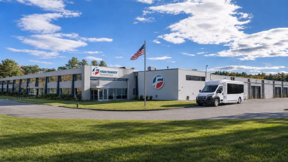
Frontrunner Bus Group Expands with New Massachusetts Headquarters
The significantly larger facility will provide the infrastructure needed to support the company’s growing workforce, advanced technologies, and expanding product line.
Read More →
Joshua Schank on Transportation Innovation, Risk, and the Future of Mobility
In this edition of METROspectives, Joshua Schank discusses lessons from launching LA Metro’s Office of Extraordinary Innovation, the challenges of advancing new mobility technologies, and much more.
Read More →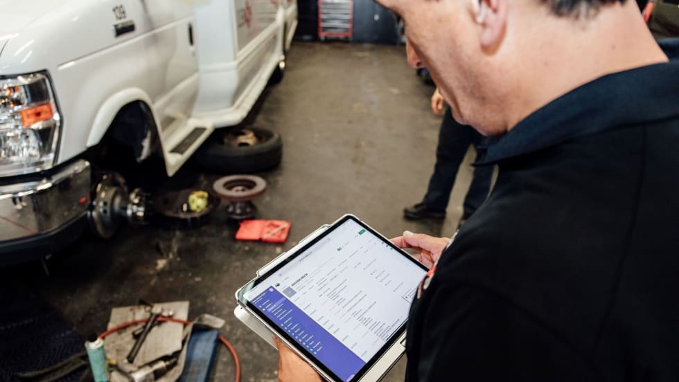
Reinventing Fleet Maintenance with Real-time Visibility and AI
Transit leaders need to know what needs fixing, where to look, who is responsible, when work is completed, and what it costs without having to chase information across disconnected systems.
Read More →
SamTrans Sets Priorities for Potential Connect Bay Area Revenue
The board-approved framework allocates future funding to maintaining service, rider improvements, equity initiatives, and infrastructure repairs.
Read More →
When Routine Fails: How Public Transit Must Adapt for the World Cup
The 2026 FIFA World Cup will test transit agencies’ ability to manage unpredictable travel patterns, making real-time data and operational flexibility critical to moving millions of visitors efficiently.
Read More →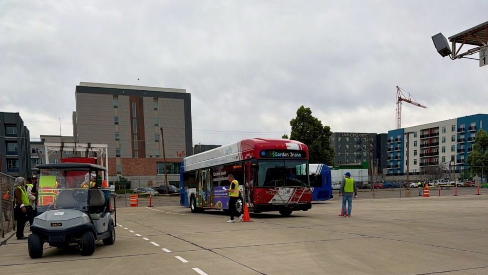
Photo Highlights from APTA's 2026 Mobility Conference
The photo gallery captures scenes from the conference, including the International Bus Roadeo, exhibit hall activities, the Bus Showcase, and much more.
Read More →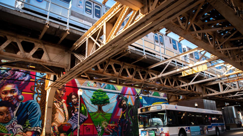
Chicago's NITA Act Moves Into Next Phase as Service Improvements Begin
Rider-focused improvements will begin rolling out across the system immediately as CTA, Metra, and Pace increase service this summer in the six-county region.
Read More →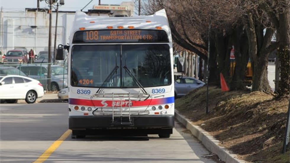
Philadelphia's SEPTA Approves Annual Transit Service Plan
Between 2021 and 2024, SEPTA held more than 200 public meetings — including 144 in-person sessions — throughout the SEPTA service region.
Read More →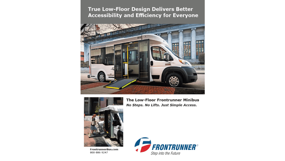
A True Low-Floor Minibus Design Delivers Better Accessibility and Efficiency for Everyone
As transit demands evolve, so should your fleet. Download the whitepaper to see how the Low-Floor Frontrunner Minibus compares to traditional options.
Read More →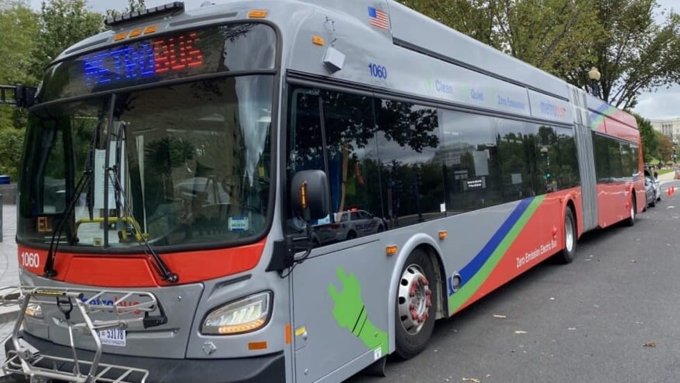
WMATA Debuts 'Fares Pay for Service' Awareness Campaign
The campaign was highlighted during a media event at the Paul S. Sarbanes Transit Center in Silver Spring, where WMATA’s GM/CEO Randy Clarke joined Metro Transit Police officers, WMATA management team, board members, and staff to expand fare enforcement and customer education efforts on Metro Bus routes throughout the region.
Read More →