
Google adds NYC subway alerts to Maps
Riders can click on any of the 468 stations labeled on Google Maps to find planned service changes expected to affect that station at the time. Alerts will also be included in the step-by-step transit directions.

MOUNTAIN VIEW, Calif. — Google Maps will begin showing planned service alerts for New York City’s subways, according to Google’s blog.
Riders can click on any of the 468 New York City subway stations labeled on Google Maps to find any planned service changes expected to affect that station at the time. Alerts will also be included in the step-by-step transit directions. For the full story, click here.
More Rail

The Invisible Infrastructure of Passenger Flow
What a seat reservation system on Austria’s Railjet trains reveals about the future of rider experience, and why U.S. agencies should pay attention.
Read More →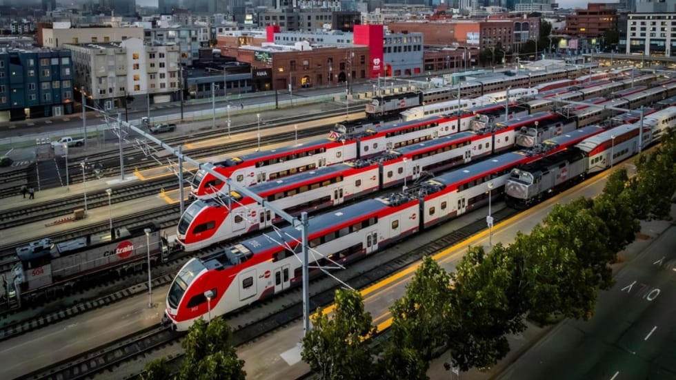
Caltrain Board Approves FY27 Budget, Endorses Efficiency Measures
The move ensures Caltrain service will continue operating as usual in the near term, but long-term financial challenges remain for the rail agency absent a new revenue source.
Read More →
Alstom Acquires Delaware Site to Support Amtrak NextGen Acela Fleet
The company is investing more than $55 million to acquire and improve the property and will employ approximately 100 people at this site once it is operational.
Read More →
When Routine Fails: How Public Transit Must Adapt for the World Cup
The 2026 FIFA World Cup will test transit agencies’ ability to manage unpredictable travel patterns, making real-time data and operational flexibility critical to moving millions of visitors efficiently.
Read More →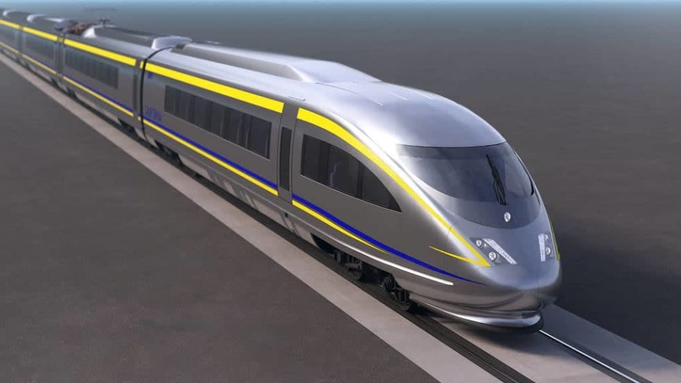
California Selects Team for Nation’s First True High-Speed Rail Track and Systems Contract
The board action follows completion of track installation at the 150-acre southern railhead in Kern County, which will serve as the staging and distribution hub for high-speed track and systems installation.
Read More →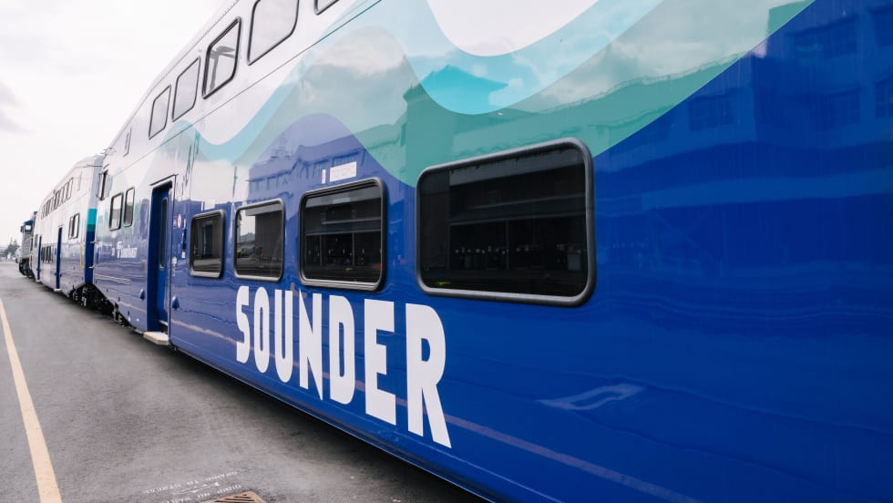
Seattle's Sound Transit Launches New Sounder Railcars into Service
Alstom manufactured all the cars under a $46.5 million contract and came into service in anticipation of summer crowds for soccer and baseball.
Read More →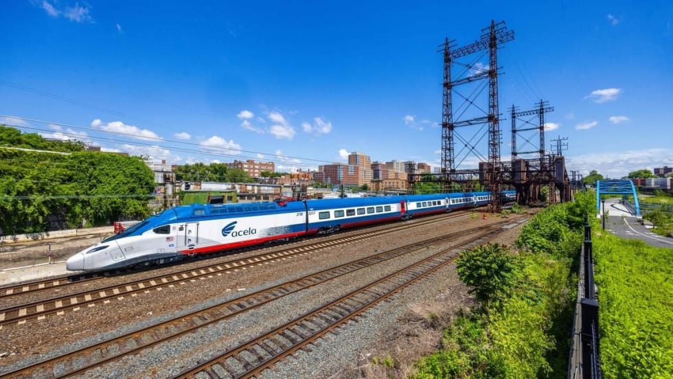
Alstom Partners With Universities to Build Rail Talent Pipeline
The partnerships include a new engineering scholarship fund at Alfred State College in Western New York and collaborations with transportation centers at the University of Pennsylvania and New York University.
Read More →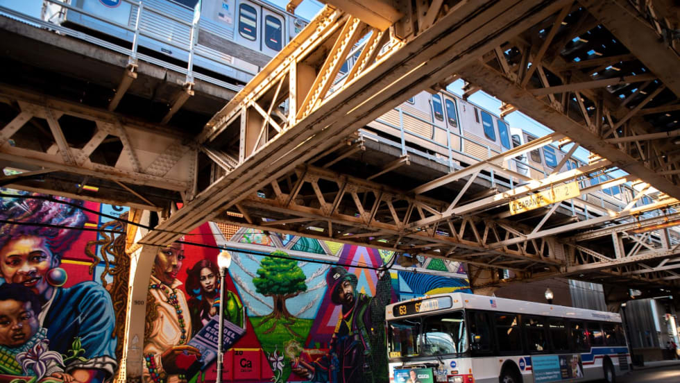
Chicago's NITA Act Moves Into Next Phase as Service Improvements Begin
Rider-focused improvements will begin rolling out across the system immediately as CTA, Metra, and Pace increase service this summer in the six-county region.
Read More →Seattle’s Sound Transit Adopts Updated ST3 System Plan
The updated system plan incorporates cost savings across the agency, including new revenue sources and financial policies, to set the agency on a sustainable path for the future.
Read More →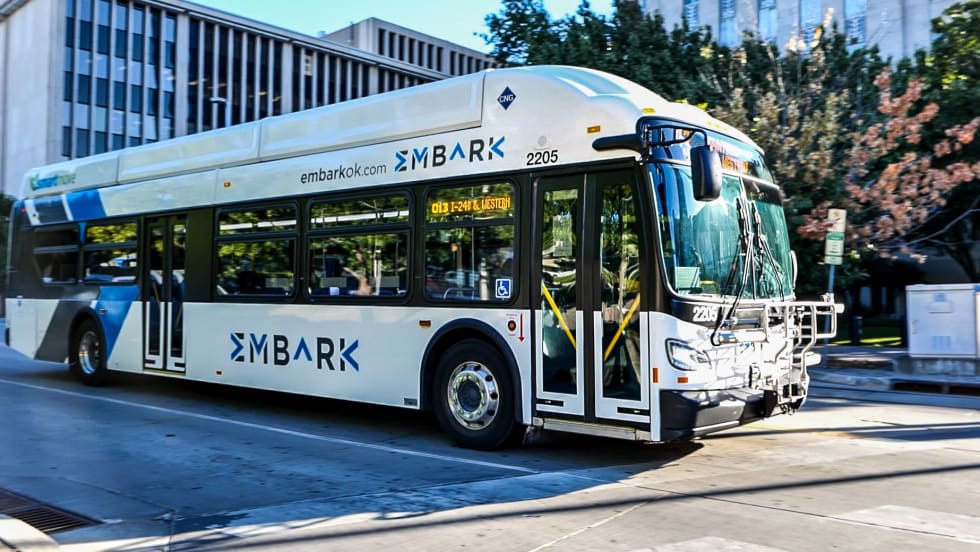
Inside Look: EMBARK Expands Fare-Free Transit Program Through New Public-Private Partnership
The OKC transit agency says sponsorship helps subsidize the Third Friday Free initiative while reducing barriers for first-time riders and boosting ridership across buses, streetcars, and river cruises.
Read More →