
N.Y. wayfinding maps help subway users orient themselves
New maps throughout the city make it easier for customers to learn what a neighborhood has to offer as they step out of a subway station.


Photo courtesy WalkNYC

The Metropolitan Transportation Authority (MTA) and New York City Department of Transportation (DOT) teamed to install new wayfinding maps throughout the city, making it easier for subway customers to orient themselves and learn what a neighborhood has to offer as they step out of a subway station.
The next generation of the subway system’s helpful neighborhood map is being installed in all 468 subway stations.
Previously, the MTA had 68 different neighborhood maps in stations around the system. The same map was used in several stations and covered a radius between 15 and 30 blocks. At 46 x 59 inches, the new maps are identical in size to the old neighborhood maps, but with a coverage radius of about 12 blocks, they provide each station with a unique map centered on the station.
The new maps use the same base map as DOT’s WalkNYC wayfinding signage program, which provides detailed, location-specific maps and directional information to people navigating the city’s streets. However, they have been adapted to the subway with lighter base colors; subway lines and station footprints; and local, limited and Select Bus Service (SBS) routes.
So far, DOT has employed the maps on its pedestrian wayfinding signs, on Citi Bike kiosks and at prototype installations of the new SBS totems, which provide real-time bus arrival information at SBS stations using MTA’s BusTime data feed. With the addition of these new neighborhood maps in the subway, there will be a standard wayfinding map for pedestrians, transit riders and cyclists alike for the first time in New York City history.
The WalkNYC wayfinding system was designed for DOT and adapted for MTA’s use in the subway by PentaCityGroup, a joint venture between City ID, Pentagram, T-Kartor, Billings Jackson Design and RBA Group.
More Rail
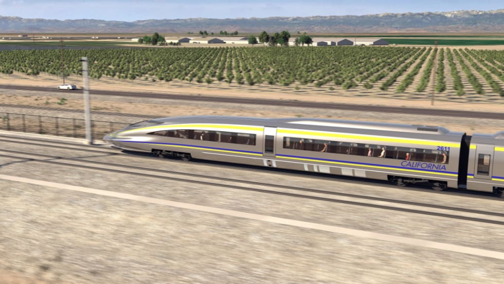
Keolis and SNCF Voyageurs Bring Rail Expertise to California High-Speed Rail
The CDA establishes a collaborative predevelopment partnership intended to evaluate future delivery opportunities through public-private partnership models.
Read More →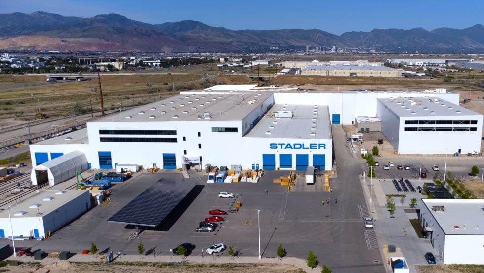
Stadler Marks 10 Years in the U.S. with Salt Lake City Expansion
The expansion is expected to create up to 300 new local jobs, some of which are youth apprenticeships, said Stadler officials.
Read More →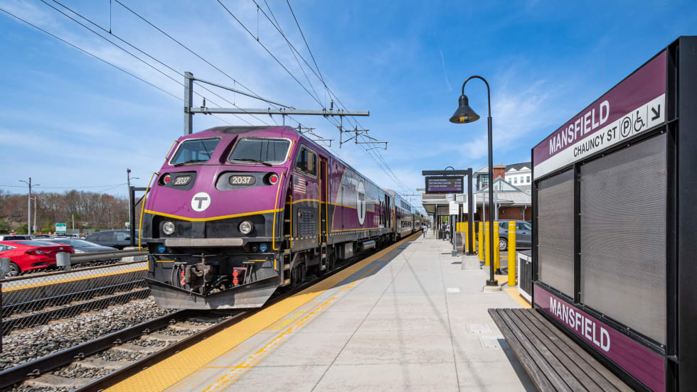
MBTA Selects STV to Support Battery-Electric Locomotive Procurement
The firm's seven-year contract includes end-to-end support from bid review and selection through procurement, production, and testing.
Read More →
Executive Order Aims to Improve Transit Access Across California
The order directs state agencies to streamline transit project delivery, improve coordination, and expand access to bus and passenger rail services across California.
Read More →
California High-Speed Rail Advances Merced–Madera Construction Procurement
The procurement represents a major expansion of active high-speed rail construction.
Read More →
Amtrak Finalizes Pre-Development Agreement for Penn Station Overhaul
The agreement advances plans for a $7 billion to $8 billion transformation of New York's busiest transit hub, with construction expected to begin by the end of 2027.
Read More →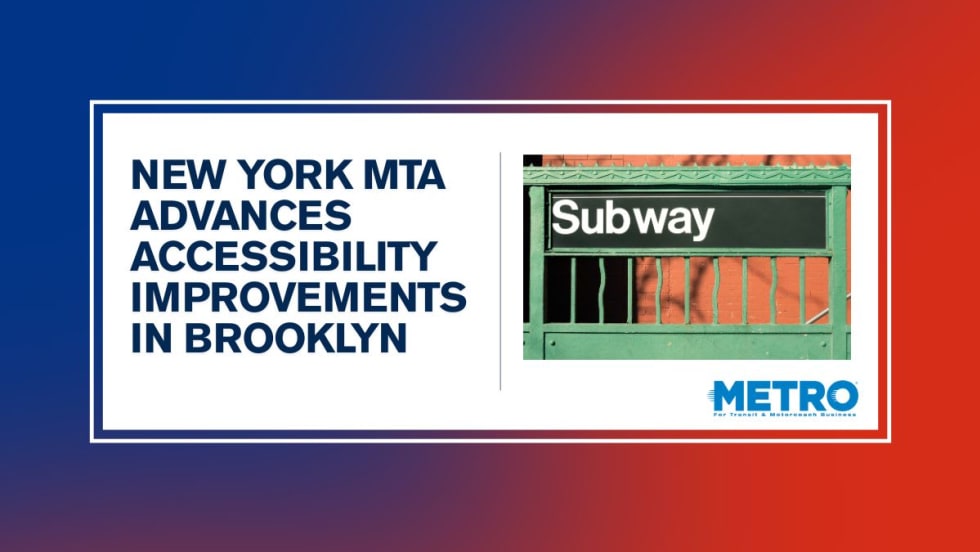
New York MTA Leverages Zoning Program to Advance Station Accessibility
Accessibility enhancements at Nevins St Station will be financed through a development agreement tied to the MTA's Zoning for Accessibility initiative.
Read More →
Virginia's $28.5B Transportation Plan Targets Transit and Rail
Approved by the Commonwealth Transportation Board, the program supports ongoing infrastructure projects while providing new investments in transit, state of good repair and transportation alternatives.
Read More →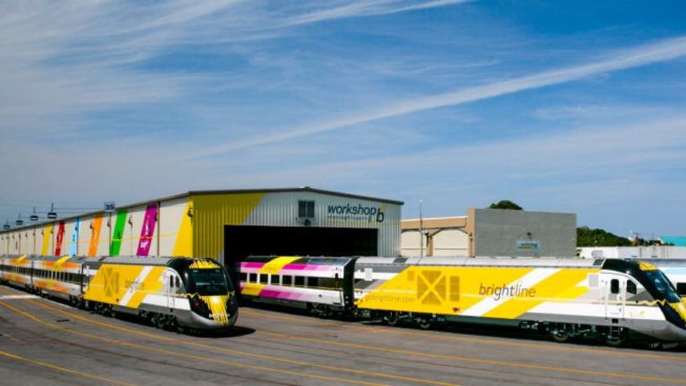
DOT: Brightline Corridor Incidents Fall 30% Following Federal Safety Upgrades
Safety improvements funded through a $25 million federal investment are credited with reducing trespassing and train-vehicle collisions along the Brightline Florida corridor.
Read More →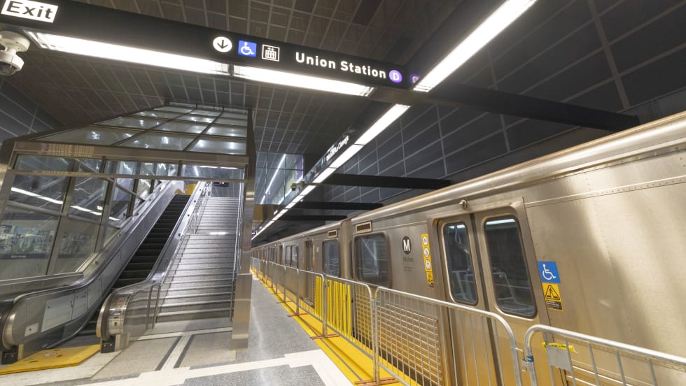
D Line Expansion Fuels Growth Across LA Metro's Rail System
Weekend rail ridership was especially strong, soaring 18% as riders embraced expanded access to jobs, entertainment, dining, and cultural destinations, said the agency. Total system ridership for May, including bus and rail, was 26,966,657.
Read More →