


N.Y. wayfinding maps help subway users orient themselves
New maps throughout the city make it easier for customers to learn what a neighborhood has to offer as they step out of a subway station.

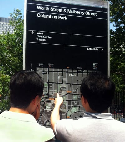
Photo courtesy WalkNYC
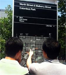
Photo courtesy WalkNYC
The Metropolitan Transportation Authority (MTA) and New York City Department of Transportation (DOT) teamed to install new wayfinding maps throughout the city, making it easier for subway customers to orient themselves and learn what a neighborhood has to offer as they step out of a subway station.
The next generation of the subway system’s helpful neighborhood map is being installed in all 468 subway stations.
Previously, the MTA had 68 different neighborhood maps in stations around the system. The same map was used in several stations and covered a radius between 15 and 30 blocks. At 46 x 59 inches, the new maps are identical in size to the old neighborhood maps, but with a coverage radius of about 12 blocks, they provide each station with a unique map centered on the station.
The new maps use the same base map as DOT’s WalkNYC wayfinding signage program, which provides detailed, location-specific maps and directional information to people navigating the city’s streets. However, they have been adapted to the subway with lighter base colors; subway lines and station footprints; and local, limited and Select Bus Service (SBS) routes.
So far, DOT has employed the maps on its pedestrian wayfinding signs, on Citi Bike kiosks and at prototype installations of the new SBS totems, which provide real-time bus arrival information at SBS stations using MTA’s BusTime data feed. With the addition of these new neighborhood maps in the subway, there will be a standard wayfinding map for pedestrians, transit riders and cyclists alike for the first time in New York City history.
The WalkNYC wayfinding system was designed for DOT and adapted for MTA’s use in the subway by PentaCityGroup, a joint venture between City ID, Pentagram, T-Kartor, Billings Jackson Design and RBA Group.
More Rail
New York MTA Advances Final Contract for Second Avenue Subway Expansion
Contract Four is the largest in the Second Avenue Subway Phase 2 project and includes construction of station infrastructure, tracks, and signals for the subway expansion, MTA officials said. Work on Contract Four will begin in 2027.
Read More →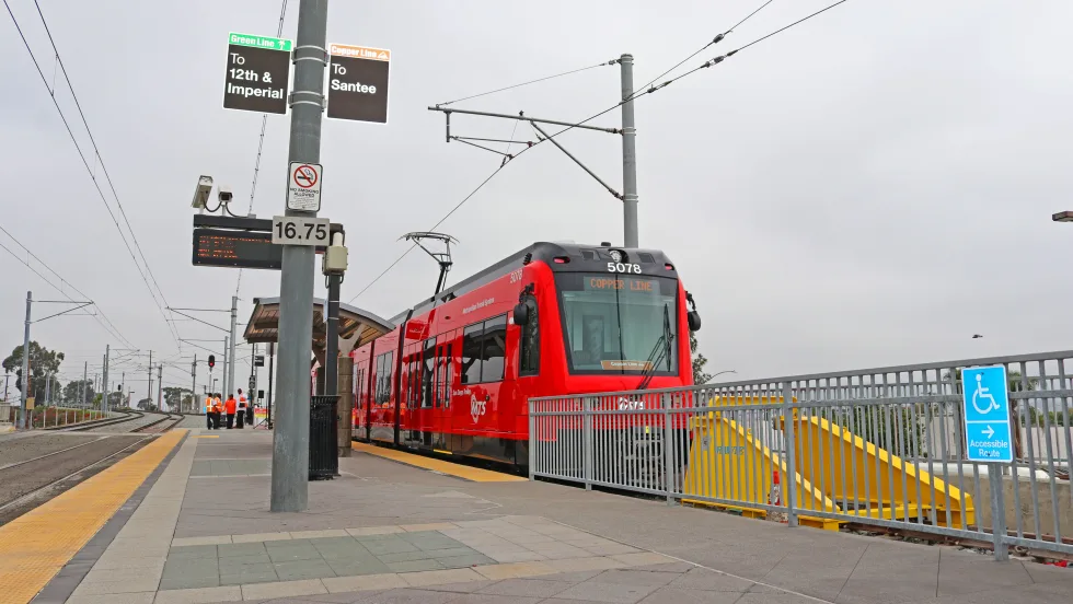
San Diego MTS Breaks Monthly Trolley Ridership Record
Agency officials said July’s ridership indicates MTS’s continued recovery from the pandemic.
Read More →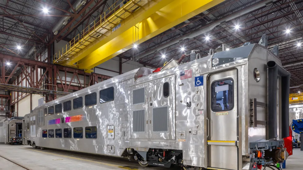
Report Examines NJ TRANSIT Reliability, Funding Challenges
The Garden State Initiative analysis examines the roles of Amtrak infrastructure, fleet management, and agency operations while recommending a more performance-based approach to improving reliability.
Read More →
Stadler, CapMetro Sign Long-Term Rail Fleet Support Agreement
Beginning in 2027, Stadler will provide on-site technical expertise, spare parts support, training, and obsolescence management to help extend the reliability and longevity of CapMetro’s GTW fleet.
Read More →
Biz Briefs: Alstom Lands Canadian Contract, LYT to Supply California TSP, and More
In METRO's latest installment, we take a look at recent news from Complete Coach Works, Beep, FlixBus, and more partnerships making headlines across the transportation sector.
Read More →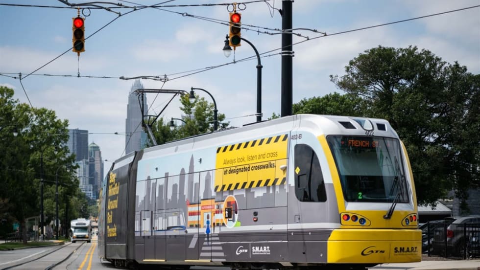
CATS Gold Line Marks 5 Years of Service, 2.8M Passenger Trips
With a six-mile expansion planned, the Charlotte streetcar is positioned to connect more neighborhoods and major transit hubs across the region.
Read More →
Why Simulating Pedestrian Movement Has Become Essential for Modern Rail Stations
Pedestrian microsimulation is helping rail planners identify bottlenecks, test station designs, and prepare complex transit hubs for growing passenger volumes.
Read More →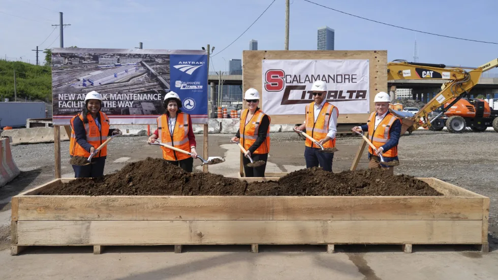
Amtrak Begins Major Construction at New York’s Sunnyside Yard
The new maintenance facility will support Amtrak’s Airo trainsets while improving maintenance efficiency and turnaround times in New York.
Read More →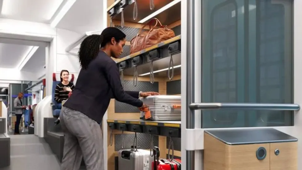
Chicago Leaders Unveil Plans for O’Hare Airport Express Train
The privately developed project would offer a 15-minute trip between downtown and O’Hare’s Terminal 2, with trains operating every 15 minutes on a dedicated track. The service would use battery-electric trains and three existing freight rail rights-of-way.
Read More →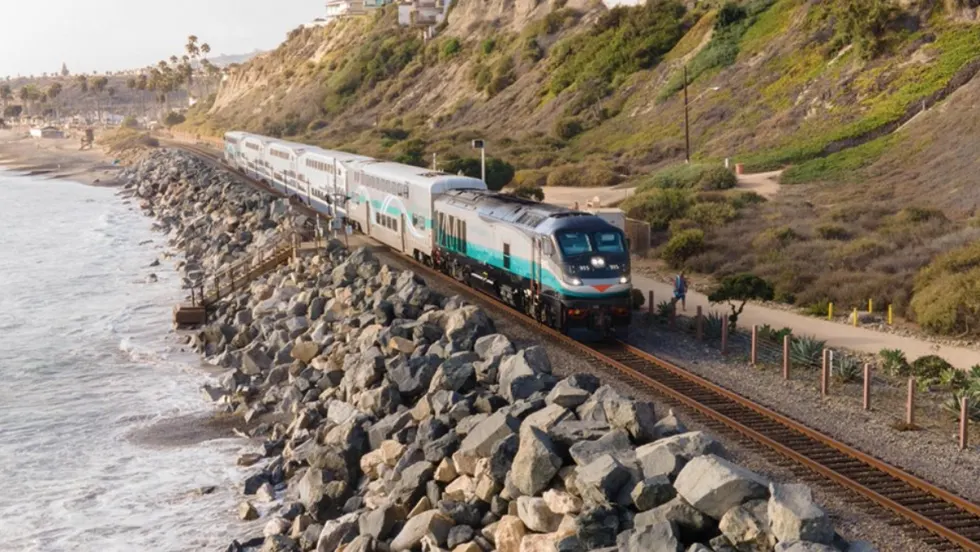
OCTA Maps Out 30-Year Strategy to Protect Coastal Rail Corridor
The draft feasibility report identifies strategies to protect the coastal rail line for decades as the agency continues near-term stabilization and sand placement efforts.
Read More →