

RELATED: How Wayfinding Tech Delivers Transit Info to Customers
Are big-city transportation systems too complex for human minds?
the researchers found that navigating transport networks in major cities — including London, New York City, Toyko and Paris — can come perilously close to exceeding humans’ cognitive powers.
February 23, 2016
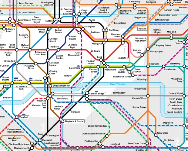
London Tube map. Transport for London
2 min to read

Many of us know the feeling of standing in front of a subway map in a strange city, baffled by the multi-coloured web staring back at us and seemingly unable to plot a route from point A to point B.
According to a new study published in the journal Science Advances, navigating routes through a complex urban transport system can often exceed the human brain's cognitive limits.
After analysing the world’s 15 largest metropolitan transport networks, the researchers at Oxford University estimated that the information limit for planning a trip is around 8 bits. (A ‘bit’ is a binary digit — the most basic unit of information.)
Additionally, similar to the "Dunbar number," which estimates a limit to the size of an individual’s friendship circle, this cognitive limit for transportation suggests that maps should not consist of more than 250 connection points to be easily readable.
Using journeys with exactly two connections as their basis (that is, visiting four stations in total), the researchers found that navigating transport networks in major cities — including London — can come perilously close to exceeding humans’ cognitive powers.
And when further interchanges or other modes of transport — such as buses or trams — are added to the mix, the complexity of networks can rise well above the 8-bit threshold. The researchers demonstrated this using the multimodal transportation networks from New York City, Tokyo, and Paris.
"Human cognitive capacity is limited, and cities and their transportation networks have grown to the point where they have reached a level of complexity that is beyond human processing capability to navigate around them," said Mason Porter, Professor of Nonlinear and Complex Systems in the Mathematical Institute at the University of Oxford. "In particular, the search for a simplest path becomes inefficient when multiple modes of transport are involved and when a transportation system has too many interconnections."
He adds that, in many cases, the maps currently in use need to be rethought and redesigned. Journey-planner apps of course help, but the maps themselves need to be redesigned.
The research – a collaboration between the University of Oxford, Institut de Physique Théorique at CEA-Saclay, and Centre d’Analyse et de Mathématique Sociales at EHESS Paris – is published in the journal Science Advances.
More Management

FIFA World Cup Matches Are Driving Record Transit Ridership Nationwide
See how World Cup matches are generating record transit demand across North America, with ridership surpassing Super Bowls, concerts, and Olympic-era events.
Read More →
The Hidden Cost of Fuel Data Inaccuracy in Public Transit Fleets
In today's transit environment, accurate fuel and mileage data are critical to reducing costs, minimizing downtime, and improving fleet performance.
Read More →
Virginia's $28.5B Transportation Plan Targets Transit and Rail
Approved by the Commonwealth Transportation Board, the program supports ongoing infrastructure projects while providing new investments in transit, state of good repair and transportation alternatives.
Read More →
Latinos In Transit Seeks Host Organization for 2027 Leadership Summit
The selected host organization will showcase its transit system, projects, and community while welcoming hundreds of industry leaders and emerging professionals during Hispanic Heritage Month.
Read More →
Bipartisan BUSES Act Seeks Changes to New York City's Bus Idling Enforcement Program
Backed by motorcoach operators, the legislation seeks to balance emissions goals with passenger safety by allowing limited idling for inspections, accessibility needs and extreme weather conditions.
Read More →
DOT: Brightline Corridor Incidents Fall 30% Following Federal Safety Upgrades
Safety improvements funded through a $25 million federal investment are credited with reducing trespassing and train-vehicle collisions along the Brightline Florida corridor.
Read More →
D Line Expansion Fuels Growth Across LA Metro's Rail System
Weekend rail ridership was especially strong, soaring 18% as riders embraced expanded access to jobs, entertainment, dining, and cultural destinations, said the agency. Total system ridership for May, including bus and rail, was 26,966,657.
Read More →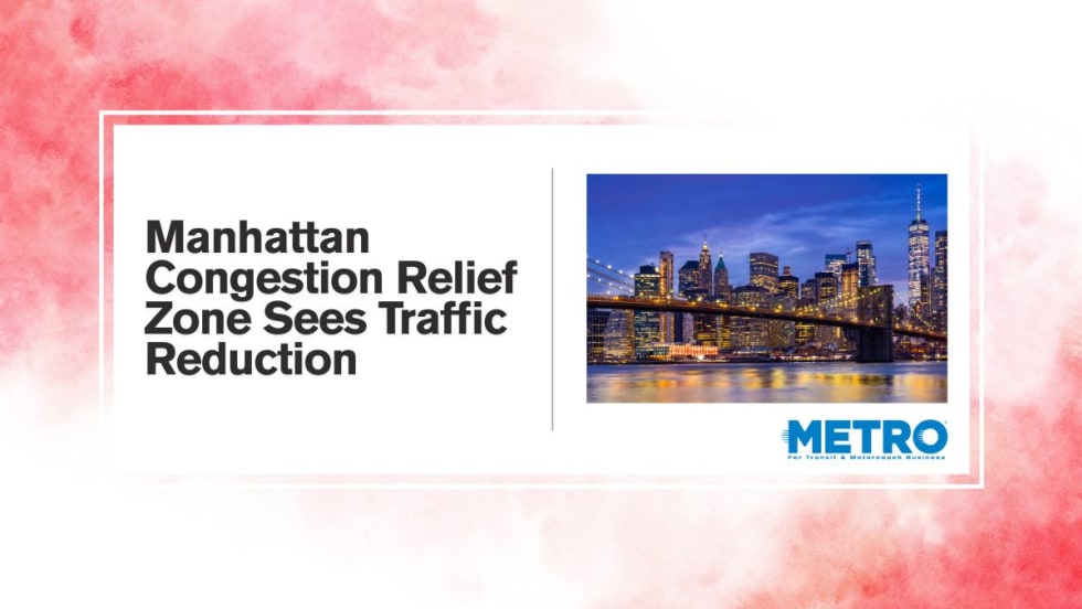
Q4 Travel Data Reveals Drop in Vehicle Traffic to Manhattan Congestion Zone
NYMTC’s quarterly Travel Patterns Report provides a snapshot of travel activity throughout New York City, Long Island, the Lower Hudson Valley, and northern New Jersey using data collected from the agencies operating the region’s bridges, tunnels, and public transit systems.
Read More →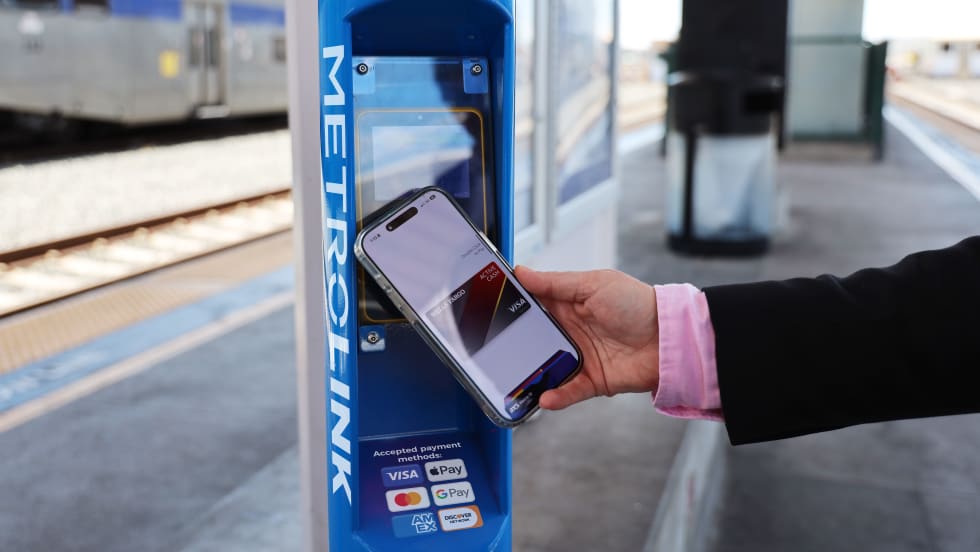
Southern California's Metrolink Debuts Contactless Fare Payment Pilot
Customers traveling between Redlands and Los Angeles can now tap their preferred payment method, including a credit or debit card, mobile wallet, or wearable device, at station validators before boarding and again while exiting.
Read More →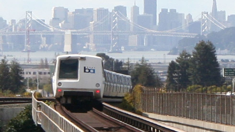
California's BART Approves FY27 Budget While Maintaining Service Levels
The budget covers July 1, 2026, through June 30, 2027, a period when pandemic emergency funds run out, the District faces a structural deficit of $375 million, and a regional transit funding measure may appear on the November ballot.
Read More →