
Bluetooth, Wi-Fi sensing from mobile devices may help improve bus service
University of Washington researchers have developed an inexpensive system that uses Wi-Fi and Bluetooth signals from passengers’ mobile phones and devices to collect better data about where bus riders get on and off, how many people use a given stop and even how long they wait to transfer to another bus.

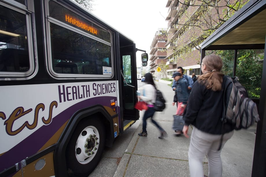
UW transportation engineers have developed an inexpensive system to sense Wi-Fi and Bluetooth signals from bus passengers’ mobile devices and collect data to build better transit systems. They tested it on UW shuttle buses last spring. University of Washington

On any given bus ride, a good share of passengers are reading, texting or rocking out to music on their phones or tablets. In the future, those mobile devices may add more value to our transit commutes than simply filling time.
University of Washington researchers have developed an inexpensive system that uses Wi-Fi and Bluetooth signals from passengers’ mobile phones and devices to collect better data about where bus riders get on and off, how many people use a given stop and even how long they wait to transfer to another bus.
The system — described in a paper that was presented at the 2016 Transportation Research Board annual meeting in Washington, D.C. on Jan. 11 — could help transit agencies collect valuable real-time data to provide better service.
To improve efficiency and ensure that buses are meeting the greatest needs in a community, transit agencies today typically rely on passenger surveys, head counts and smart card swipes that may only offer partial information about how people are using the transit network.
The UW transportation engineers developed sensors — which cost about $60 per bus — that can detect a unique identifier called a Media Access Control (MAC) address associated with a particular mobile device as it boards and leaves the bus to offer complete and real-time travel data. The system only collects MAC addresses and the time and location they are detected from Bluetooth or Wi-Fi signals, and each address is anonymized for privacy protection.

The technology has been used to estimate vehicle travel times on highways and roads, but this is among the earliest attempts to investigate its possible use for collecting passenger origin and destination data on a transit system, researchers said.
“Let’s say you have a Husky game or Seahawks game and you want to know how much demand changes so you can offer the right level of bus service for this special event,” said senior author Yinhai Wang, a UW professor of civil and environmental engineering and director of the Pacific Northwest Transportation Consortium, or PacTrans.
“If you can gather enough data from these real-time sensing systems, that’s going to offer very valuable information,” he said.
The research team tested the system in May 2015 by installing sensors on the South Lake Union Shuttle and Health Sciences Express buses operated by UW Transportation Services, which run from the university’s main campus to South Lake Union and Harborview Medical Center.
Because the system only senses addresses from mobile devices that have Wi-Fi enabled or whose Bluetooth is in discoverable mode — which wouldn’t be the case for everyone riding a bus — the transportation engineers wanted to know whether they could collect enough data to yield an accurate picture of travel behavior.
Map of WiFi detections
This map shows Bluetooth detections recorded on a single shuttle bus during the testing window last spring.University of Washington
Another challenge was developing processing algorithms to filter out all the signals from mobile devices running Wi-Fi or Bluetooth carried by people who were near the bus but not actually riding on it.
“That’s probably the hardest part of the whole thing,” said co-author Kristian Henrickson, a UW civil and environmental engineering doctoral student and research assistant who manages the UW’s Smart Transportation Application and Research (STAR) Lab.
“The big things we’re concerned with are pedestrians and cyclists or people in cars or buildings that have their Wi-Fi and Bluetooth devices on and are close enough to have the sensors on the bus pick up those signals,” he said. “So we have to make sure we filter out those addresses.”
For instance, the sensors mounted inside the buses initially picked up more than 20,000 unique addresses from mobile devices, the time of detection and GPS locations during the test period. After weeding out signals that were unreasonably long or short, or that appeared or vanished far from a bus stop, the researchers wound up with 2,800 “trips” that they are confident were taken by passengers on the bus.
The origin and destination data from the remote sensing system matched information that the researchers collected by riding buses and tracking how many people got on and off at various stops.
Transit agencies are perennially seeking that type of information to inform decisions about changing routes or service levels, or to determine how frequently buses should run, whether they need larger buses at certain times of day, and how to meet demand and operate the transit system most effectively.
“We were able to prove the concept and demonstrate that it’s much cheaper to collect data this way,” Wang said. “This is really just at the beginning stage, but this technology is going to become more universal in the age of smart cities.”
One open question is whether data collection that relies on Wi-Fi and Bluetooth signals could leave out certain segments of the population — such as the elderly or low-income who may not carry mobile devices or use wireless networks. That’s why UW researchers are also interested in investigating how people use different technologies during their commutes.
Given the penetration of cell phone ownership, though, Henrickson said the technology’s potential to improve equity in the transit system arguably outweighs possible drawbacks.
“Think about understanding how long and disconnected a route may be from some less-privileged neighborhoods to an employment center. This technology provides a much better way of assessing that and possibly improving upon that,” Henrickson said.
Funding for the research came from PacTrans and Washington State Department of Transportation.
Co-authors include UW Department of Civil and Environmental Engineering doctoral student Matthew Dunlap and research associate Zhibin Li. For more information, contact Wang at yinhai@uw.edu and Henrickson at henr2237@uw.edu.
More Bus
Biz Briefs: OCTA Taps Clean Energy for Hydrogen Station, Stadler to Supply Via Rail Vehicles, and More
From manufacturers and suppliers to transit agencies and motorcoach operators, these updates offer a snapshot of the projects, partnerships and business moves driving the industry forward.
Read More →
METRO Magazine Announces 2026 Innovative Solutions Awards Winners
Projects Recognized for Advancing Mobility Through Technology, Accessibility, Workforce Innovation, and Operational Excellence
Read More →Biz Briefs: STV teams with Amtrak, Motorcoach Operators Boost Fleet and Land Contracts, and More
From manufacturers and suppliers to transit agencies and motorcoach operators, these updates offer a snapshot of the projects, partnerships and business moves driving the industry forward.
Read More →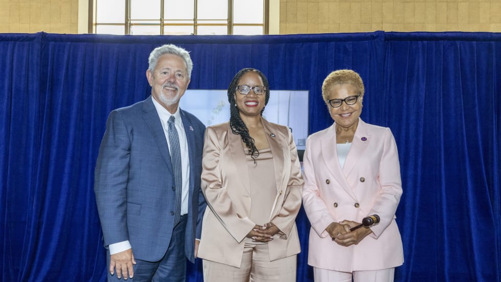
LA Metro Marks Banner Year, Sets Ambitious Goals for New Fiscal Year
Incoming LA Metro Board Chair and Los Angeles Mayor Karen Bass joined outgoing Board Chair Fernando Dutra and LA Metro CEO Stephanie Wiggins to review accomplishments from fiscal year 2026, which included the opening of new rail extensions, advancement of major transit projects, expanded safety programs, and new rider amenities.
Read More →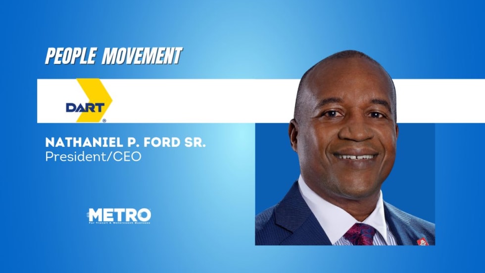
DART Taps Nathaniel P. Ford Sr. as Next President/CEO
Since 2012, Ford has served as the CEO of the Jacksonville Transportation Authority
Read More →
AC Transit’s Cecil Blandon on Building the Next Generation of Transit Maintenance Leaders
The agency’s maintenance chief discusses leadership, workforce development, zero-emission technology, and preparing technicians for the future of public transportation.
Read More →
Building the Next Generation of Transit Technology
In this edition of METROspectives, Luminator CEO Magnus Friberg discusses the company's transformation, the growing role of AI and software, and what's next for transit technology.
Read More →
June LA Metro Ridership Surges 2 Million Year Over Year
Total June ridership increased for both weekdays and weekends. Weekday ridership was 953,820, which grew 8.4% from June 2025; Saturdays increased nearly 13% year-over-year to 708,826; and Sundays increased 7.7% to 611,534 from June 2025, according to LA Metro.
Read More →
Washington's Pierce Transit Board Sends Transit Funding Measure to November Ballot
With the adoption of Resolution 2026-006, the measure moves to the Pierce County Auditor, giving voters in the Pierce Transit service area the decision on whether to fund an expansion of local transit service within the agency’s service area.
Read More →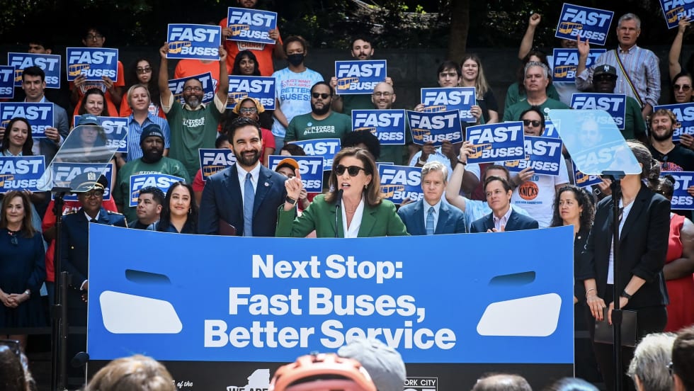
New York Unveils Sweeping Plan to Modernize City Bus Service
Next Stop: Fast Buses, Better Service identifies 50 priority bus corridors for improvements across the five boroughs and launches the City’s next generation of rapid bus service along five key routes.
Read More →