
U.S. DOT using geographic map to report ARRA spending
The online map provides information about dollars obligated and projects pending in states and territories at the county and congressional district levels.

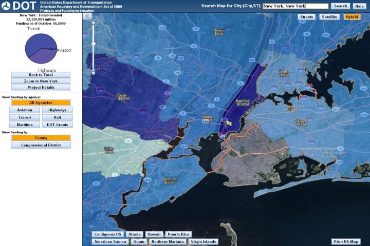
The US DOT map shows ARRA projects and funding by county, congressional district and agency.
[IMAGE]DOT.jpg[/IMAGE]The United States Department of Transportation (U.S. DOT) is using ESRI geographic information system (GIS) technology to report American Recovery and Reinvestment Act (ARRA) spending at its Website, arra-gis.dot.gov.
The online map provides information about dollars obligated and projects pending in states and territories at the county and congressional district levels.
Once a geographic region is selected, visitors can access project details including federal funding amount and description. The application also allows searches according to U.S. DOT agencies: aviation, transit, maritime, highways and rail.
"The U.S. DOT is sharing important information with citizens in a way that is easily accessible and understood," says ESRI President Jack Dangermond. "It is a great example of how government can use GIS and Gov 2.0 technology to improve government services and deliver transparency and accountability."
More Paratransit

Reinventing Fleet Maintenance with Real-time Visibility and AI
Transit leaders need to know what needs fixing, where to look, who is responsible, when work is completed, and what it costs without having to chase information across disconnected systems.
Read More →
SamTrans Sets Priorities for Potential Connect Bay Area Revenue
The board-approved framework allocates future funding to maintaining service, rider improvements, equity initiatives, and infrastructure repairs.
Read More →
Chicago's NITA Act Moves Into Next Phase as Service Improvements Begin
Rider-focused improvements will begin rolling out across the system immediately as CTA, Metra, and Pace increase service this summer in the six-county region.
Read More →
A True Low-Floor Minibus Design Delivers Better Accessibility and Efficiency for Everyone
As transit demands evolve, so should your fleet. Download the whitepaper to see how the Low-Floor Frontrunner Minibus compares to traditional options.
Read More →
2026 METRO Buyer’s Guide & Directory
Searching for the right vehicles, technology, equipment, or services for your public transit or motorcoach operation? This industry guide brings together manufacturers and suppliers from across the transportation market — all in one place. Download it to connect with the companies that help agencies and operators improve mobility, enhance operations, and move their organizations forward.
Read More →
Rays the Mark Foundation to Honor CDTA’s Emily DeVito at October Fundraiser
Event at Chicago-area Ravisloe Country Club will support DeVito, a transit employee and mother of twins battling kidney failure and awaiting a transplant.
Read More →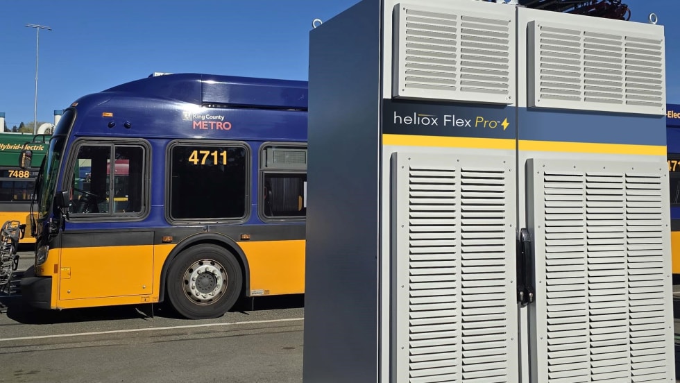
King County Test Heliox Chargers, Keolis Lands California Contract Top Biz Briefs
Stay informed with these quick takes on the projects and companies driving progress across the transportation landscape.
Read More →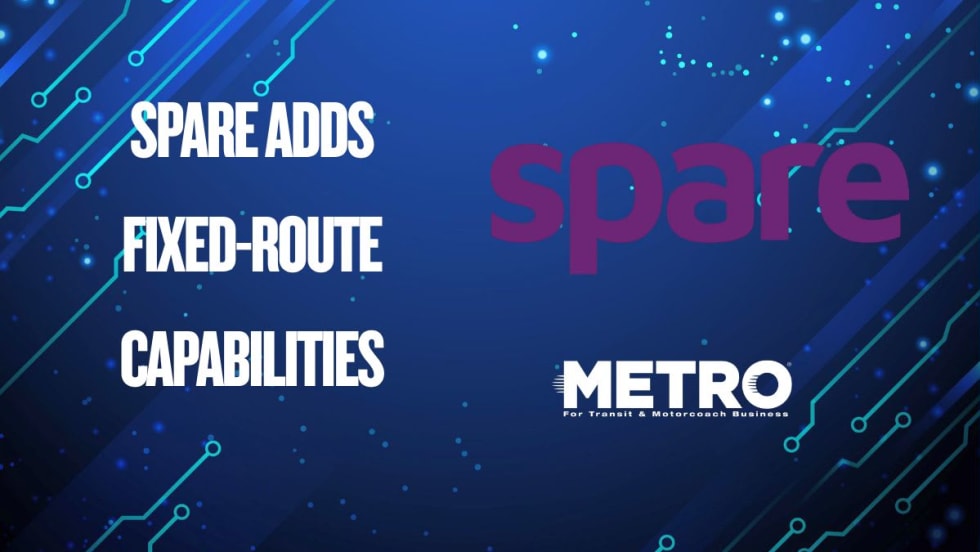
Spare Expands AI-Native Operations Platform With Fixed-Route Capabilities
The launch marks a major milestone in Spare’s vision for unified transit operations.
Read More →
Via Announces Scheduling and Supply Studio
The Scheduling and Supply Studio provides the world’s first fully integrated platform for optimizing vehicle and driver availability to rider demand, said company officials.
Read More →
Boston's MBTA Completes Latest Green Line Work
The work took place during 12 consecutive days of shuttle bus service replacement between Kenmore and Cleveland Circle.
Read More →