

Read More: Denver’s RTD Taps WSP to Develop Low/No-Emissions Transition Plan
WSP to Offer Advanced Geospatial LiDAR Services
The system is capable of 3.6 million measurements and 500 scan lines per second and is ideal for survey-grade mobile mapping applications.
November 3, 2023

WSP’s Geospatial and Surveying team has been involved with remote sensing and LiDAR project delivery for the past 15 years.
Photo: WSP
3 min to read
WSP announced it has upgraded its surveying capabilities with a mobile light detection and ranging (LiDAR) system following its recent purchase of a RIEGL VMX 2HA Mobile Scanning System.
LiDAR is a remote sensing method that uses light in the form of a pulsed laser to measure varying distances to an infrastructure asset that is being surveyed.
When processed, registered, and combined with other surveying methods, these pulses generate precise, three-dimensional information rendering of assets.
This dual-scanner mobile mapping system provides dense, accurate, and feature-rich data from highway-speed data gathering. The system is capable of 3.6 million measurements and 500 scan lines per second and is ideal for survey-grade mobile mapping applications.
“Mobile mapping technology allows us to create an accurate snapshot of the built environment in a faster, safer, and more cost-effective way when you compare it to traditional survey methods,” said Barry Creed, geospatial manager for WSP’s Southeast district. “This technology can be used for many of our clients, across every business line within WSP services.”
Incorporating 360-Degree Camera
Another element of this system is the incorporation of the Ladybug 360-degree spherical camera. WSP is one of the first firms in the U.S. to use this Ladybug6 camera, which features multiple 72-megapixel cameras that captures 360-degree georeferenced imagery.
These images can be stitched together for high-resolution panoramic imagery, similar to Google Street Maps.
Since earlier this year, the technology has been used to collect survey data on a variety of projects, such as high rail asset management, underground rail/tunnel mapping, large-linear roadway projects, overhead utility corridor mapping, and pavement conditions analysis.
The team is currently expanding this system's usage into other projects, such as airport runway pavement analysis.
“This technology is great for airport runway design use cases,” Creed said. “It allows us to collect as-built ‘survey’ data at 55 miles an hour, with minimal impact to airline traffic and reducing necessary safety oversight that traditional surveys would require.”
WSP's Involvement in Digital Project Delivery
The team’s involvement in the transition to digital project delivery is another priority for this service. The team will help create a “digital twin” of an asset, which is a virtual replica of an asset that incorporates associated real-time data during operation of that asset.
“We can go out, collect data, and create a digital twin of virtually any asset located on the ground surface,” Creed said. “Over the life cycle of that asset, we continue to monitor and document all changes to the asset. Our team is adept at data extraction and mining, which are essential to the digital delivery process.”
WSP’s Geospatial and Surveying team has been involved with remote sensing and LiDAR project delivery for the past 15 years with in-house drones, ground-penetrating radars, and terrestrial laser scanners.
More Technology
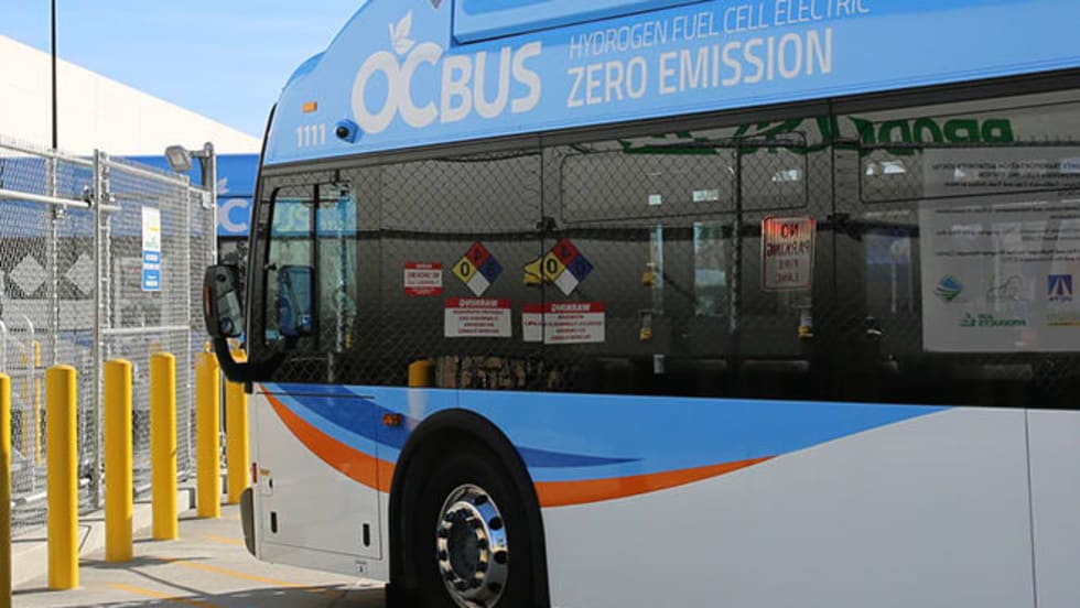
Biz Briefs: OCTA Taps Clean Energy for Hydrogen Station, Stadler to Supply Via Rail Vehicles, and More
From manufacturers and suppliers to transit agencies and motorcoach operators, these updates offer a snapshot of the projects, partnerships and business moves driving the industry forward.
Read More →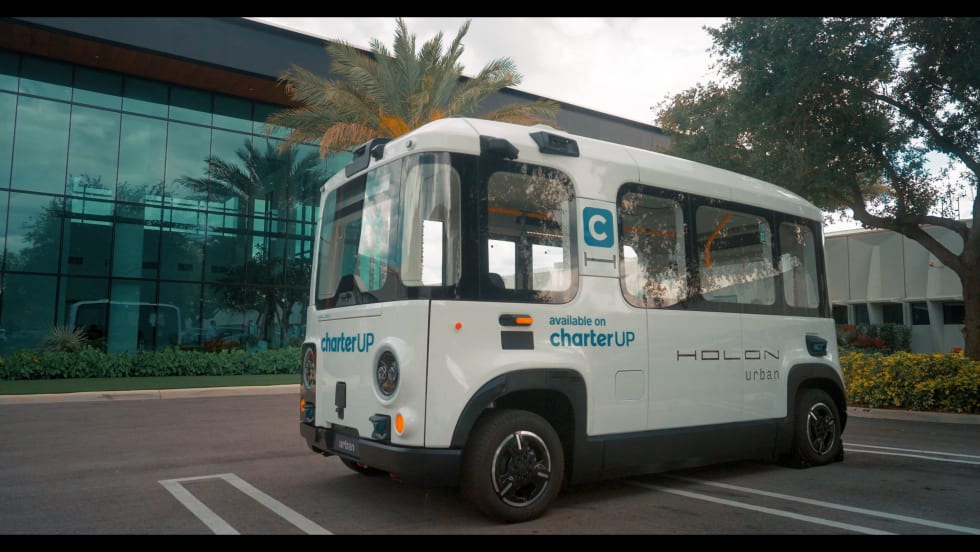
CharterUP Expands Into New Mobility and Autonomous Transportation
Vice President of New Mobility Stephen Joos discusses how CharterUP is leveraging its nationwide transportation network, technology platform, and autonomous vehicle partnerships to expand into workforce mobility, campus shuttles, and transit solutions.
Read More →
METRO Magazine Announces 2026 Innovative Solutions Awards Winners
Projects Recognized for Advancing Mobility Through Technology, Accessibility, Workforce Innovation, and Operational Excellence
Read More →
Cummins Introduces Phased Model Year 2027 Launch Strategy
According to officials, the approach is designed to maintain regulatory compliance, support customer production schedules, and provide additional time to ramp production in a disciplined manner that helps ensure a successful transition for the industry.
Read More →Biz Briefs: STV teams with Amtrak, Motorcoach Operators Boost Fleet and Land Contracts, and More
From manufacturers and suppliers to transit agencies and motorcoach operators, these updates offer a snapshot of the projects, partnerships and business moves driving the industry forward.
Read More →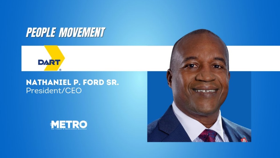
DART Taps Nathaniel P. Ford Sr. as Next President/CEO
Since 2012, Ford has served as the CEO of the Jacksonville Transportation Authority
Read More →
AC Transit’s Cecil Blandon on Building the Next Generation of Transit Maintenance Leaders
The agency’s maintenance chief discusses leadership, workforce development, zero-emission technology, and preparing technicians for the future of public transportation.
Read More →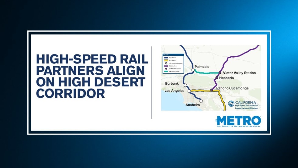
California High-Speed Rail Authority Signs MOU to Advance High Desert Corridor
The agreement deepens collaboration between the California High-Speed Rail Authority and the High Desert Corridor Joint Powers Agency, supporting design integration, cost savings, and faster delivery of a key Southern California rail link.
Read More →
Building the Next Generation of Transit Technology
In this edition of METROspectives, Luminator CEO Magnus Friberg discusses the company's transformation, the growing role of AI and software, and what's next for transit technology.
Read More →
How Data, Strategy, and Community Engagement Are Reshaping Transit
In this edition of METROspectives, strada360 CEO Steve Lassey discusses how transit agencies can better align planning with operations, leverage data to improve decision-making, and build public trust as they prepare for the future of mobility.
Read More →