
Loading data...

Release in preparation for upcoming project that will completely rebuild the tracks and improve stations over a 10-mile stretch.
Read More →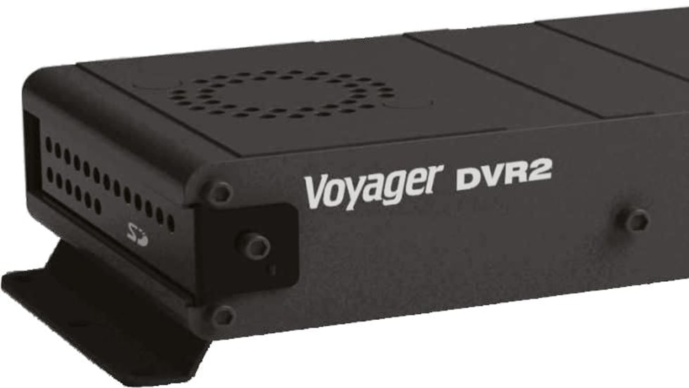
The new, high-tech Voyager digital video recorder, designed for the bus and motorcoach industry, features dual-camera recording capability along with streamlined user-friendly playback software.
Read More →New York City, Washington, D.C. and Salt Lake City users can now access live departure times on rail lines.
Read More →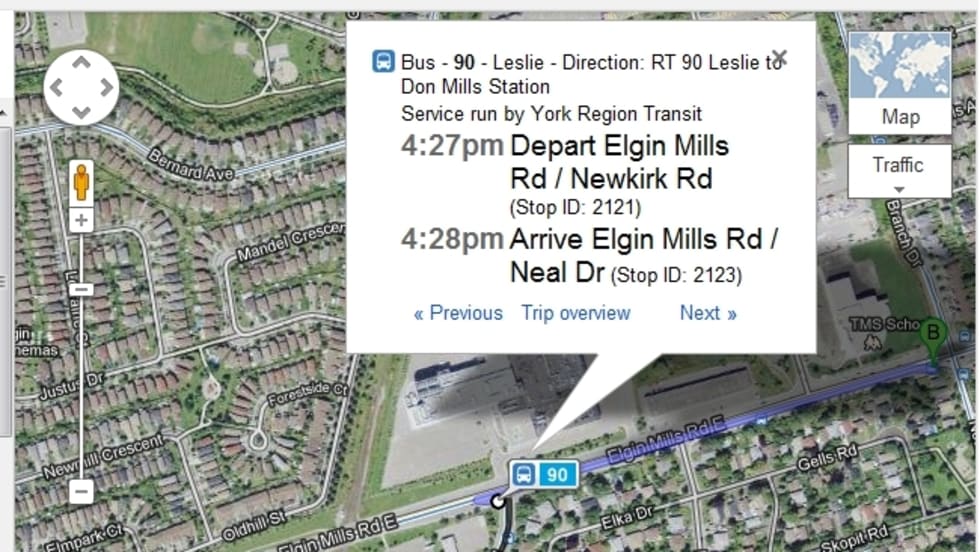
YRT/Viva is the first transit agency in Canada to offer real-time trip planning on Google with up-to-the-minute next bus departure information.
Read More →
The new version allows you to highlight a single mode of transportation (subway, bus, or train), temporarily hiding the other transit information, thus making it easier to map your destination.
Read More →Riders can click on any of the 468 stations labeled on Google Maps to find planned service changes expected to affect that station at the time. Alerts will also be included in the step-by-step transit directions.
Read More →Move allows third-party developers plugging Google’s Maps product into their web and mobile applications to provide their users with public transit routes, color-coded transit layers, and schedules.
Read More →Initiatives include real-time ride sharing, transportation demand management, Google Transit, transit tracking, street landscaping and bike sharing.
Read More →The beta version for estimated time of arrival/real-time tracking, launched for consumer testing, lets riders subscribe to get real time status updates and alerts delivered to their mobile devices for their preferred routes and transit stops.
Read More →In addition to added bus and subway options, users will also be able to select from various route options, such as the recommended route, one with fewer transfers, or one that involves less walking.
Read More →