Metro Magazine

 MENU
MENU SEARCHMENUSEARCH
Loading data...

Embattled CEO Charles Odimgbe, who was placed on administrative leave last month while the agency's finances are being investigated, ordered the new color scheme, but did not seek the approval of the agency’s board of directors, a RIPTA spokesperson said.
Read More →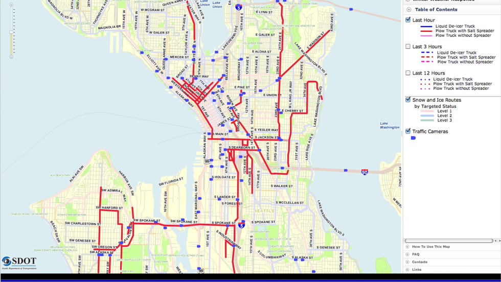
The new integration helps organizations and municipalities determine capacity enhancements, improve fuel efficiency, optimize routes and share interactive transportation maps on the Web, according to the company.
Read More →Central Florida Regional Transportation Authority received $3.36 million from the FTA for vehicle upgrades. The funding will pay for up to 42 new vehicles.
Read More →Will replace nine or 10 aging vehicles, some of which have surpassed 10 years of service or 300,000 miles.
Read More →A.R.M.O.R-Auto Pilot manages wireless downloading, reporting and automated notification of video events the user defines, as well as video download requests made while the vehicle is off or in the lot. A.R.M.O.R-Diagnostics is a vehicle, DVR and camera diagnostics software tool that allows proactive monitoring of fleet health status.
Read More →Will provide Enterprise Asset Management technology to manage right-of-way, including inspections, defect recording and repair of rail track, signals, switches, catenary, and electric traction.
Read More →While some students have raised concerns about the longer wait times for the buses, school officials say the fleet reduction will save students money.
Read More →Will replace and supplement its current fleet in tiered procurements through 2023. Awarded equipment contracts to Siemens Transportation and CAF USA for $466 million and $298 million, respectively.
Read More →Includes an intermodal CAD/AVL system, on-board mobile data terminals, automatic passenger counting technology, next stop announcements, in-vehicle variable message signs, real-time vehicle diagnostics; and interfaces to existing destination signs; bike rack sensors, and wheelchair lift sensors.
Read More →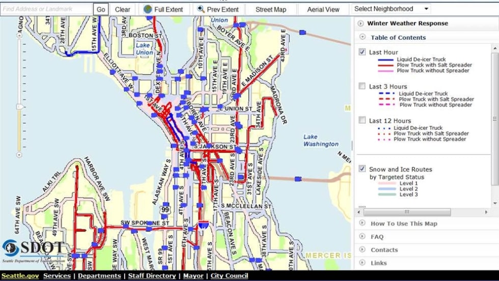
Integrated their technology to deliver real-time fleet data layered with sophisticated geographic map information. The resulting system helps companies determine capacity enhancements, improve fuel efficiency, optimize routes and share interactive transportation maps on the Web.
Read More →