
3 spatial tools to help you maintain your wayside PTC assets
With thousands of pieces of new infrastructure, railroads are asking: How are we going to manage all these safety-critical PTC assets?
With thousands of pieces of new infrastructure, railroads are asking a key question: How are we going to manage all these safety-critical PTC assets?
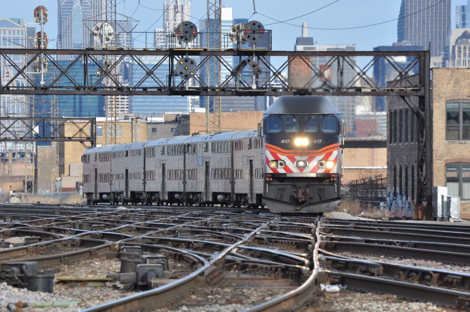
Metra

In recent years, few topics have garnered as much attention in rail as Positive Train Control (PTC). It makes sense. PTC is the FRA-mandated collision-avoidance system that each railroad must implement to ensure passenger safety. With North American agency’s working feverishly to finalize their PTC deployments, the industry is quickly approaching a watershed moment in railroad safety.
PTC is a network of equipment that gets installed in three places: wayside, vehicles (onboard), and central server/back office (Some systems also utilize a satellite/GPS component). With thousands of pieces of new infrastructure, railroads are asking a key question: How are we going to manage all these safety-critical PTC assets?
More specifically, the FRA requires you to track the asset’s configuration management. What this means is you must be able to track the following historical data about each asset, over their entire lifetime:
What is the equipment’s:
Physical location?
Compliance status? (Version? Is it fully-updated to the current, approved engineering configuration?)
Configuration now, and at any point in its history (last month, last year, etc.)?
Change history? (What is its detailed work and inspection history? Who/what/when/how?)
This complexity is compounded even further for wayside equipment (e.g., transponders). Wayside assets are numerous and geographically dispersed along the rail alignment. Imagine you have a PTC signal that needs a critical firmware update. You can’t waste time wandering the track, not knowing where it is. So, here are three critical spatial functions that a rail asset management solution needs to effectively manage wayside assets: a linear reference system (LRS), GIS mapping, and mobile.
A linear reference system (LRS) is the foundation of any good wayside asset management system. One simple way to think of your rail alignment is as a series of rulers, where each ruler represents one of your operational lines, and each tick (fractions of an inch or millimeters) shows you how far you are from the start of the line. In LRS terminology, the tick marks are your engineering markers (mileposts or chaining) for measuring precise distances from a fixed “zero point.” Things like overhead catenary poles or intersection/level crossings can also be markers.
So, why is an LRS so important for managing PTC wayside assets? Because, as a railroad, your LRS is the precise reference system that is even more valuable than just GPS (latitude/longitude). It tells you exactly where your assets are along the operational line — transponder #274 is 10 feet from milepost 14+70, which is 1,470 feet from chaining zero. The LRS in your software allows you, your inspectors, and your mobile apps to locate your PTC assets with precision.
Geographic information system (GIS) software allows you to view the location of all your PTC assets on maps. Looking at an aerial view of your track, you can quickly locate all your assets with just a few mouse clicks. Combined with an LRS, your GIS maps increase the speed it takes to find the relevant PTC assets. Do you need to inspect a single transponder? Easy — find the one you need on the map and create a work order to inspect it. Need to generate a campaign across many of them? Also, easy — just click-and-drag over the map area to “lasso” them and begin workflow against them all. Mapping makes interacting with your PTC data simple and intuitive.

Mobile with GPS. Whether it’s track walkers performing inspections or technicians repairing a signal, wayside work is by-definition in the field. By putting vital information into the hands of your field workers, mobile apps are a critical tool for effectively managing railroad PTC systems. They are the best way to eliminate inefficient and unreliable paper-based workflows while maximizing the accuracy of data captured.
Leading wayside mobility solutions leverage the power of GIS mapping and real-time global positioning system (GPS) location information to lock-in automatically on your actual physical location along the right-of-way (five feet from milepost 14+30 at New Haven rail station), all in the palm of your hand. By capturing the exact geo-location of the PTC defect you have found (or work performed), using these systems guarantee better data quality and compliance with PTC regulations.
Additionally, make sure to choose a system that works seamlessly in both online and offline mode (a local database keeps the information stored on the device until it reconnects to the network). This way you can continue work, even when you’re in an area with bad or no service (e.g., in a tunnel).
Combined functionality. The FRA mandates active management of your wayside PTC equipment. The combined functionality of linear reference system, GIS mapping, and mobile with GPS are the key features to look for in a PTC-ready asset management system. They empower your workforce with the information and location-precision to manage complex, geospatial assets. These types of tools make your PTC workers more efficient and their results more reliable, resulting in an improved PTC maintenance culture that ensures regulatory compliance while maximizing safety. And that’s a no-brainer.
Brett Koenig is Industry Solutions Manager, Enterprise Asset Management, at Trapeze.
More Rail
Biz Briefs: STV teams with Amtrak, Motorcoach Operators Boost Fleet and Land Contracts, and More
From manufacturers and suppliers to transit agencies and motorcoach operators, these updates offer a snapshot of the projects, partnerships and business moves driving the industry forward.
Read More →
Metra Celebrates 100 Years of Electric Rail, Looks to the Future
The event was also a celebration of recent reforms to public transportation in the Chicago area, changes that could be as transformative in the future as the major civic achievement a century ago, said officials.
Read More →
LA Metro Marks Banner Year, Sets Ambitious Goals for New Fiscal Year
Incoming LA Metro Board Chair and Los Angeles Mayor Karen Bass joined outgoing Board Chair Fernando Dutra and LA Metro CEO Stephanie Wiggins to review accomplishments from fiscal year 2026, which included the opening of new rail extensions, advancement of major transit projects, expanded safety programs, and new rider amenities.
Read More →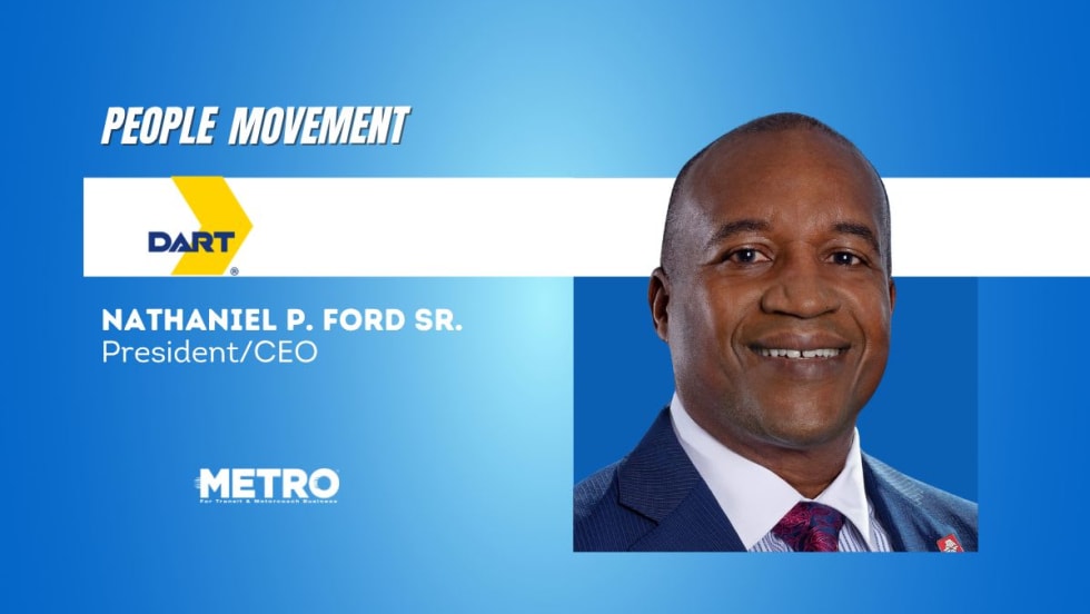
DART Taps Nathaniel P. Ford Sr. as Next President/CEO
Since 2012, Ford has served as the CEO of the Jacksonville Transportation Authority
Read More →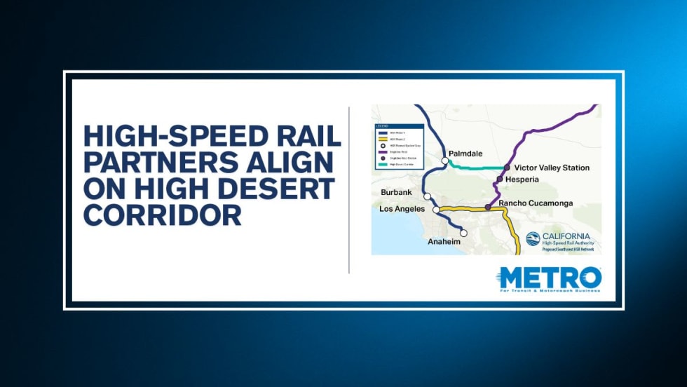
California High-Speed Rail Authority Signs MOU to Advance High Desert Corridor
The agreement deepens collaboration between the California High-Speed Rail Authority and the High Desert Corridor Joint Powers Agency, supporting design integration, cost savings, and faster delivery of a key Southern California rail link.
Read More →
Building the Next Generation of Transit Technology
In this edition of METROspectives, Luminator CEO Magnus Friberg discusses the company's transformation, the growing role of AI and software, and what's next for transit technology.
Read More →
How Data, Strategy, and Community Engagement Are Reshaping Transit
In this edition of METROspectives, strada360 CEO Steve Lassey discusses how transit agencies can better align planning with operations, leverage data to improve decision-making, and build public trust as they prepare for the future of mobility.
Read More →
TTC Launches Camera Pilot to Curb Illegal Passing of Streetcars
During the pilot, the cameras will measure how often illegal streetcar passing occurs and test the technology's reliability for future automated enforcement.
Read More →
NJ TRANSIT Secures Capital Funding, Adopts FY2027 Budget
The budgets continue investments in infrastructure and equipment to maintain the system in a state of good repair and enhance the overall customer experience.
Read More →
Biz Briefs: Masabi Teams with St. Louis Metro and More
In METRO's latest installment, we take a look at recent news from Transdev, Hitachi, and more partnerships making headlines across the transportation sector.
Read More →