
New tool calculates housing, transportation costs
The Location Affordability Portal will help consumers and communities better understand the combined costs of housing and transportation associated with living in a specific region, street or neighborhood and make better-informed decisions about where to live, work and invest.

A new cost calculation tool allowing users to estimate housing and transportation costs for neighborhoods across the country.
The Location Affordability Portal (LAP), unveiled by the U.S. Department of Transportation (U.S. DOT) and U.S. Department of Housing and Urban Development (HUD) will help consumers and communities better understand the combined costs of housing and transportation associated with living in a specific region, street or neighborhood and make better-informed decisions about where to live, work and invest.
“Transportation and housing are usually the two biggest expenses a family faces,” said U.S. Transportation Secretary Anthony Foxx. “Now, hardworking families all across the country can make better informed decisions about where to live and work, including how their different transportation options may impact those choices.”
The LAP hosts two cutting-edge data tools: the Location Affordability Index (LAI) and My Transportation Cost Calculator (MTCC). The map-based LAI is a database of predicted annual housing and transportation costs for a particular area.
The LAI includes diverse household profiles — which vary by income, size and number of commuters — and shows the affordability landscape for each one across an entire region. It was designed to help renters and homeowners, as well as planners, policymakers, developers and researchers, get a more complete understanding of the costs of living in a location given the differences between households, neighborhoods and regions, all of which impact affordability. The data covers 94% of the U.S. population.
The Cost Calculator, a companion to the LAI, allows users to customize data for their own household and potential residential locations. Users enter basic information about their income, housing, cars and travel patterns. The customized estimates give a better understanding of transportation costs, how much they differ in other locations and how much they are impacted by individual choices, allowing users to make more informed decisions about where to live and work.
The LAI was developed with the input of real-estate industry professionals, academics and expert staff from HUD and U.S. DOT, and uses statistical models that were developed from various sources that capture key neighborhood characteristics: population density, transit and job access, average number of commuters and distance of commutes, average household income and size, median selected monthly owner costs, and median gross rent.
The LAI also considers: car ownership, annual vehicle miles traveled, percent of commuters using transit, average selected monthly ownership costs and average gross rent. This data is then used to calculate total housing and transportation costs.
Most of the model uses data that describe features of a neighborhood that are the same regardless of who lives there. To show how affordable neighborhoods across a region are for different types of households, the LAI presents data in terms of eight different household types — each characterized by the number of family members, household income and number of commuters — that represent a broad range of U.S. families. Descriptions of these household types, as well as the complete methodology used to create the Index, are available on the LAP.
HUD and the U.S. DOT have analyzed the LAI data to better understand how housing and transportation costs vary between neighborhoods and across regions, and how land use, infrastructure investment, neighborhood characteristics and demographic factors ultimately impact household budgets.
The core finding of the LAI is that the way communities are built and connected to one another has significant impacts on how much resident households spend on transportation. At the neighborhood level, factors like the density of residential development, access to transit and jobs, and street connectivity strongly influence household travel behaviors and costs. At the regional level, sprawl is the strongest indicator of average transportation costs, with households in higher density areas having lower transportation costs.
For more on the calculator from HUD, click here.
More Paratransit

METRO Magazine Announces 2026 Innovative Solutions Awards Winners
Projects Recognized for Advancing Mobility Through Technology, Accessibility, Workforce Innovation, and Operational Excellence
Read More →Biz Briefs: STV teams with Amtrak, Motorcoach Operators Boost Fleet and Land Contracts, and More
From manufacturers and suppliers to transit agencies and motorcoach operators, these updates offer a snapshot of the projects, partnerships and business moves driving the industry forward.
Read More →
Biz Briefs: Masabi Teams with St. Louis Metro and More
In METRO's latest installment, we take a look at recent news from Transdev, Hitachi, and more partnerships making headlines across the transportation sector.
Read More →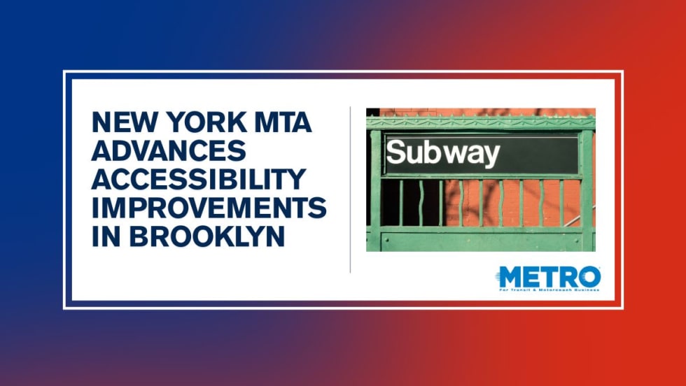
New York MTA Leverages Zoning Program to Advance Station Accessibility
Accessibility enhancements at Nevins St Station will be financed through a development agreement tied to the MTA's Zoning for Accessibility initiative.
Read More →
Reinventing Fleet Maintenance with Real-time Visibility and AI
Transit leaders need to know what needs fixing, where to look, who is responsible, when work is completed, and what it costs without having to chase information across disconnected systems.
Read More →
SamTrans Sets Priorities for Potential Connect Bay Area Revenue
The board-approved framework allocates future funding to maintaining service, rider improvements, equity initiatives, and infrastructure repairs.
Read More →
Chicago's NITA Act Moves Into Next Phase as Service Improvements Begin
Rider-focused improvements will begin rolling out across the system immediately as CTA, Metra, and Pace increase service this summer in the six-county region.
Read More →
2026 METRO Buyer’s Guide & Directory
Searching for the right vehicles, technology, equipment, or services for your public transit or motorcoach operation? This industry guide brings together manufacturers and suppliers from across the transportation market — all in one place. Download it to connect with the companies that help agencies and operators improve mobility, enhance operations, and move their organizations forward.
Read More →
Rays the Mark Foundation to Honor CDTA’s Emily DeVito at October Fundraiser
Event at Chicago-area Ravisloe Country Club will support DeVito, a transit employee and mother of twins battling kidney failure and awaiting a transplant.
Read More →
King County Test Heliox Chargers, Keolis Lands California Contract Top Biz Briefs
Stay informed with these quick takes on the projects and companies driving progress across the transportation landscape.
Read More →