

Loading data...
Moovit is the first public transport app based on combining crowd-sourced, real-time data with existing schedules to give commuters a minute-by-minute picture of what their journey will be like and identify if there is a faster, or more comfortable alternative at that precise moment.
Read More →By riding with the application open, users contribute real-time speed and location data about their trip. Users can also send overcrowding, cleanliness and rankings reports.
Read More →After first releasing its schedule data in the industry-standard GTFS format to developers in 2009, the MBTA jumped to the forefront of sharing real-time transit data by making live location and prediction data for all 1,000 buses available to developers in 2010.
Read More →Was launched in 2011 to provide estimated train arrival times for all 145 rail stations across CTA’s eight lines. Estimated times are generated through a combination of scheduling information and data generated by software that monitors the signal system to indicate when a portion of track is occupied by a train.
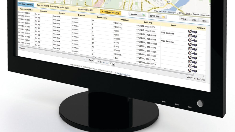
Read More →Seon integrated its vMax Live Plus real-time tracking system with US Computing Inc.’s Compass routing software. The integration will enable the two Web-based applications to share vehicle positioning and routing data, providing bus operators with greater insight to help streamline operations and improve efficiencies.
Read More →Operators share practices crucial to boosting sales, including the use of data management software, engaging the customer and providing quick responses.
Read More →The integration will enable the two Web-based applications to share vehicle positioning and routing data, providing school bus operators with greater insight to help streamline operations and improve efficiencies.
Read More →Outstanding safety recommendations included, enhance the safety redundancy of [Metro’s] train control system by evaluating track occupancy data on a real-time basis and Implementing cable insulation resistance testing as part of Metrorail’s periodic maintenance program.
Read More →A new integration between fleet telematics provider Zonar and geographic information system provider Esri delivers real-time fleet data layered with sophisticated geographic map information.
Read More →Will provide transit agencies like Metro with real-time interaction between the vehicle fleet and dispatch center for safer and more efficient operations.
Read More →