Metro Magazine

 MENU
MENU SEARCHMENUSEARCH
Loading data...
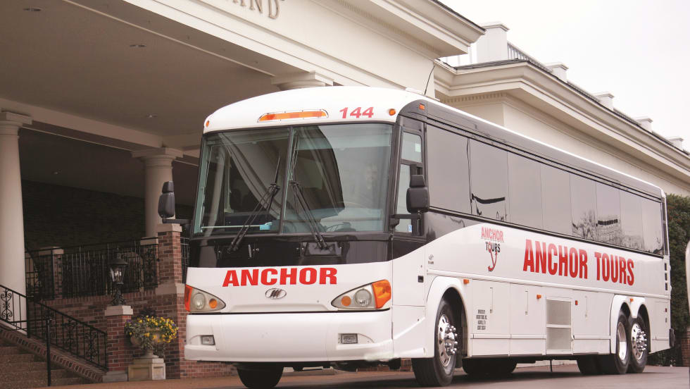
Operators share practices crucial to boosting sales, including the use of data management software, engaging the customer and providing quick responses.
Read More →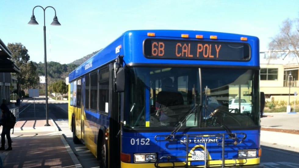

Operators are not only hoping to replace aging buses and vanpool vehicles, they are also looking for support for bicycle programs, electric vehicle charging stations and dispatch/demand-response software.
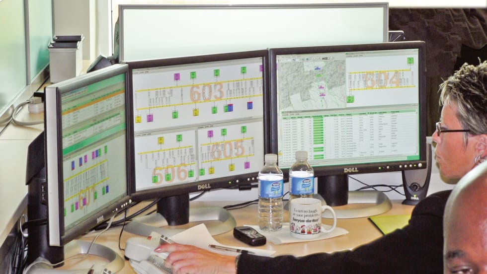
Read More →With the development of smart devices and open data platforms in the transit market, fleet efficiency solutions are becoming much more diverse. Rather than buying a telematics suite, customers can mix and match to keep costs low.
Read More →Thirty-nine transit systems will receive core scheduling, dispatching, route optimization module and tablet mobile data devices for automated vehicle location, reducing paper, and improving driver and dispatcher communications.
Read More →The agency incorrectly used software provided by the National Weather Service that could have warned against a decision to leave hundreds of millions of dollars’ worth of equipment in a low-lying rail yard before Superstorm Sandy struck and damaged nearly one-third of the transit system’s fleet.
Read More →The study concludes by noting that software applications ought to be developed that address the need for data interoperability for scheduling and dispatching for the paratransit and transit industry.
Read More →Independent Living Partnership’s TripTrak subscription service was designed to facilitate complete administration and management of special needs senior transportation model programs. It originally assisted the TRIP Program in Riverside County. Eventually, other organizations operating TRIP model services asked for the software.
Read More →Will improve the City's GoBus Accessible Transit operations through expanded advanced intelligent transportation technologies. Enhancements include a recently launched customer web portal and Interactive Voice Response.
Read More →The integration will enable the two Web-based applications to share vehicle positioning and routing data, providing school bus operators with greater insight to help streamline operations and improve efficiencies.
Read More →Unlike many other San Francisco Bay Area transit agencies, the agency hasn't made the information available on 511, the regional transit information service. Software issues have delayed a real-time bus information system for years.
Read More →