Metro Magazine

 MENU
MENU SEARCHMENUSEARCH
Loading data...
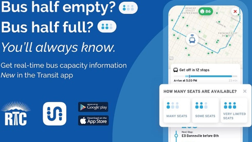
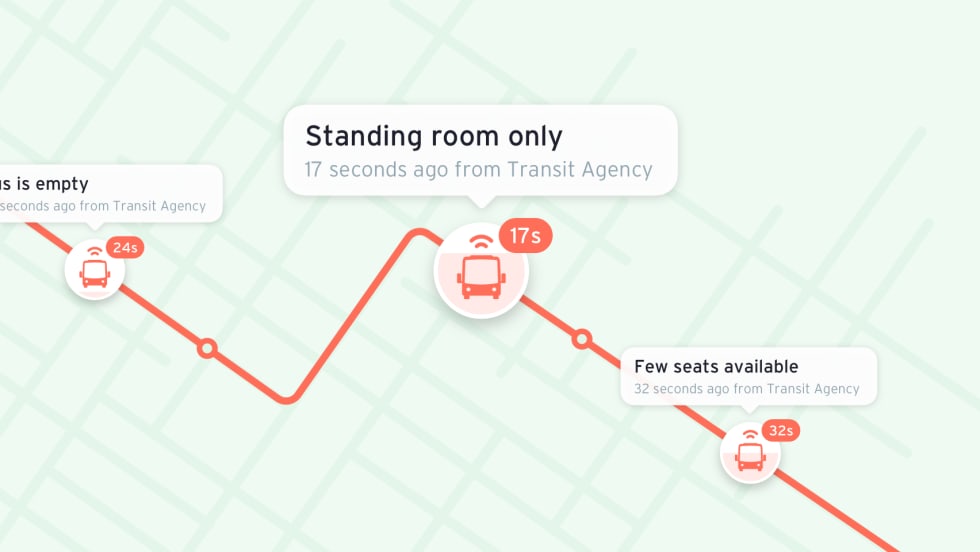
When users tap their route line in the Transit app, they see a map showing the live locations of transit vehicles along their route and current crowding levels.
Read More →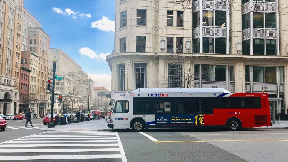
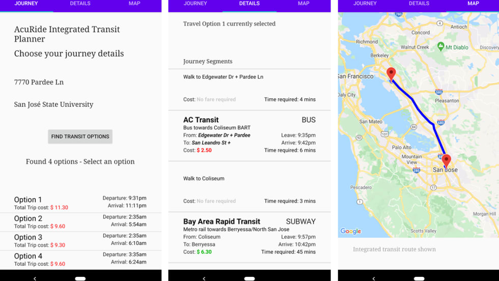
Customers can find this real-time information when tracking their bus at buseta.wmata.com, and in the agency’s open data feed for third-party transit and mapping applications like Google Maps.
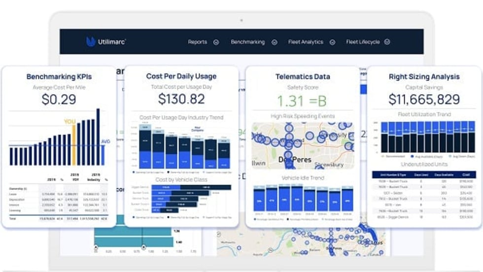
Read More →The integrated platform syncs with users’ data sources and provides real-time information with a picture of how their fleets are performing.
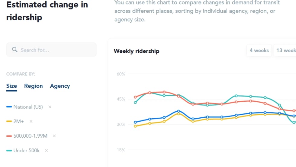
Read More →Transit’s team also analyzes route-level and system-wide origin-destination data, to provide transit agencies with up-to-date information about rider demand in its Transit Dashboard.
Read More →Incorporating cutting edge GPS and accelerometer sensors, the rMetrix-A system effectively and efficiently assesses ride quality, comfort, and safety.
Read More →With the Transit app, those waiting for a bus can get information showing that a particular bus has “many seats," “some seats,” or “very limited seats.”
Read More →Cal-ITP was created by the California State Transportation Agency and its partners to facilitate easy and accessible travel planning and payments across the state and recommends that transit agencies implement GTFS in the real-time mode to provide more frequent updates to train and bus schedules.
Read More →As part of this project, Swiftly is leveraging existing GPS data from onboard broadband routers and the agency’s dispatch system, Trapeze’s TransitMaster.
Read More →As part of this shift, BBB is also partnering with Swiftly Inc. to help deliver more accurate, consistent, and reliable data to power Transit.
Read More →Using passenger counting data coming out of bus or train fleet, agencies can analyze current ridership and trend per route and optimize vehicle utilization and schedule to the current reality.
Read More →