

RELATED: SDMTS wins APTA award for pedestrian safety campaign
San Diego MTS' rail unit adopts LiDAR tech to enhance track data
The new image-enhancing technology provides pinpoint accuracy of the agency’s 106 miles of track.
May 10, 2017
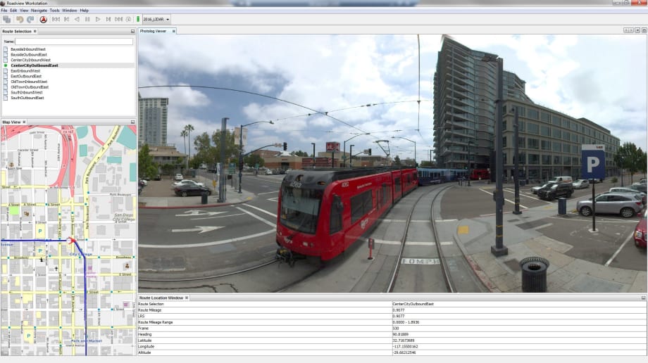
Roadview is a technology-driven software solution developed through a laser-guided mapping and detection technology called LiDAR.
3 min to read

A new image-enhancing technology has been adopted by the San Diego Metropolitan Transit System’s (MTS) rail division that provides pinpoint accuracy of the agency’s 106 miles of track, and more clarity about the work ahead even before employees step foot on the right-of-way. The word is now spreading to other departments that are finding it useful as well, according to agency officials.
It’s called Roadview — a technology-driven software solution developed through a laser-guided mapping and detection technology called LiDAR.
“Roadview allows MTS to find, map, and categorize everything along the right-of-way. It’s helped our track team analyze work that needs to be done faster and more efficiently,” said Paul Jablonski, MTS CEO.
It’s similar to Google’s Street View system that offers users panoramic views from on-the-ground positions along many streets and neighborhoods in the world.
MTS hired Mandli Communications to take the Google Street View idea from the streets to the rails. Using a front-mounted camera on a Trolley that traveled on all three lines, a panorama of stitched images consisting of the entire MTS right-of-way was created.

Big proponents and users of Roadview are the MTS Track and Wayside departments. There’s a lot of ground to cover on three light rail lines operating through seven different cities. And it’s a challenge to keep up with inventory (i.e. 87 crossing gates, 115 miles of catenary wire, 63 traction substations to thousands of fasteners, nearly 300,000 cross ties, insulated joints, switches, and much more).
Track condition is primarily monitored by visual inspections. And it’s important to have these eyes and ears on the ground. But its also time consuming and cumbersome. Recording specific locations through Roadview’s GPS feature speeds up the visual inspections, maintains a strict accounting of assets and understand when and where items need to be replaced.
“It really comes in handy to pin down locations using GPS coordinates with contract work,” said Fred Byle, MTS Superintendent of Wayside Maintenance. “If a contractor pins a GPS location where we need to do repairs like cut a rail, change out a rail tie, or replace insulated joints, we can see the exact spot through Roadview. It saves a lot of time.”
And while Track and Maintenance of Wayside have found substantial benefit from Roadview, other departments are finding ways to use it as well — particularly in the classroom.
“Roadview is a perfect element for the train operator training program,” said Dave Jensen. “We are just getting into the process of using it. It shows news students all the intricacies of the system through a new lens. We can visually show students about defensive driving, what to look for in tough intersections, speed limits through certain areas and much more. And do it all from the classroom setting.”
MTS Right-of-Way Engineer Monica Coria said Roadview has helped her when analyzing permit requests for applicants who want to enter MTS property. “Google Earth or Google Street View help, but sometimes you hit gaps in coverage. Roadview fills in the gaps and also provides more details about existing conditions in a particular location on our tracks. It allows me to get multiple perspectives on a right-of-way permit request.”
Adopting new technology is commonplace across many MTS departments. But when one item, such as Roadview, can help multiple departments in different ways, it’s a win-win situation for employees and passengers.
More Rail
Biz Briefs: STV teams with Amtrak, Motorcoach Operators Boost Fleet and Land Contracts, and More
From manufacturers and suppliers to transit agencies and motorcoach operators, these updates offer a snapshot of the projects, partnerships and business moves driving the industry forward.
Read More →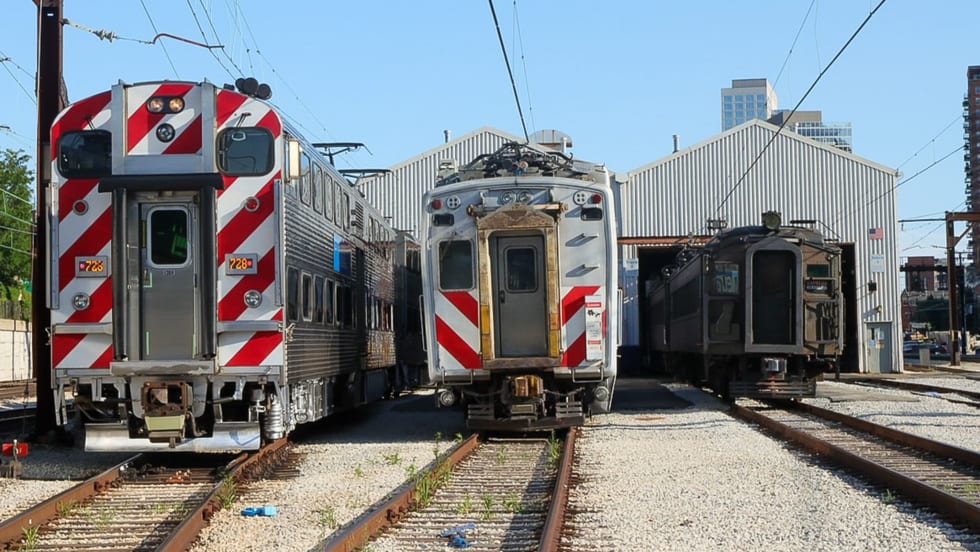
Metra Celebrates 100 Years of Electric Rail, Looks to the Future
The event was also a celebration of recent reforms to public transportation in the Chicago area, changes that could be as transformative in the future as the major civic achievement a century ago, said officials.
Read More →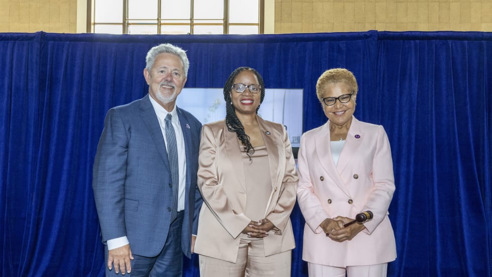
LA Metro Marks Banner Year, Sets Ambitious Goals for New Fiscal Year
Incoming LA Metro Board Chair and Los Angeles Mayor Karen Bass joined outgoing Board Chair Fernando Dutra and LA Metro CEO Stephanie Wiggins to review accomplishments from fiscal year 2026, which included the opening of new rail extensions, advancement of major transit projects, expanded safety programs, and new rider amenities.
Read More →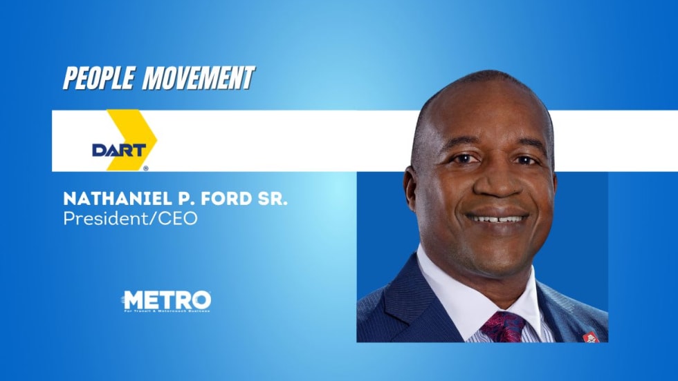
DART Taps Nathaniel P. Ford Sr. as Next President/CEO
Since 2012, Ford has served as the CEO of the Jacksonville Transportation Authority
Read More →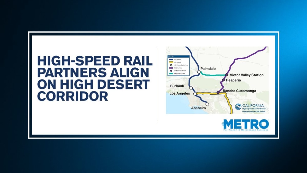
California High-Speed Rail Authority Signs MOU to Advance High Desert Corridor
The agreement deepens collaboration between the California High-Speed Rail Authority and the High Desert Corridor Joint Powers Agency, supporting design integration, cost savings, and faster delivery of a key Southern California rail link.
Read More →
Building the Next Generation of Transit Technology
In this edition of METROspectives, Luminator CEO Magnus Friberg discusses the company's transformation, the growing role of AI and software, and what's next for transit technology.
Read More →
How Data, Strategy, and Community Engagement Are Reshaping Transit
In this edition of METROspectives, strada360 CEO Steve Lassey discusses how transit agencies can better align planning with operations, leverage data to improve decision-making, and build public trust as they prepare for the future of mobility.
Read More →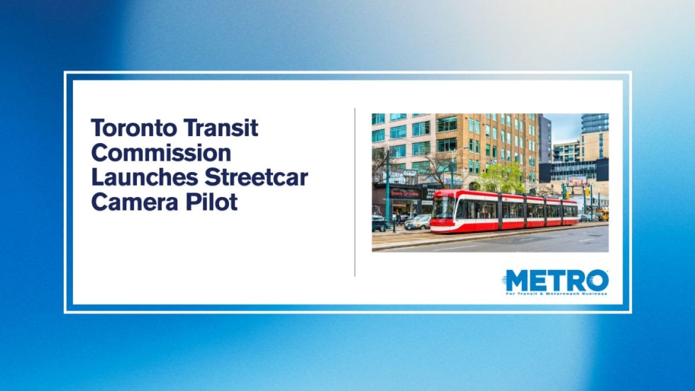
TTC Launches Camera Pilot to Curb Illegal Passing of Streetcars
During the pilot, the cameras will measure how often illegal streetcar passing occurs and test the technology's reliability for future automated enforcement.
Read More →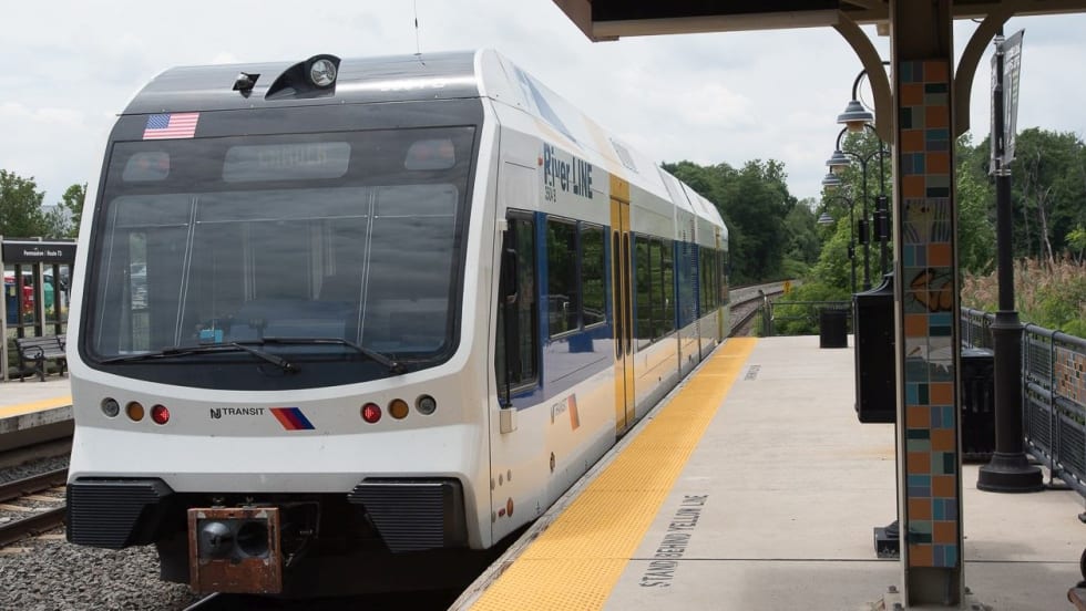
NJ TRANSIT Secures Capital Funding, Adopts FY2027 Budget
The budgets continue investments in infrastructure and equipment to maintain the system in a state of good repair and enhance the overall customer experience.
Read More →
Biz Briefs: Masabi Teams with St. Louis Metro and More
In METRO's latest installment, we take a look at recent news from Transdev, Hitachi, and more partnerships making headlines across the transportation sector.
Read More →