Metro Magazine

 MENU
MENU SEARCHMENUSEARCH
Loading data...
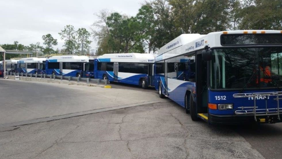
The agreement with UDT is to provide wireless connection for HART patrons for two hours at a time per bus ride.
Read More →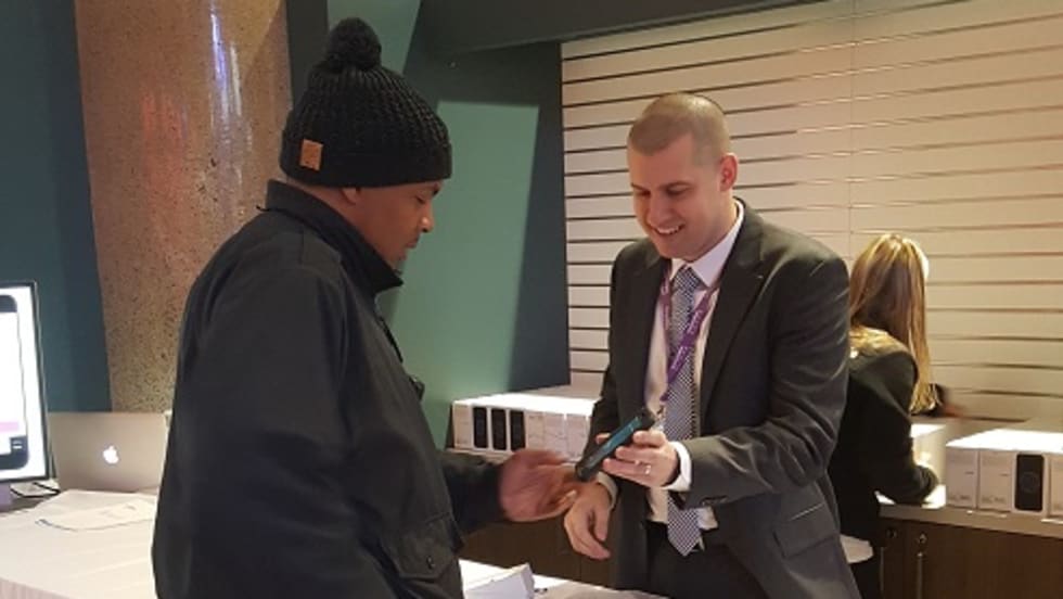

The smartphones are programmed with apps specially designed by Keolis with data on schedules, on-time performance and service disruptions.
Read More →The announcement responds to recent requests from app developers and is expected to generate new and better features on Metro-related mobile applications.
Read More →University of Washington researchers have developed an inexpensive system that uses Wi-Fi and Bluetooth signals from passengers’ mobile phones and devices to collect better data about where bus riders get on and off, how many people use a given stop and even how long they wait to transfer to another bus.
Read More →RideHop enables passengers to track - in real time - the progress of their scheduled motorcoaches along the routes to their bus stops. The app, which is available for Apple or Android smartphones, updates tracking data every three seconds, so that users can actually see the buses moving in real time.
Read More →For the first time, this site compiles data on how all states and communities are performing on a range of health-related transportation indicators.
Read More →Deploying elevated security towers at rail system parking lots; security kiosks; and access to real-time video/data via a LexRay mobile application, combined with "intelligence-led policing" and other law enforcement strategies.
Read More →Will use HaCon’s timetable information system, HAFAS, which works as a door-to-door information system with real-time data that helps passengers get the most up-to-date information on delays, connection status, service alerts or cancellations.
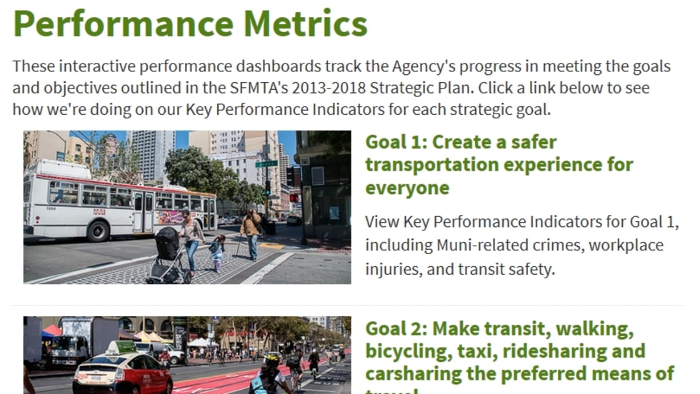
Read More →The site contains results from 13 key areas, including the percentage of on-time performance, mode share, crime stats, the agency’s carbon footprint, collision data and other information aligned with the SFMTA’s strategic plan.
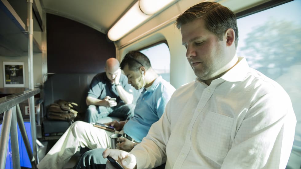
Read More →These findings are part of the Chaddick Institute’s Technology in Travel study, which includes more than 35,000 unique passenger observations since 2009. Passengers are counted once on a given trip. Each year, passengers are observed by trained data collectors to determine how they spend their time while traveling.
Read More →