

RELATED: How Universities Use Tech to Provide Safe Transportation
Google, TransLoc partner to provide smart public transit data management
Partnership allows transit agencies of all sizes to tap into big data and better understand community-based transit needs while increasing ridership.
July 17, 2017
2 min to read
TransLoc announced a partnership with Google to ensure accurate public transit information is efficiently integrated onto Google Maps at no cost to the public transit agency. This partnership is built on TransLoc Architect, a free web application for transit agencies of all sizes to manage and share transit data.
“Google Maps is one of the most popular applications for transit information on the internet,” said TransLoc CEO Doug Kaufman. “That said, it’s normally time and labor intensive for transit agencies to manage large volumes of real-time data for applications like Google Maps. This partnership allows transit agencies of all sizes to tap into big data and better understand community-based transit needs while increasing ridership.”
The partnership allows TransLoc to manage larger volumes of real-time transit information for agencies. The company can also manage the creation and maintenance of static transit data for applications, such as routes and stops, called General Transit Feed Specification (GTFS) information. GTFS and real-time information has typically required some level of technical expertise or expensive software. TransLoc Architect tackles this complex, laborious process with a visual and simplified platform that anyone can use.
Architect makes maintaining error-free public transit information simple for all agencies, while vastly improving access to public transit information for riders, according to TransLoc. With more robust information, smart cities can harness Architect to develop community-based transit options such as on-demand microtransit services.
More Technology
Sponsored•August 2, 2026
Turn Transit Data Into Action
Discover how leading agencies are using connected technology to gain real-time visibility across operations, improve service reliability, and reduce disruptions.
Read More →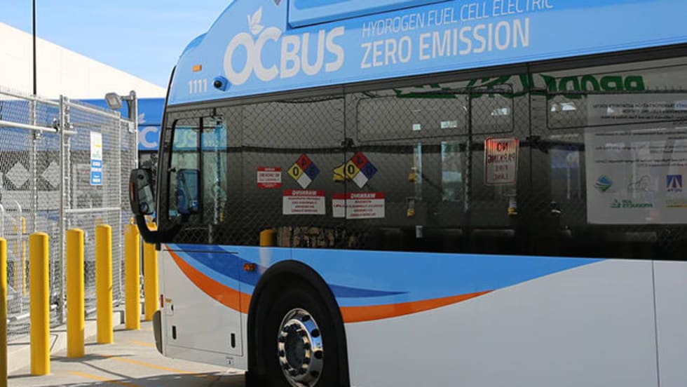
Biz Briefs: OCTA Taps Clean Energy for Hydrogen Station, Stadler to Supply Via Rail Vehicles, and More
From manufacturers and suppliers to transit agencies and motorcoach operators, these updates offer a snapshot of the projects, partnerships and business moves driving the industry forward.
Read More →
CharterUP Expands Into New Mobility and Autonomous Transportation
Vice President of New Mobility Stephen Joos discusses how CharterUP is leveraging its nationwide transportation network, technology platform, and autonomous vehicle partnerships to expand into workforce mobility, campus shuttles, and transit solutions.
Read More →
METRO Magazine Announces 2026 Innovative Solutions Awards Winners
Projects Recognized for Advancing Mobility Through Technology, Accessibility, Workforce Innovation, and Operational Excellence
Read More →
Cummins Introduces Phased Model Year 2027 Launch Strategy
According to officials, the approach is designed to maintain regulatory compliance, support customer production schedules, and provide additional time to ramp production in a disciplined manner that helps ensure a successful transition for the industry.
Read More →Biz Briefs: STV teams with Amtrak, Motorcoach Operators Boost Fleet and Land Contracts, and More
From manufacturers and suppliers to transit agencies and motorcoach operators, these updates offer a snapshot of the projects, partnerships and business moves driving the industry forward.
Read More →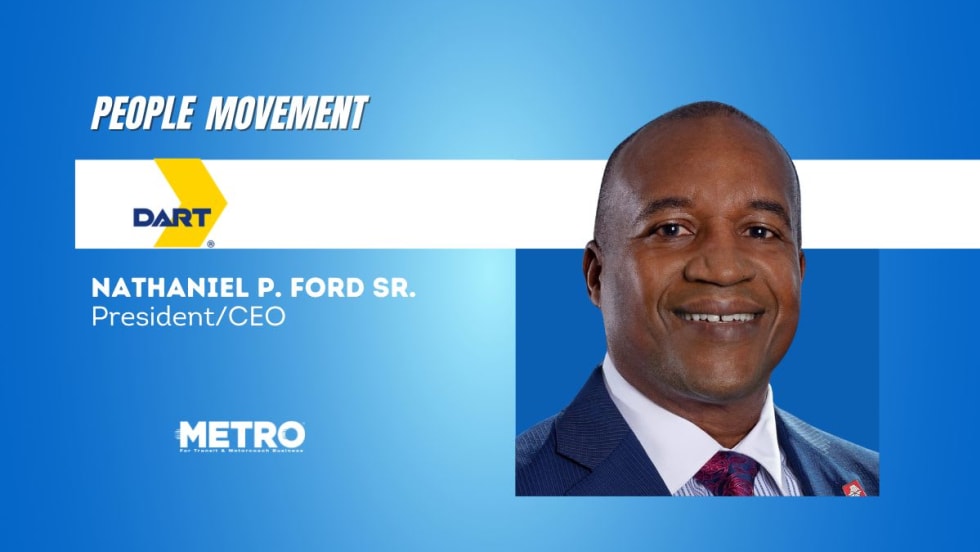
DART Taps Nathaniel P. Ford Sr. as Next President/CEO
Since 2012, Ford has served as the CEO of the Jacksonville Transportation Authority
Read More →
AC Transit’s Cecil Blandon on Building the Next Generation of Transit Maintenance Leaders
The agency’s maintenance chief discusses leadership, workforce development, zero-emission technology, and preparing technicians for the future of public transportation.
Read More →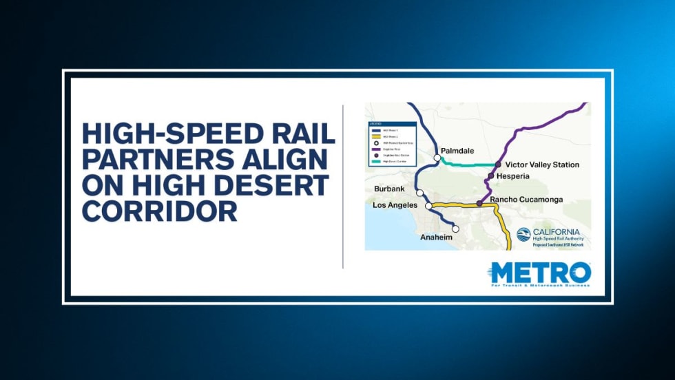
California High-Speed Rail Authority Signs MOU to Advance High Desert Corridor
The agreement deepens collaboration between the California High-Speed Rail Authority and the High Desert Corridor Joint Powers Agency, supporting design integration, cost savings, and faster delivery of a key Southern California rail link.
Read More →
Building the Next Generation of Transit Technology
In this edition of METROspectives, Luminator CEO Magnus Friberg discusses the company's transformation, the growing role of AI and software, and what's next for transit technology.
Read More →