Metro Magazine

 MENU
MENU SEARCHMENUSEARCH
Loading data...

Automatically updating every one to four minutes, BusTracker pulls data from three tracking systems installed on all of Greyhound’s buses to provide the latest schedule status for customers.
Read More →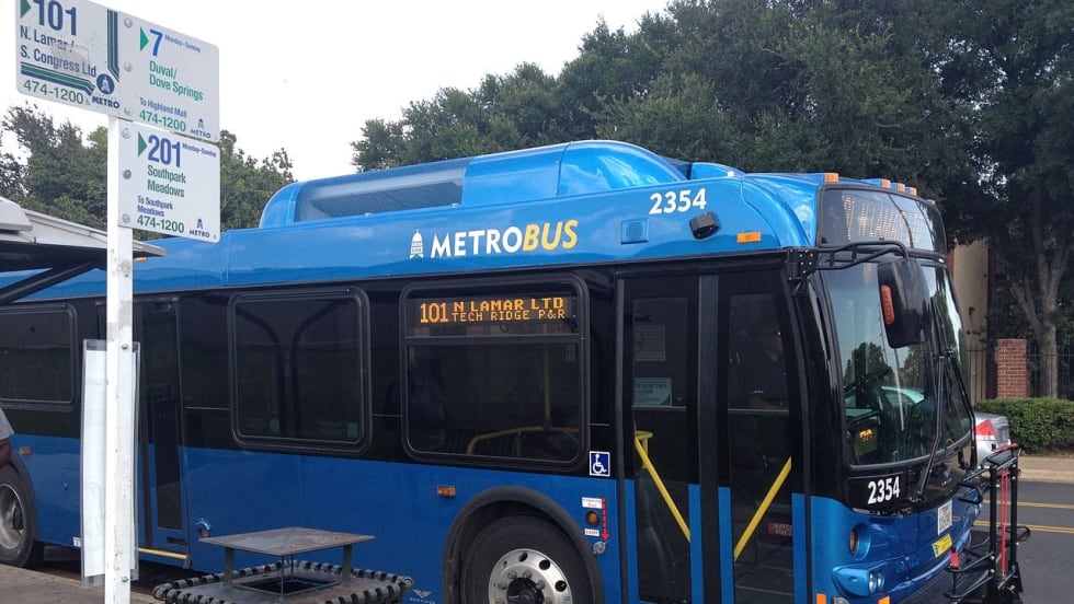

The agency rolled out real-time data on MetroRapid and MetroRail last year, receiving strong positive feedback from customers.
Read More →Transit App, a 10-person Montreal-based operation that collates transit information in nearly 90 cities, incorporated the real-time data over the course of an afternoon into its existing mobile app, which already has 20,000 users in Baltimore. Critics are questioning why the MTA couldn't produce a mobile app for its data.
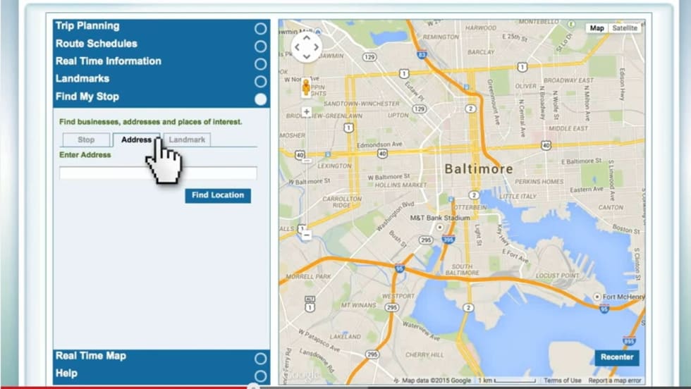
Read More →By launching the free app, which pulls real-time schedule data, riders can plan a trip and get up-to-the-minute arrival times on bus or light rail. Riders can view available public transit options based on current location, plan a future trip and bookmark their favorite routes.
Read More →Unlike a mobile application, Where’s My Ride is an integrated Intelligent Transportation System, developed by Strategic Mapping, that uses accurate location data provided by a GPS device that is mounted inside each DCTA Connect bus and A-train railcar.
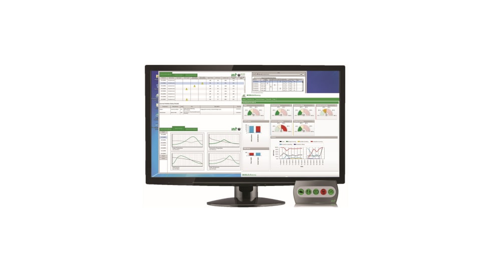
Read More →INIT’s new MOBILE-ECO2 addresses two main requirements facing today’s public transit environment: state of good repair and vehicle economy.
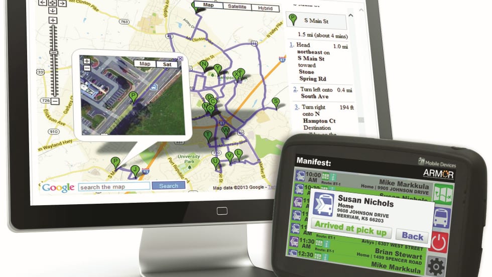
Read More →REI’s new A.R.M.O.R.-Mobility solution is the perfect answer for your demand-response scheduling conflicts.
Read More →To increase transparency and to give developers new forms of data to work with, the MTA is releasing four new sets of raw data. App developers will be able to use the new data and merge it with existing data to create apps that have never been seen before.
Read More →The company had been testing three routes using fixed pickups, will operate with an initial capacity of about 500 riders a day and scale up to 15,000 passengers over time.
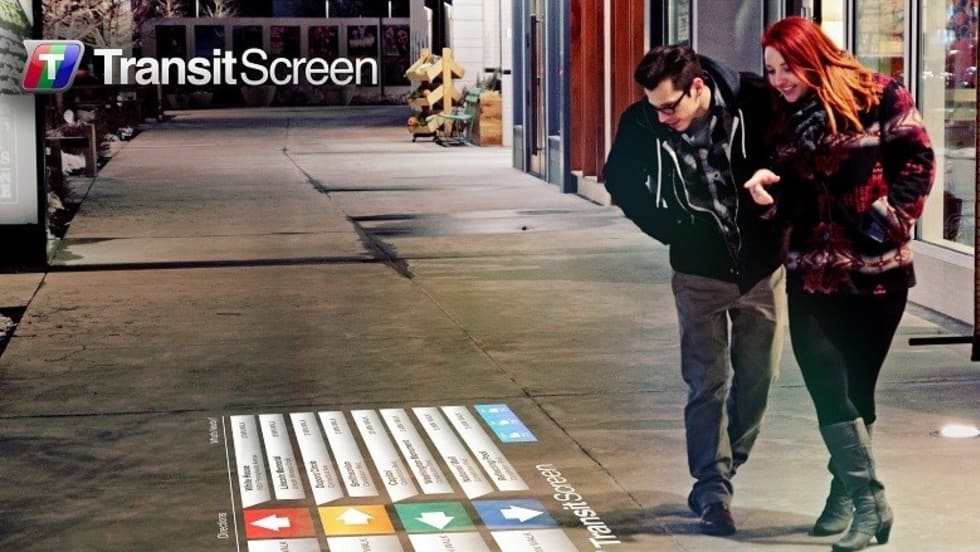
Read More →In addition to the real-time transit data provided by the screens, the projections would also embed way-finding information for transit options on sidewalks, walls, plazas, or even billboards.
Read More →