Metro Magazine

 MENU
MENU SEARCHMENUSEARCH
Loading data...

campusmaps.uark.edu lets students find bus routes, parking lots, bicycle racks, campus landmarks, and directions around campus.
Read More →Challenges student software developers to use the agency’s raw performance data on commercial bus companies to create new apps and online solutions that enable consumers to make smart safety decisions when booking their bus travel.
Read More →"Go Metro Los Angeles" offers trip planning, station/stop locations, bus arrival info, maps and notifications.
Read More →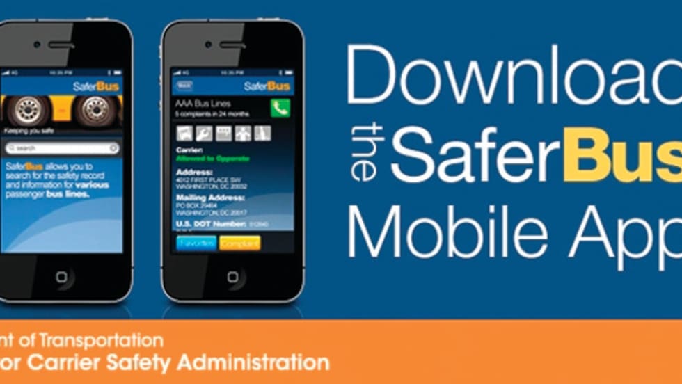
SaferBus provides access to safety records on approximately 6,000 interstate commercial passenger carriers operating in the U.S., which includes privately operated motorcoach, school bus and tour bus companies.
Read More →Smart phone users simply open the application, select an issue, take a picture and tap “submit” — the application picks up the exact location and sends the issue directly to the agency staff member responsible for addressing the issue.
Read More →In addition to added bus and subway options, users will also be able to select from various route options, such as the recommended route, one with fewer transfers, or one that involves less walking.
Read More →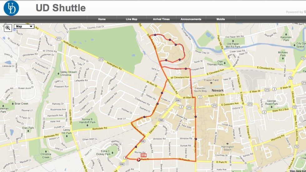
University transit system operators from Connecticut, Delaware, Illinois, Indiana, Pennsylvania and Wisconsin shared information about apps they use to enhance bus tracking.
Read More →Now available for Android as well as iPhones, the app,Tiramisu allows riders to tell other riders where and how full buses are. Since its July debut, riders have provided information about more than 11,500 trips.
Read More →Gives users bus schedules by bus stop, Metrorail train arrival times, and fare information, as well as Google trip planning.
Read More →MTA Bus Time will enable bus riders to use smart phones, text messaging or their Web browser to learn how far the next bus is from their stop, saving them time and making bus travel easier. Users also can scan QR codes on bus stop signs to learn instantly when the next bus will arrive.
Read More →