
U.S. DOT unveils map to encourage investment in rural communities
Opportunity Zones have been designated in all 50 States, the District of Columbia, and five U.S. territories.

The U.S. Department of Transportation (U.S. DOT) announced a new interactive map highlighting federal investment in major infrastructure projects located in and around underserved rural and urban communities, dubbed “Opportunity Zones.” The detailed information about vital infrastructure resources located in and near Opportunity Zones is intended to encourage further economic investment.
The 2017 Tax Cut and Jobs Act created a new economic development tool called Opportunity Zones. An Opportunity Zone is an economically distressed community designated by the state’s Governor and certified by the U.S. Secretary of the Treasury. Opportunity Zones were created to increase economic development in low-income and distressed communities. Opportunity Zones have been designated in all 50 States, the District of Columbia, and five U.S. territories.
For the past two years, the U.S. DOT has worked to engage Opportunity Zones by updating the criteria of infrastructure programs to address underserved, low-income rural, and urban communities. To date, the U.S. DOT has issued 13 Notices of Funding Opportunity that contain Opportunity Zones language. These programs awarded more than $2 billion in FY 2019.
The U.S. DOT’s interactive map illustrates data sets for:
Major Federal Highway Projects
Interstate Exits
National Highway System Bridges
Intercity Bus Stations
Commuter/Light Rail Stations
Amtrak (Stations, Industrial Properties)
Intermodal Rail Facilities
Intermodal Marine Facilities
Major Ports
Airports
National Highway System
Rail Sidings
For more information, view the U.S. DOT map, here.
More Management
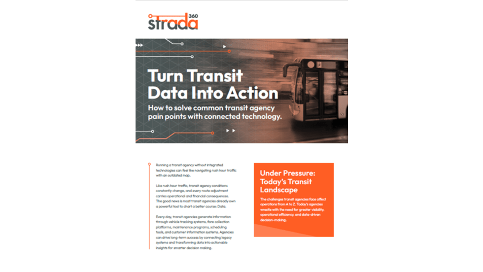
Turn Transit Data Into Action
Discover how leading agencies are using connected technology to gain real-time visibility across operations, improve service reliability, and reduce disruptions.
Read More →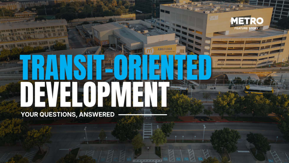
What Transit-Oriented Development Means for the Future of Public Transportation
Once viewed primarily as transit operators, agencies are now leveraging land, partnerships, and long-term planning to boost ridership, expand housing, and strengthen communities.
Read More →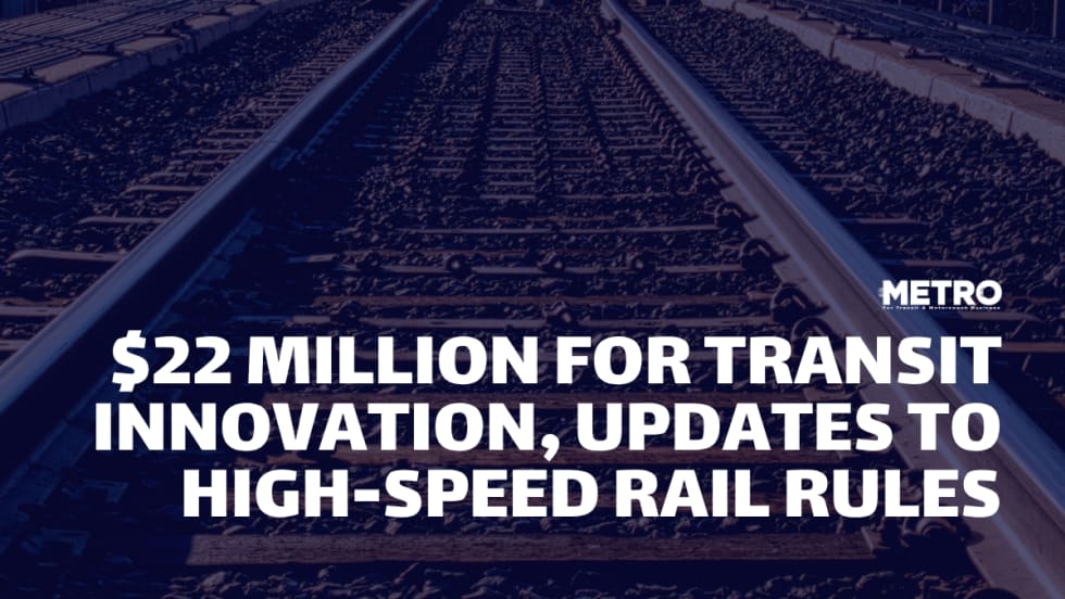
USDOT Announces $22 Million for Transit Innovation, Updates High-Speed Rail Rules
New federal transit funding will support safety, accessibility, and technology projects as updated rail regulations establish new noise standards for high-speed trains.
Read More →
Transportation Construction Coalition Unveils Infrastructure Case Studies Ahead of Federal Funding Deadline
The coalition noted the next surface transportation bill should provide sustained investment in highways and public transit to strengthen freight movement, improve safety, and support economic growth.
Read More →
People Movement: American Bus Association Extends Ferguson and More
METRO’s People Movement highlights the latest leadership changes, promotions, and personnel news across the public transit, motorcoach, and people mobility sectors.
Read More →
METRO Magazine Announces 2026 Innovative Solutions Awards Winners
Projects Recognized for Advancing Mobility Through Technology, Accessibility, Workforce Innovation, and Operational Excellence
Read More →
MBTA Rolls Out Pilot Programs to Cut Costs, Simplify Travel
Three new fare pilots — including unlimited two-hour transfers, reduced express bus fares, and free transit for eligible seniors — will launch this fall as Massachusetts extends popular commuter rail discounts through November.
Read More →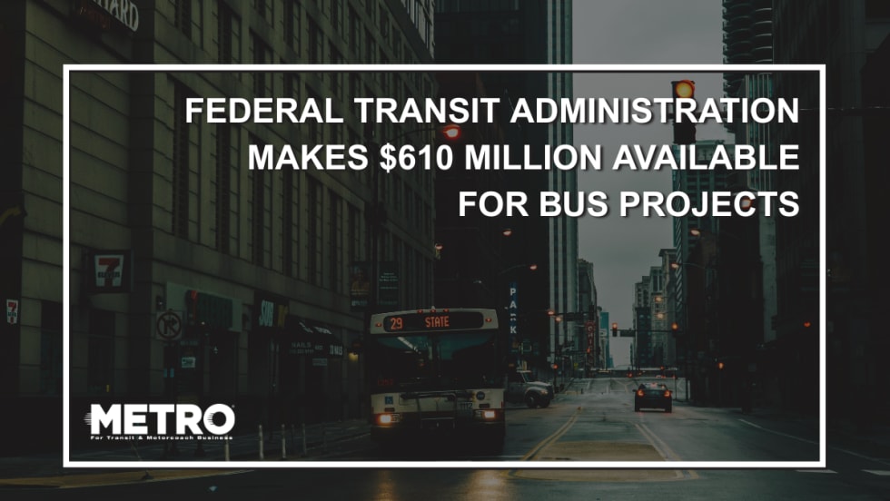
FTA Opens $610 Million Funding Opportunity for Bus Infrastructure Projects
The latest Notice of Funding Opportunity provides transit agencies with funding for bus facilities, fleet modernization, and low- and no-emission vehicles, with applications due September 21.
Read More →Biz Briefs: STV teams with Amtrak, Motorcoach Operators Boost Fleet and Land Contracts, and More
From manufacturers and suppliers to transit agencies and motorcoach operators, these updates offer a snapshot of the projects, partnerships and business moves driving the industry forward.
Read More →
Massachusetts Approves $530M to Strengthen MBTA Operations, Infrastructure
The funding package targets operating stability, capital improvements, and fare affordability, offering a model for agencies navigating long-term funding challenges.
Read More →