
Moovit adds augmented reality to app to boost accessibility of transit
Developed based on user feedback, the app will display digital directions on top of real-world images and help point the way for users to easily get to their destination.

Mobility as a Service (MaaS) solutions company Moovit announced the beta release of Way Finder, a feature that leverages augmented reality (AR) to better locate stops and stations and increase users’ confidence while using public transit.
Developed based on user feedback, Moovit is using the power of AR to display digital directions on top of real-world images and help point the way for users to easily get to their destination.
Commuters that aren’t intuitive with directions may often find themselves walking the wrong way at first when navigating an unfamiliar place, like when exiting the subway. Many people simply find themselves at the wrong bus stop on the other side of the street.
Such was the case with a loyal Moovit user who left her feedback on a humorous Facebook page, garnering lots of attention: “A feature that I need for Moovit: Cross the street, stupid. This isn’t the right side.” Taking this feedback seriously during Moovit’s 24-hour hackathon, dubbed Moovithon, Moovit developers created the beginnings of Way Finder.
Now rolling out to iOS users around the globe, Way Finder places digital directions and signs on top of the camera view to make it even easier to locate correct bus stops, subway entrances, and overall extra guidance. Future capabilities include pointing users toward taxi pick-up points and shared scooter locations.
Using Way Finder is easy. Once a user inputs a destination and selects a Suggested Route, they then:
Tap on the “Navigate” button to start Live Directions
Tap on the blue Way Finder button
Hold the phone up to the surrounding environment and Way Finder will begin
In Way Finder mode, the top half of the screen displays icons, and signs overlaid on a live camera view, with left and right turn arrows to indicate direction. The bottom half of the screen shows where a user is on the map from a bird’s eye view. When the phone is faced down, the screen will switch to map view only.
Moovit utilizes several layers of guidance, empowering users to get to their destination with confidence and peace of mind. Once a user selects a route, they can click on “Navigate” to enter the Live Directions screen where they will be provided with step-by-step navigational instructions. Users can choose to turn on “Get off alerts,” to be notified before it’s time to get off at the bus or train stop. Now, with Way Finder, users will be able to better orient themselves when looking for their stop or station.
More Technology
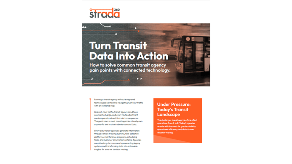
Turn Transit Data Into Action
Discover how leading agencies are using connected technology to gain real-time visibility across operations, improve service reliability, and reduce disruptions.
Read More →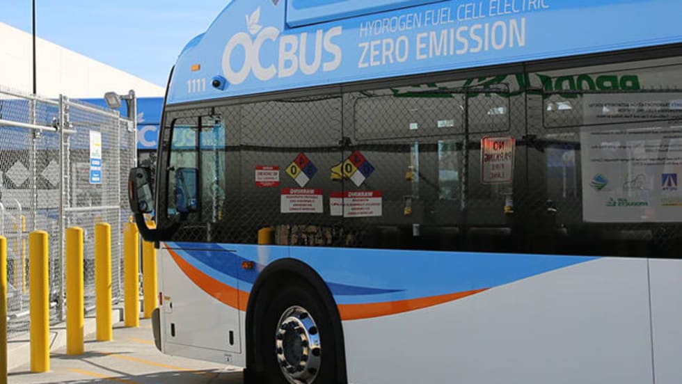
Biz Briefs: OCTA Taps Clean Energy for Hydrogen Station, Stadler to Supply Via Rail Vehicles, and More
From manufacturers and suppliers to transit agencies and motorcoach operators, these updates offer a snapshot of the projects, partnerships and business moves driving the industry forward.
Read More →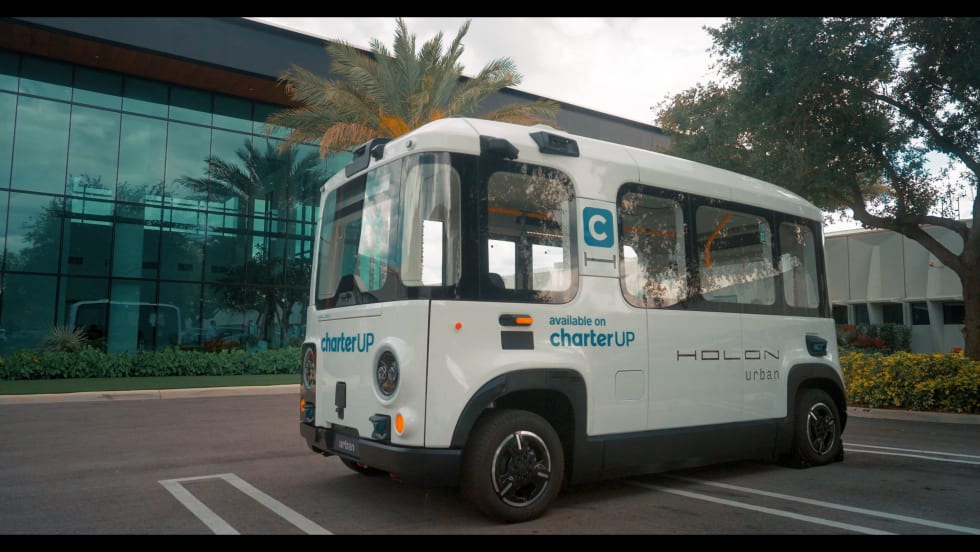
CharterUP Expands Into New Mobility and Autonomous Transportation
Vice President of New Mobility Stephen Joos discusses how CharterUP is leveraging its nationwide transportation network, technology platform, and autonomous vehicle partnerships to expand into workforce mobility, campus shuttles, and transit solutions.
Read More →
METRO Magazine Announces 2026 Innovative Solutions Awards Winners
Projects Recognized for Advancing Mobility Through Technology, Accessibility, Workforce Innovation, and Operational Excellence
Read More →
Cummins Introduces Phased Model Year 2027 Launch Strategy
According to officials, the approach is designed to maintain regulatory compliance, support customer production schedules, and provide additional time to ramp production in a disciplined manner that helps ensure a successful transition for the industry.
Read More →Biz Briefs: STV teams with Amtrak, Motorcoach Operators Boost Fleet and Land Contracts, and More
From manufacturers and suppliers to transit agencies and motorcoach operators, these updates offer a snapshot of the projects, partnerships and business moves driving the industry forward.
Read More →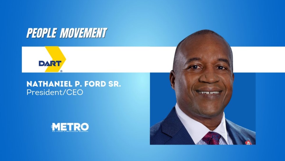
DART Taps Nathaniel P. Ford Sr. as Next President/CEO
Since 2012, Ford has served as the CEO of the Jacksonville Transportation Authority
Read More →
AC Transit’s Cecil Blandon on Building the Next Generation of Transit Maintenance Leaders
The agency’s maintenance chief discusses leadership, workforce development, zero-emission technology, and preparing technicians for the future of public transportation.
Read More →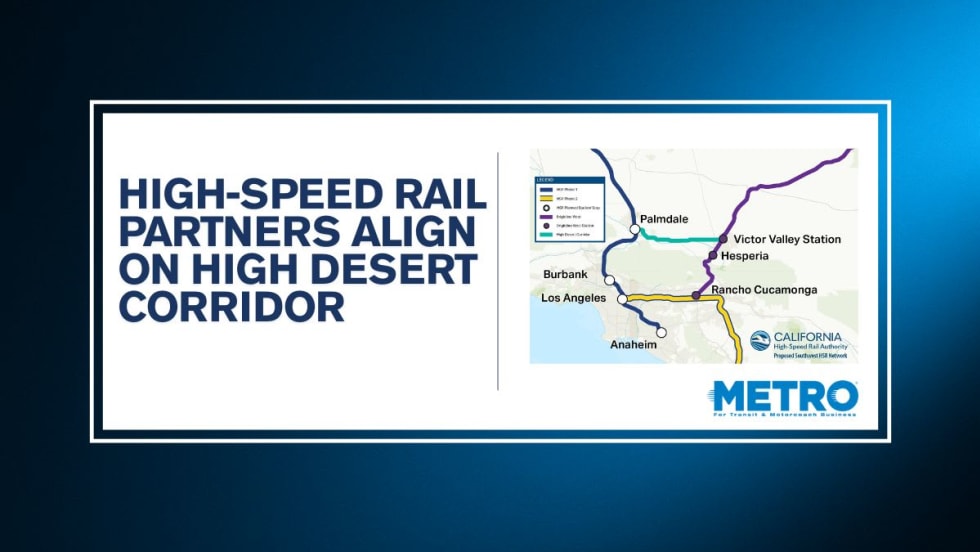
California High-Speed Rail Authority Signs MOU to Advance High Desert Corridor
The agreement deepens collaboration between the California High-Speed Rail Authority and the High Desert Corridor Joint Powers Agency, supporting design integration, cost savings, and faster delivery of a key Southern California rail link.
Read More →
Building the Next Generation of Transit Technology
In this edition of METROspectives, Luminator CEO Magnus Friberg discusses the company's transformation, the growing role of AI and software, and what's next for transit technology.
Read More →