
Loading data...
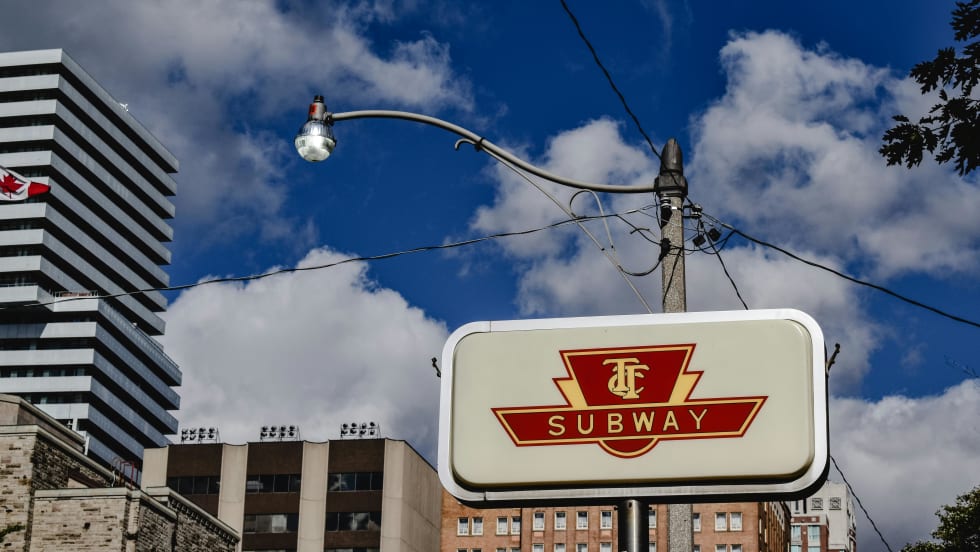
See how the TTC is testing a new wayfinding system at major subway stations while planning to introduce fare capping to make transit easier to navigate and more affordable for riders.
Read More →
In this Consultant Roundtable, Carmen C. Cham shares insights on how agencies can create spaces that are intuitive, connected and built for long-term impact.
Read More →
The design guides are intended to make it easier for riders to identify information and use transit by delivering clear, predictable, and consistent information across service areas and county lines.
Read More →
What was once a landscape of static signs has evolved into a responsive, immersive environment powered by real-time visual communication.
Read More →
The two challenge statements focus on improving the customer experience for non-English speaking riders and providing enhanced simulation technology to support rail operations training.
Read More →
Biz Briefs covers the latest supplier news in the motorcoach and public transit industries.
Read More →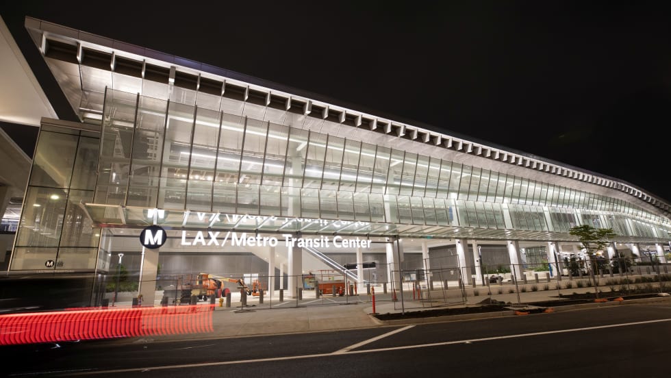
The opening represents the eighth completed project under Metro’s “Twenty-Eight by ’28” initiative — a strategic capital program aimed at modernizing transit infrastructure ahead of the 2028 Olympic and Paralympic Games.
Read More →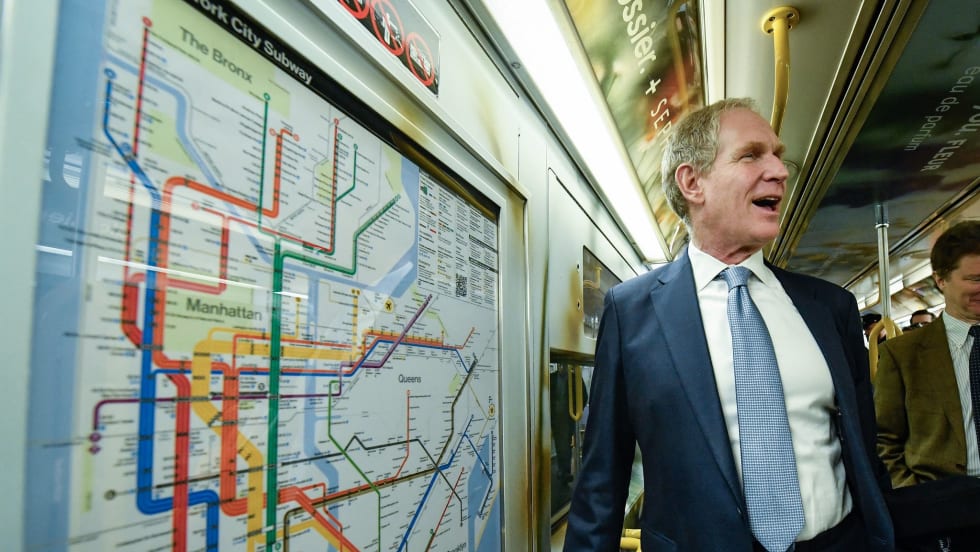
The new map, which draws from previous versions, simplifies riders' primary wayfinding asset while providing the most essential travel information in an easily readable, bright, bold, and orderly manner.
Read More →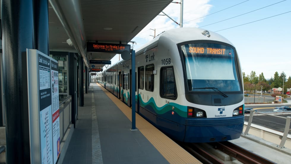
The GoodMaps app, which uses light detection and ranging mapping technology to create highly accurate 3D maps of large public spaces’ interiors, will be added to the Northgate, University of Washington, Capitol Hill, Columbia City, and SeaTac/Airport stations.
Read More →Developed based on user feedback, the app will display digital directions on top of real-world images and help point the way for users to easily get to their destination.
Read More →