
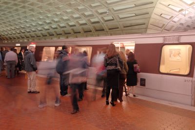
WMATA gives riders a virtual tour inside rail stations
The new tool is the first-of-its-kind for any rail system in the U.S. and provides riders with better accessibility to navigate the system.

Currently available for six stations — Union Station, Judiciary Square, Gallery Place, Metro Center, Archives and L'Enfant Plaza — WMATA expects to complete all 91 stations by the end of the year.
Larry Levine for WMATA

The Washington Metropolitan Area Transit Authority (WMATA) announced the launch of StationView, a new interactive feature that takes customers on a virtual tour inside Metrorail stations. The new tool is the first-of-its-kind for any rail system in the U.S. and provides riders with better accessibility to navigate the system.
StationView allows customers, using WMATA’s website or Google Maps, to virtually go from the street into the station. Take a ride down the escalator or elevator, go through the faregates and onto the mezzanine and platform just as if you were inside.
Currently available for six stations — Union Station, Judiciary Square, Gallery Place, Metro Center, Archives and L'Enfant Plaza — WMATA expects to complete all 91 stations by the end of the year.
"StationView is an example of how we are creating new, innovative ways to better serve our customers," said WMATA GM/CEO Paul J. Wiedefeld. "This feature will make it easier for visitors, occasional riders, and people with special mobility needs, to plan their trip on Metro."
The new feature uses Google's Street View technology, providing visual landmarks to better familiarize customers with the entrance location. Customers with limited mobility can locate elevator entrances and see how to navigate between the upper and lower levels at transfer stations with multiple lines.
StationView is simple to use from any computer or mobile device and is available on WMATA's station information page at wmata.com/stations or via Google map's street view feature. Select the station and entrance you want to use to begin the virtual tour.
More Rail
New York MTA Leverages Zoning Program to Advance Station Accessibility
Accessibility enhancements at Nevins St Station will be financed through a development agreement tied to the MTA's Zoning for Accessibility initiative.
Read More →
Virginia's $28.5B Transportation Plan Targets Transit and Rail
Approved by the Commonwealth Transportation Board, the program supports ongoing infrastructure projects while providing new investments in transit, state of good repair and transportation alternatives.
Read More →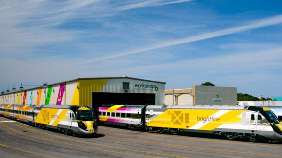
DOT: Brightline Corridor Incidents Fall 30% Following Federal Safety Upgrades
Safety improvements funded through a $25 million federal investment are credited with reducing trespassing and train-vehicle collisions along the Brightline Florida corridor.
Read More →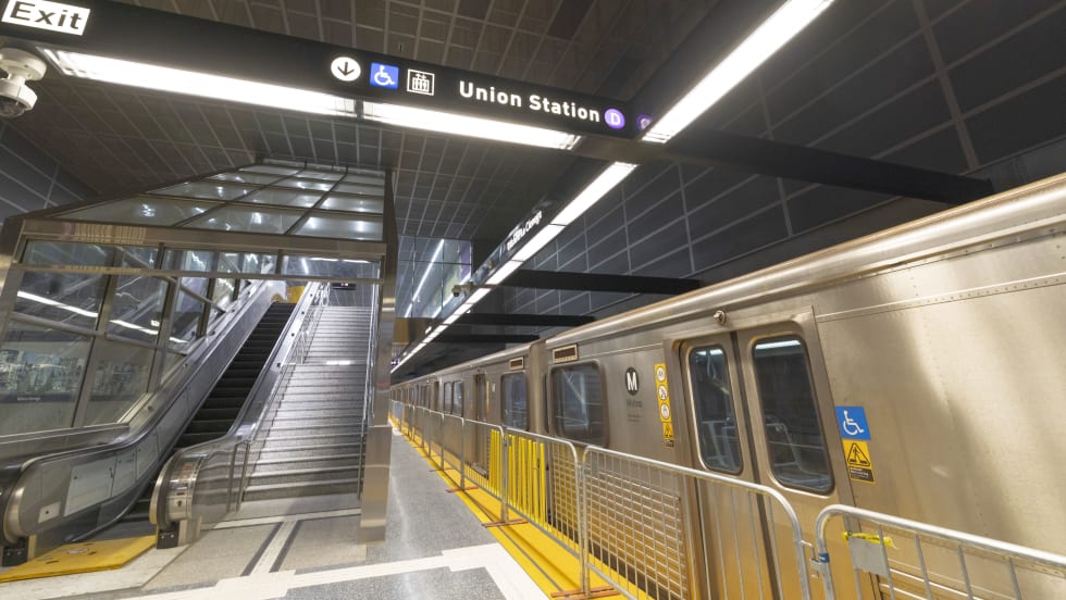
D Line Expansion Fuels Growth Across LA Metro's Rail System
Weekend rail ridership was especially strong, soaring 18% as riders embraced expanded access to jobs, entertainment, dining, and cultural destinations, said the agency. Total system ridership for May, including bus and rail, was 26,966,657.
Read More →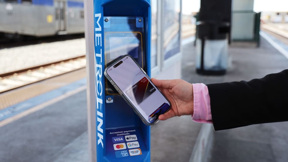
Southern California's Metrolink Debuts Contactless Fare Payment Pilot
Customers traveling between Redlands and Los Angeles can now tap their preferred payment method, including a credit or debit card, mobile wallet, or wearable device, at station validators before boarding and again while exiting.
Read More →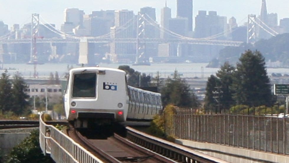
California's BART Approves FY27 Budget While Maintaining Service Levels
The budget covers July 1, 2026, through June 30, 2027, a period when pandemic emergency funds run out, the District faces a structural deficit of $375 million, and a regional transit funding measure may appear on the November ballot.
Read More →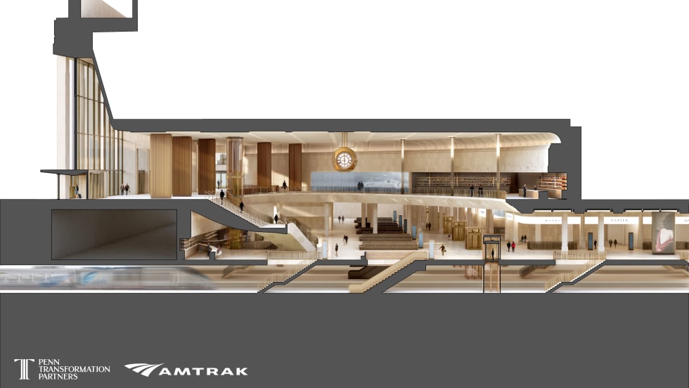
Penn Station Transformation Advances with Design Unveiling
The historic redesign will transform the busiest transit hub in the Western Hemisphere from the tracks to the street level, creating a more efficient, cleaner, and functional experience for more than 600,000 daily commuters and millions of visitors.
Read More →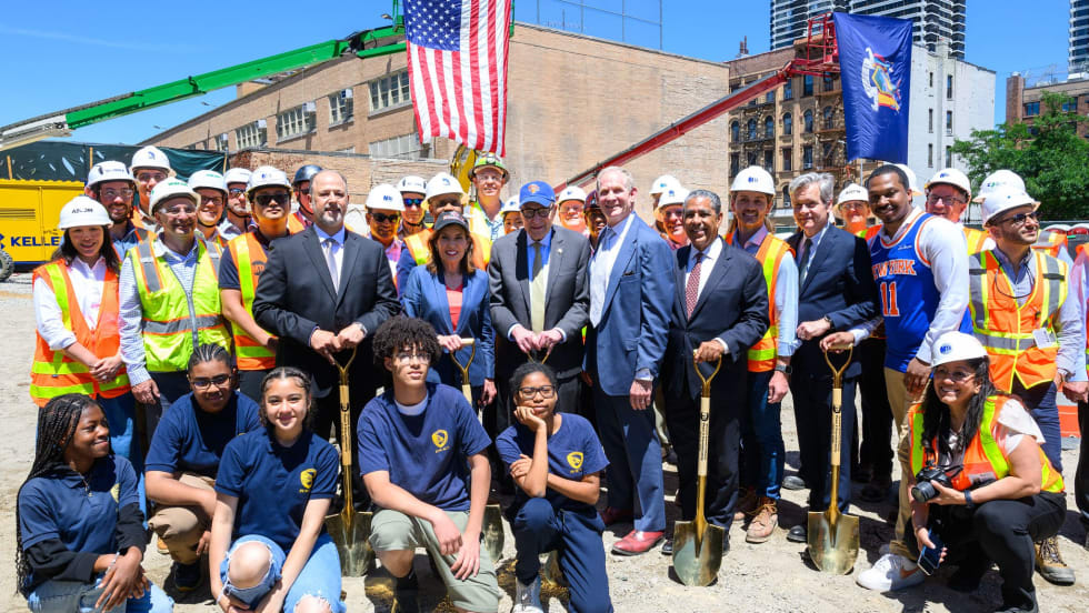
Second Avenue Subway Phase 2 Advances into Major Construction Stage
New York Governor Kathy Hochul joined leadership from the MTA, elected officials, and Harlem community leaders to break ground on the major construction stage of the transformative Second Avenue Subway Phase 2 project.
Read More →
The Invisible Infrastructure of Passenger Flow
What a seat reservation system on Austria’s Railjet trains reveals about the future of rider experience, and why U.S. agencies should pay attention.
Read More →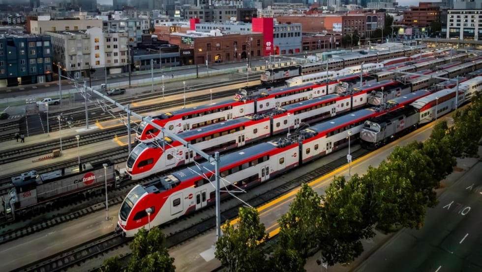
Caltrain Board Approves FY27 Budget, Endorses Efficiency Measures
The move ensures Caltrain service will continue operating as usual in the near term, but long-term financial challenges remain for the rail agency absent a new revenue source.
Read More →