
Loading data...
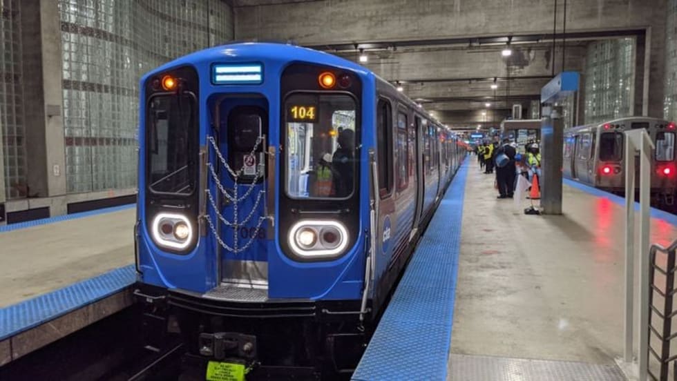
Through the studio, the agency kicks off a long-term effort to partner with private sector entities to explore leading-edge ideas to improve system safety, develop a new solution for asset management, and expand real-time info.
Read More →CMSs are making it possible to centrally control content, power, and emergency broadcast capabilities for virtually every type and size of digital screen from flight information displays and overhead banners to direct-view LED video walls and menu boards.
Read More →The new report gives an overview of measures that have been taken to mitigate delays and examines the effectiveness of those measures to help inform decision-making for future investments.
Read More →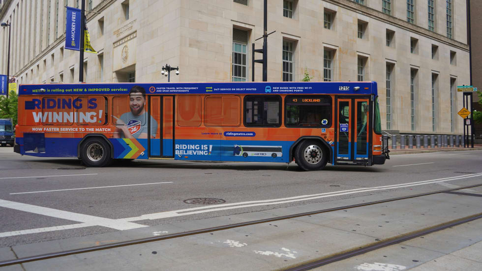
Real-time Location Systems are used to track the precise locations of any vital assets within a working environment.
Read More →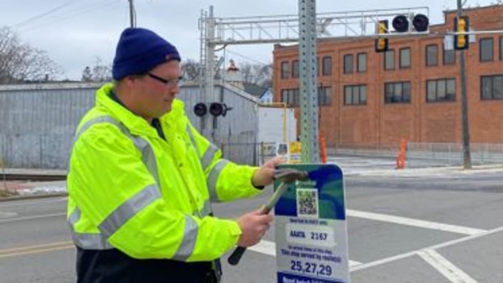
The new signs have started to be installed at bus stops and include the bus stop number and details on how to use the "Text My Bus” feature to find out when buses will arrive at your stop.
Read More →
The incorporation of “Occupancy Status” on the CapMetro application will assist riders by allowing them to choose a different trip if they believe a vehicle is too full for their individual comfort level.
Read More →
The project encompassed eight branded buses and a total of 36 stations with informatics, fiber connectivity between the corridor components, and traffic signal priority components along the corridor.
Read More →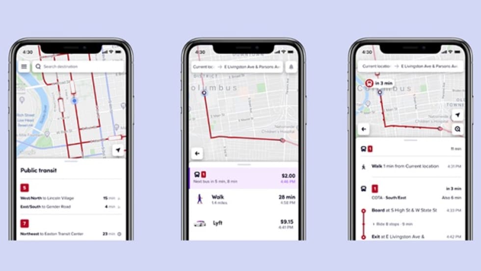
Lyft now shows riders upcoming departures for COTA’s fixed-route service, CoGo Bike Share, and shared rides.
Read More →The partnership will allow riders to see time, route, and price information for MTS, alongside rideshare and e-scooter options.
Read More →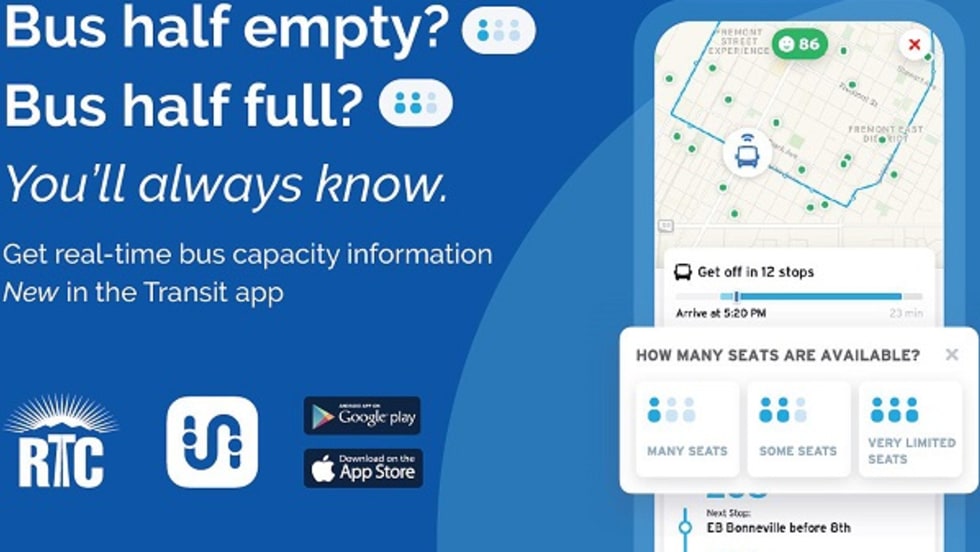
When users tap their route line in the Transit app, they see a map showing the live locations of transit vehicles along their route and current crowding levels.
Read More →