
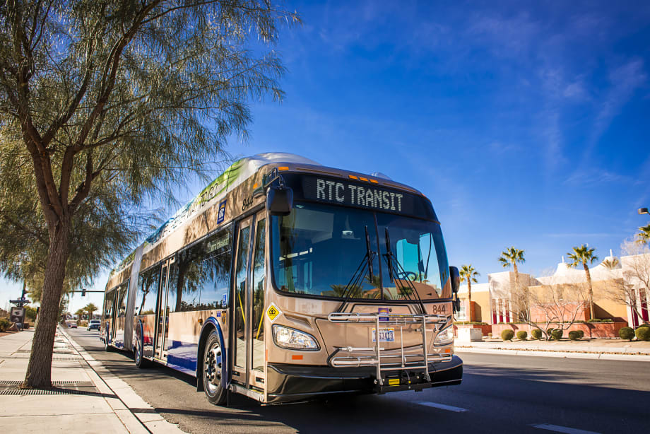
RTC of Southern Nevada Finds Initiatives Matching Findings of Heat Report
The “Urban Heat Island Mapping Campaign” study found that neighborhoods with the hottest temperatures are largely located in and around downtown Las Vegas, downtown North Las Vegas, the Historic Westside, and the eastern area of the valley.

In August 2022 and January 2023, the RTC implemented service changes to improve frequencies and schedules on several routes to reduce wait times for riders, a significant enhancement particularly during the summer months.
RTC of Southern Nevada
Results from the Heat Island Mapping campaign conducted by the Regional Transportation Commission of Southern Nevada (RTC), Get Outdoors Nevada, and more than 60 community volunteers support recent transit improvements, including more frequent service and innovative new shade structures in some of the hottest areas of the Nevada valley.
In August 2022 and January 2023, the RTC implemented service changes to improve frequencies and schedules on several routes to reduce wait times for riders, a significant enhancement particularly during the summer months. And just last month, the RTC began installing a new type of “slimline” transit shelter to help mitigate the effects of heat.
Slimline shelters, funded by a $4 million federal grant, include shading to protect waiting passengers from the sun and provide more lighting at night, creating greater visibility, and added security benefits. These shelters have a smaller footprint to accommodate stops that are less than five feet from the roadway while continuing to enable access under the Americans with Disabilities Act. More than 100 slimline shelters will be installed in the valley over the coming year, with more than 80% located in and around locations that comprise the hottest 30% of the valley. The RTC will also add more than 50 traditional transit shelters throughout the same areas.
“Safety and comfort for passengers and vulnerable road users are top priorities for the RTC, and the results we gathered from the heat mapping project will help us more responsibly plan for the future,” said RTC CEO M.J. Maynard. “By better understanding which neighborhoods experience higher temperatures, we can continue to work with local jurisdictions to create initiatives that mitigate heat impacts and reduce the risks of heat-related dangers across our community.”
The “Urban Heat Island Mapping Campaign” study found that neighborhoods with the hottest temperatures are largely located in and around downtown Las Vegas, downtown North Las Vegas, the Historic Westside, and the eastern area of the valley. Most of these locations feature large proportions of pavement and buildings but lack dense concentrations of trees. Their lower elevations also result in naturally warmer temperatures than higher elevations elsewhere in the region. While hotter temperatures are generally concentrated in the central and eastern valley, all areas of the region had “hotspots.”
Equipped with special sensors mounted to their cars, more than 30 volunteer teams drove pre-mapped routes throughout the valley last summer to collect data. The teams gathered 138,000 temperature and humidity measurements that were used to create detailed maps of the distribution of heat across the valley. The interactive maps, complete project summary, and more can be found on the RTC’s website.
Southern Nevada, which has one of the fastest-warming climates in the country, was one of 14 locations in the U.S. chosen to participate in the heat mapping campaign, which was supported by the National Oceanic and Atmospheric Administration (NOAA). Local project partners included the Clark County Department of Environment and Sustainability, UNLV School of Public Health, and Get Outdoors Nevada.
More Management
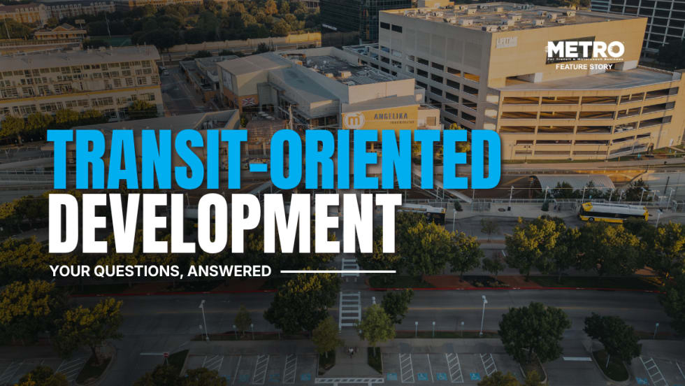
What Transit-Oriented Development Means for the Future of Public Transportation
Once viewed primarily as transit operators, agencies are now leveraging land, partnerships, and long-term planning to boost ridership, expand housing, and strengthen communities.
Read More →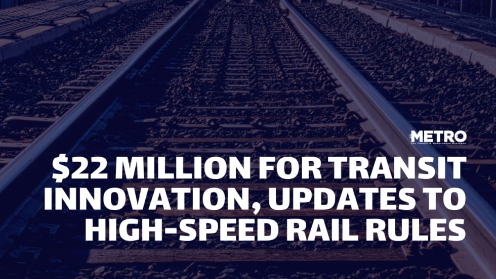
USDOT Announces $22 Million for Transit Innovation, Updates High-Speed Rail Rules
New federal transit funding will support safety, accessibility, and technology projects as updated rail regulations establish new noise standards for high-speed trains.
Read More →
Transportation Construction Coalition Unveils Infrastructure Case Studies Ahead of Federal Funding Deadline
The coalition noted the next surface transportation bill should provide sustained investment in highways and public transit to strengthen freight movement, improve safety, and support economic growth.
Read More →
People Movement: American Bus Association Extends Ferguson and More
METRO’s People Movement highlights the latest leadership changes, promotions, and personnel news across the public transit, motorcoach, and people mobility sectors.
Read More →
METRO Magazine Announces 2026 Innovative Solutions Awards Winners
Projects Recognized for Advancing Mobility Through Technology, Accessibility, Workforce Innovation, and Operational Excellence
Read More →
MBTA Rolls Out Pilot Programs to Cut Costs, Simplify Travel
Three new fare pilots — including unlimited two-hour transfers, reduced express bus fares, and free transit for eligible seniors — will launch this fall as Massachusetts extends popular commuter rail discounts through November.
Read More →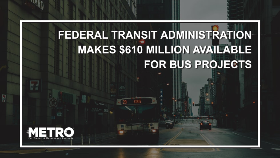
FTA Opens $610 Million Funding Opportunity for Bus Infrastructure Projects
The latest Notice of Funding Opportunity provides transit agencies with funding for bus facilities, fleet modernization, and low- and no-emission vehicles, with applications due September 21.
Read More →Biz Briefs: STV teams with Amtrak, Motorcoach Operators Boost Fleet and Land Contracts, and More
From manufacturers and suppliers to transit agencies and motorcoach operators, these updates offer a snapshot of the projects, partnerships and business moves driving the industry forward.
Read More →
Massachusetts Approves $530M to Strengthen MBTA Operations, Infrastructure
The funding package targets operating stability, capital improvements, and fare affordability, offering a model for agencies navigating long-term funding challenges.
Read More →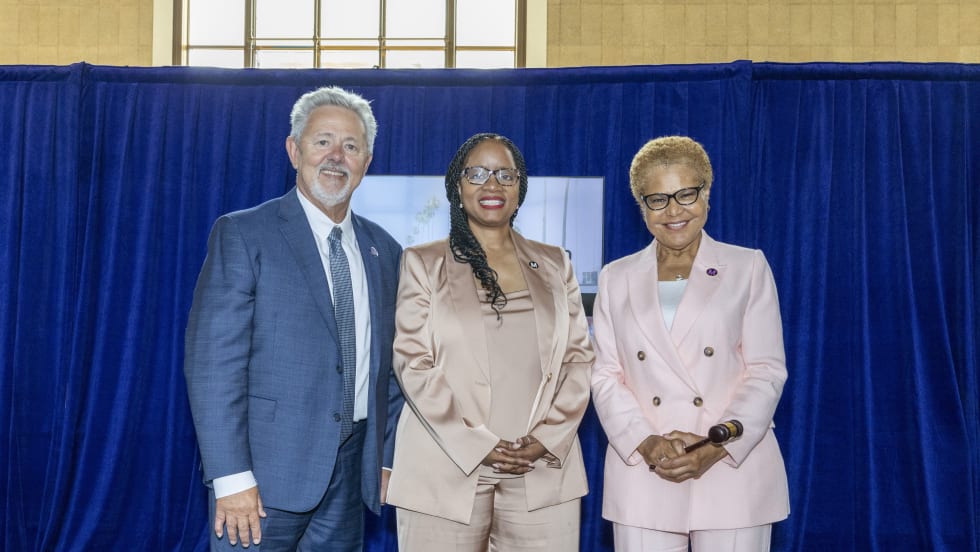
LA Metro Marks Banner Year, Sets Ambitious Goals for New Fiscal Year
Incoming LA Metro Board Chair and Los Angeles Mayor Karen Bass joined outgoing Board Chair Fernando Dutra and LA Metro CEO Stephanie Wiggins to review accomplishments from fiscal year 2026, which included the opening of new rail extensions, advancement of major transit projects, expanded safety programs, and new rider amenities.
Read More →