


Report: Vibrant downtowns linked to greater transit use
Between 2000-2010, metropolitan areas with more vibrant downtowns experienced less sprawl. San Francisco, Miami, and New York experienced sprawl rates of less than 1%, while Memphis, Tenn., Tucson, Ariz., and Phoenix had sprawl rates greater than 10%.

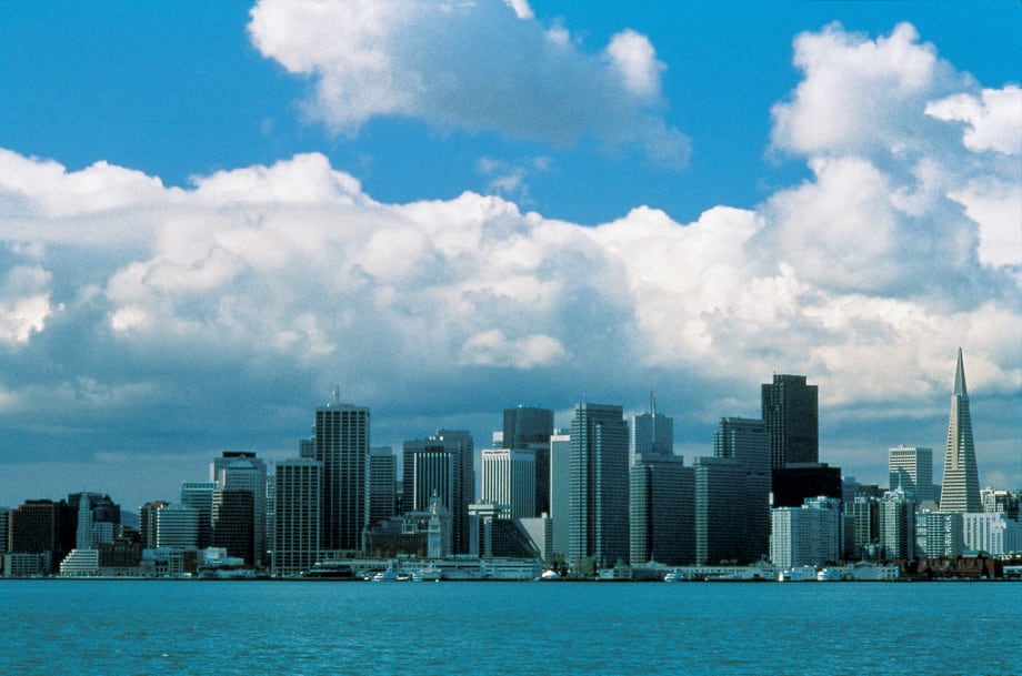
San Francisco (pictured), Miami, and New York experienced sprawl rates of less than 1%, while Memphis, Tenn., Tucson, Ariz., and Phoenix had sprawl rates greater than 10%.
Photo courtesy San Francisco Travel Association - David Goldberg.
Vibrant downtown areas are linked to greater public transit use and lower greenhouse gas (GHG) emissions from driving, according to a new report.
The peer-reviewed research report, "The Impact of Center City Economic and Cultural Vibrancy on Greenhouse Gas Emissions from Transportation," authored by Matthew J. Holian, PhD, and Matthew E. Kahn, PhD. and published by The Mineta Transportation Institute is available for free here.
"Many studies have shown that urban sprawl is associated with more driving and less public transit use," said Dr. Holian. "However, the existing literature provides little guidance for policy makers on how to reverse sprawl and reduce vehicle emissions. Our report suggests that a vibrant urban core may plausibly affect land use and transportation patterns. So, that leaves us with a key question. Can policy makers promote green cities by fostering a vibrant center core?"
Based on their findings, the authors believe this can happen if policy makers rethink current land-use regulations; continue investments to reduce center city crime; and increase local public school quality. The authors also recommend areas for further study.
This report addresses two primary goals. First, it generates new econometric results using several new micro and macro data sets to quantify how proximity to the city center affects a household's GHG production from driving, as well as its likelihood of using public transit. And second, it examines the effect of downtown vibrancy on transportation and land use. As a result, the authors are able to provide estimates of the size of GHG reductions that will result from changes in land-use and vibrancy.
The authors recognize that "vibrancy" can be a hard-to-define concept. However, they outline objective indicators that they believe correlate with what most people seek out in city centers in terms of employment, leisure, and other opportunities. They define "vibrancy" based on the downtown's share of residents who are college graduates, the crime rate, the number of cultural and consumer-oriented establishments, and the downtown share of a metropolitan area's jobs and population growth.
According to the report, data analysis from a large, national survey of U.S. households in 2009, supplemented with the vibrancy measures, uncovers new knowledge about economically and statistically significant relationships among vibrancy, emissions, and public transit use. Many of these relationships are verified through analyses of data from multiple sources.
Among the findings:
Between 2000-2010, metropolitan areas with more vibrant downtowns experienced less sprawl. San Francisco, Miami, and New York experienced sprawl rates of less than 1%, while Memphis, Tenn., Tucson, Ariz., and Phoenix had sprawl rates greater than 10%.
If downtown is a place where people want to be, then they will live closer to it. Therefore, one effect of vibrancy is to influence land-use patterns. In turn, land-use patterns influence driving and public transit use.
By encouraging sprawl, federal home ownership policies have unintentionally increased greenhouse gas emissions.
When established cities block new construction, it forces people to seek housing in far-flung suburbs, where their carbon footprint will be greater.
The report is divided into five sections that address urban growth in the 2000s; household GHG production from driving; a macro-level study of GHG production; household public transit use; and a macro-level study of public transit use.
More Bus
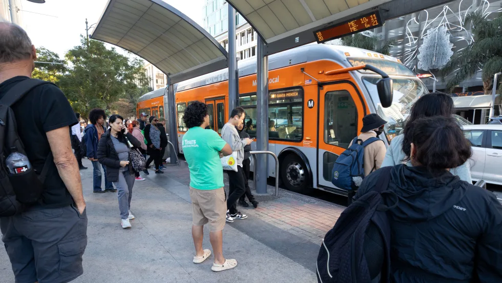
LA Metro September Ridership Climbs 3.9%, Led by Rail Growth
The agency recorded more than 27.2 million boardings, with rail ridership increasing 12.4% year over year and the D Line posting the largest gains.
Read More →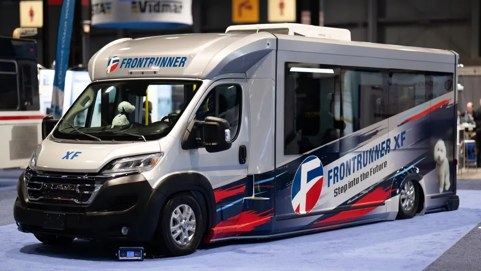
Frontrunner Bus Group Introduces XF Low-Floor Bus with Enhanced Accessibility
The new mid-sized bus features a full flat-floor design, eight-inch curbside step-in height, and zero-entry rear ramp to improve passenger access and operational flexibility.
Read More →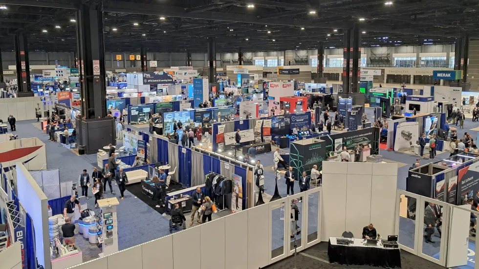
Scenes from APTA TRANSform & EXPO 2026
Transit leaders, manufacturers, and industry professionals gathered in Chicago to explore new technologies, share ideas, and discuss the future of public transportation.
Read More →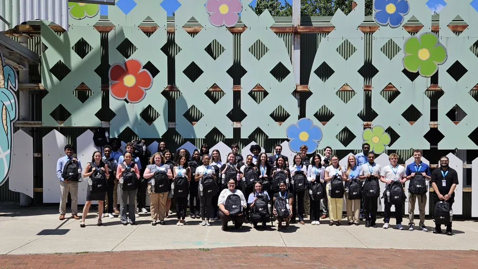
More Than a Summer Job: Building the Next Generation of Transit Talent
The Delaware River Port Authority and PATCO have transformed their internship program into a hands-on professional development experience that introduces students to the breadth of transportation careers — and creates a pipeline for future employees.
Read More →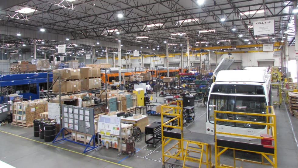
LA Metro Board Awards 220 Battery-Electric Bus Contract to ENC
The contract, which is the largest base award of battery-electric buses by a U.S. transit agency, will be built in Southern California, sustaining good jobs as LA prepares to welcome the world in 2028
Read More →
Public Transit Conference Returning to GFX in 2027, Call for Papers Now Open
The Call for Papers is now open, allowing transit agency professionals and industry experts to help shape the PTC educational program by submitting session ideas for consideration.
Read More →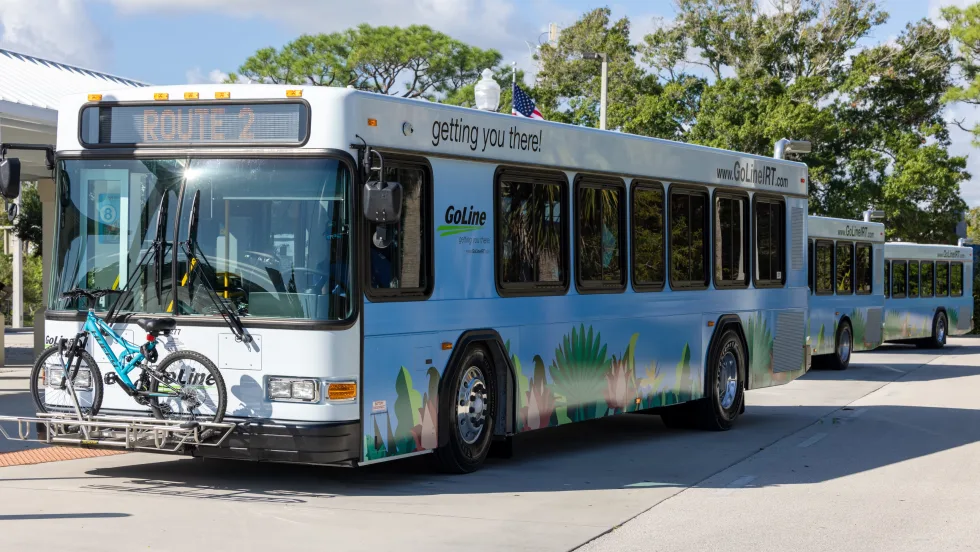
Indian River Transit’s Community-Focused Approach Earns National Recognition
Named APTA’s 2026 Outstanding Public Transportation System in its size category, Florida’s Indian River County transit system continues to grow ridership through fare-free service and a focus on evolving community needs.
Read More →
ENC Lands MATA Contract and More in Biz Briefs
In this edition of Biz Briefs, we spotlight the latest developments shaping the future of mobility.
Read More →
From Surviving to Thriving: Building Stronger Transportation Organizations
Bus Business Consultants founder Brian Dickson shares lessons on leadership, organizational health, and creating options for long-term success in a changing transportation industry.
Read More →
Everett Transit, Community Transit Outline Consolidation Agreement
The proposed agreement calls for a 50% increase in bus service in Everett, a new microtransit zone, continued paratransit service, and the transfer of Everett Transit operations to Community Transit.
Read More →