News
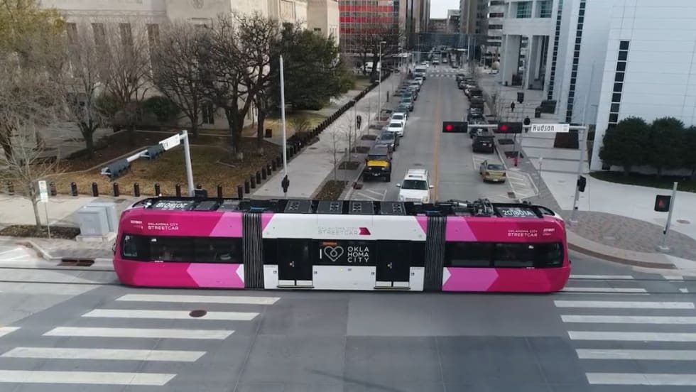
OKC Streetcar Makes Zero-Fare Service Permanent
Ridership increased an average of 71% compared with the same period a year earlier during the fare-free pilot.
Read More →

 MENU
MENU SEARCH
Ridership increased an average of 71% compared with the same period a year earlier during the fare-free pilot.
Read More →
Edward W. Oliphant, who currently serves as CFO of the MTA and RTA, replaces Paul J. Ballard who will be heading up the Fort Worth Transportation Authority as president/CEO.
Read More →
While often being used to provide driver and passenger safety, solutions can offer even more capabilities, such as improving headways, with the film itself also able to be used as a training tool.
Read More →Hopefully, as the trust funds are going bankrupt, Congress will address not only that issue but also answer the call for a long-term policy on at least coping with the risks of climate change.
Read More →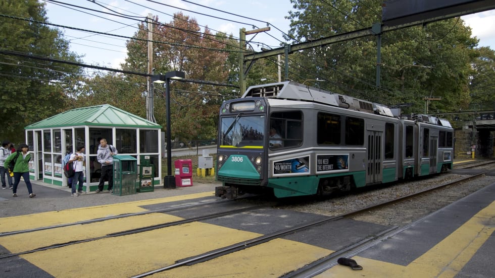
The Green Line Extension will include seven new stations, the addition of 4.5 miles of light rail track and the development of two facilities, with emphasis placed on developing and implementing sustainable solutions wherever possible.
Read More →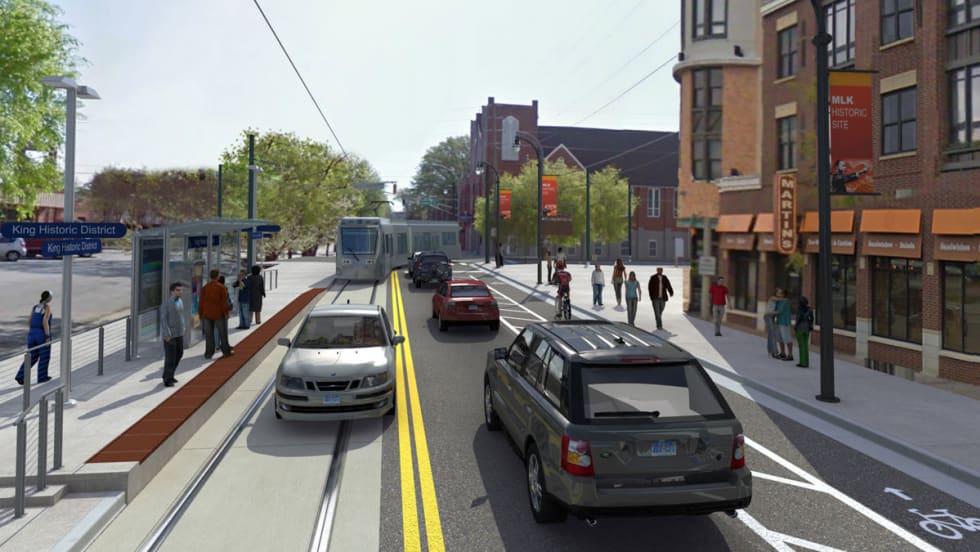
The 2.7-mile Atlanta Streetcar will provide improved connectivity between existing MARTA heavy rail, express bus services, planned light rail and locations not well-served by transit today.
Read More →
A small group of UTA riders who are part of Google’s Glass Explorer Program are testing OnTime for Glass, which provides customized real-time arrival information.
Read More →Will provide a variety of payment options: transit-only smart card, contactless bank card and a smartphone with Near Field Communications. The transit agency expects the new system to begin serving the Portland metropolitan area in 2017.
Read More →If Alex Clifford is offered the position of CEO/GM at the Santa Cruz Metropolitan Transit District and accepts it, Metra estimates that its total savings to the agency from his severance agreement could top $200,000.
Read More →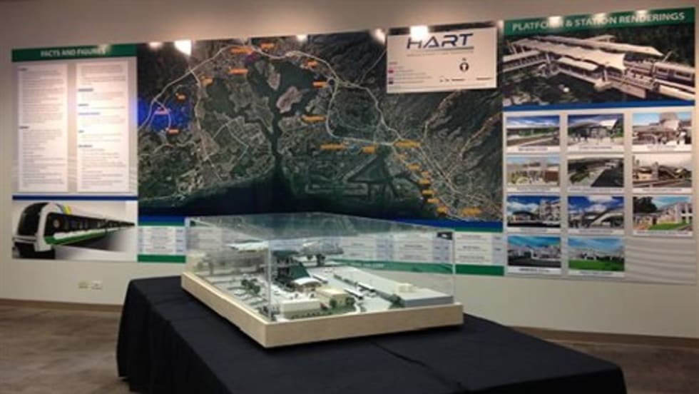
The permanent display will be updated regularly and features an aerial map of the 20‐mile route and 21 rail stations, the latest renderings of rail stations along the first 10 miles of the route, and facts and figures on the rail system.
Read More →The transit system created the app in response to requests from riders for a safe, silent and discreet way to communicate with BART when they are on a train or in a station.
Read More →