


N.Y. MTA ‘Weekender’ app honored for design
Recognized in The Appy Awards, a nationwide app competition and an official event at SXSW. It won an award in the “Mapping/Navigation” category.

The New York Metropolitan Transportation Authority’s (MTA) Weekender app, which helps subway customers avoid headaches caused by weekend track work, has been recognized for excellence in design and functionality in The Appy Awards, a nationwide app competition.
The competition is organized by MediaPost, which focuses on creativity and excellence in design of apps for mobile devices, social media, or those that are web-based. As an official event of SXSW, the annual AppyAwards honor the best mobile, social and web apps in a diverse range of categories.
MTA’s app won an Appy Award in the “Mapping/Navigation” category.
“Weekend track work is a fact of life because we must take tracks out of service to keep them in a state of good repair, but if you use the Weekender app before you head out, you can avoid the worst of the impacts by being prepared or working around them,” said Paul J. Fleuranges, the MTA’s Senior Director of Corporate and Internal Communications. “We are pleased that our efforts have been recognized at the national level.”
The app is available for Android and iOS operating systems. More than 100,000 customers have downloaded the app to date.
Key features of the Weekender App include:
Service by Line: Click on a subway line symbol to get a line diagram showing an overview of the line's service changes, as well as text summaries of the changes.
Service by Borough: Click on a borough for text-based information about any service changes impacting a borough.
Service by Station: Select a station for details on any service changes impacting that station, or click on the map to zoom to a detailed area.
The map-like diagram that is the foundation for the Weekender app was created by the MTA following initial design concepts from Vignelli Associates. The diagram is designed to illustrate service diversions at a glance. It is inspired by the 1972 New York City subway map designed by world renowned map maker and designer Massimo Vignelli, and was recently updated by Vignelli, Beatriz Cifuentes and Yoshiki Waterhouse.
As with the web-based version, The Weekender for Mobile also provides the popular Neighborhood Maps that are posted inside subway stations. These maps show the precise locations of subway station entrances within the street grid, along with locations of popular area destinations.
While more than 100 apps have been developed by private app developers using open data released by the MTA, the Weekender is one of only two apps to be developed by the MTA itself. The other app is MTA Subway Time, which provides real-time arrival estimates for the numbered subway lines.
The MTA has previously developed a number of innovative web-based digital tools that increase customers’ access to real-time service-related information: MTA Bus Time, Metro-North Train Time, LIRR Train Time, MTA Drive Time, and Trip Planner+.
More Rail
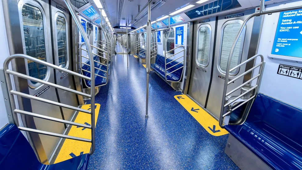
New York MTA Advances Final Contract for Second Avenue Subway Expansion
Contract Four is the largest in the Second Avenue Subway Phase 2 project and includes construction of station infrastructure, tracks, and signals for the subway expansion, MTA officials said. Work on Contract Four will begin in 2027.
Read More →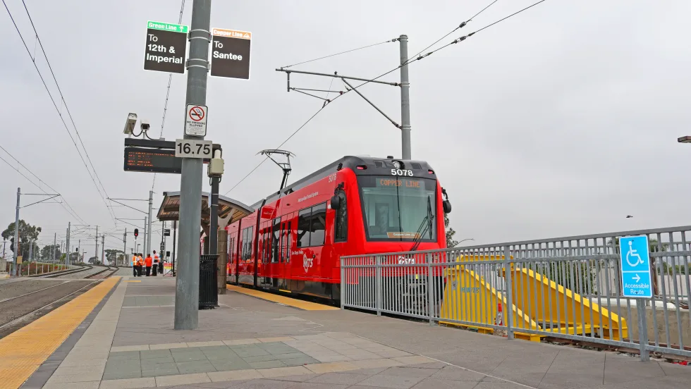
San Diego MTS Breaks Monthly Trolley Ridership Record
Agency officials said July’s ridership indicates MTS’s continued recovery from the pandemic.
Read More →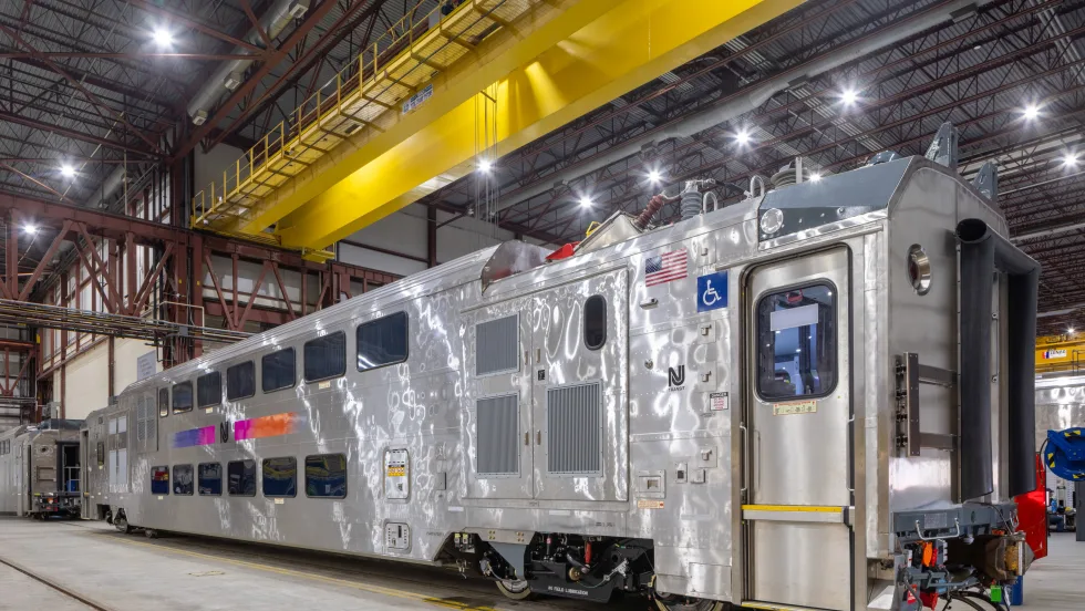
Report Examines NJ TRANSIT Reliability, Funding Challenges
The Garden State Initiative analysis examines the roles of Amtrak infrastructure, fleet management, and agency operations while recommending a more performance-based approach to improving reliability.
Read More →
Stadler, CapMetro Sign Long-Term Rail Fleet Support Agreement
Beginning in 2027, Stadler will provide on-site technical expertise, spare parts support, training, and obsolescence management to help extend the reliability and longevity of CapMetro’s GTW fleet.
Read More →
Biz Briefs: Alstom Lands Canadian Contract, LYT to Supply California TSP, and More
In METRO's latest installment, we take a look at recent news from Complete Coach Works, Beep, FlixBus, and more partnerships making headlines across the transportation sector.
Read More →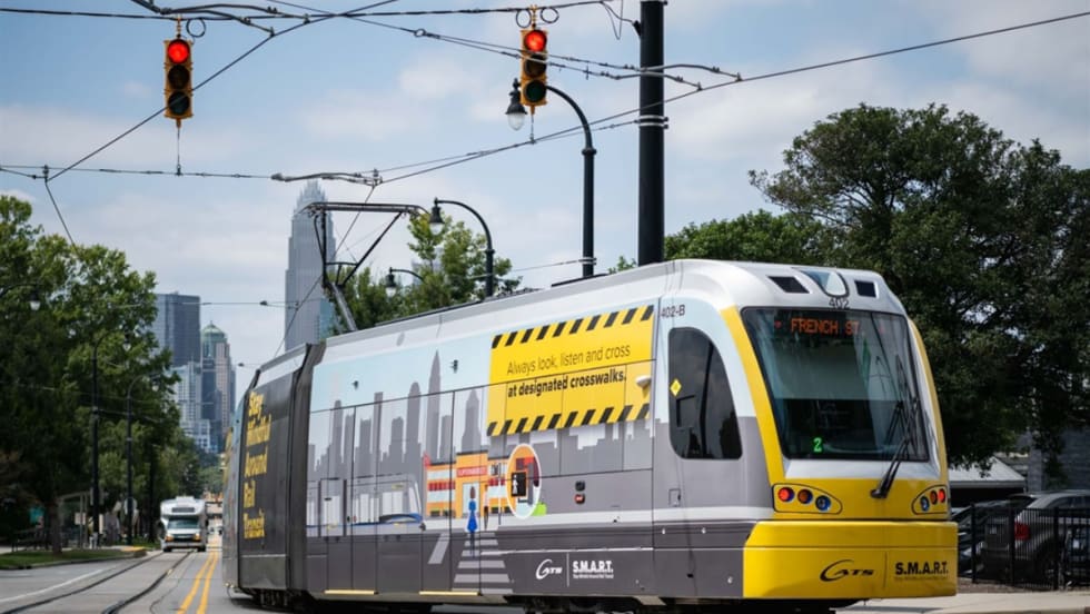
CATS Gold Line Marks 5 Years of Service, 2.8M Passenger Trips
With a six-mile expansion planned, the Charlotte streetcar is positioned to connect more neighborhoods and major transit hubs across the region.
Read More →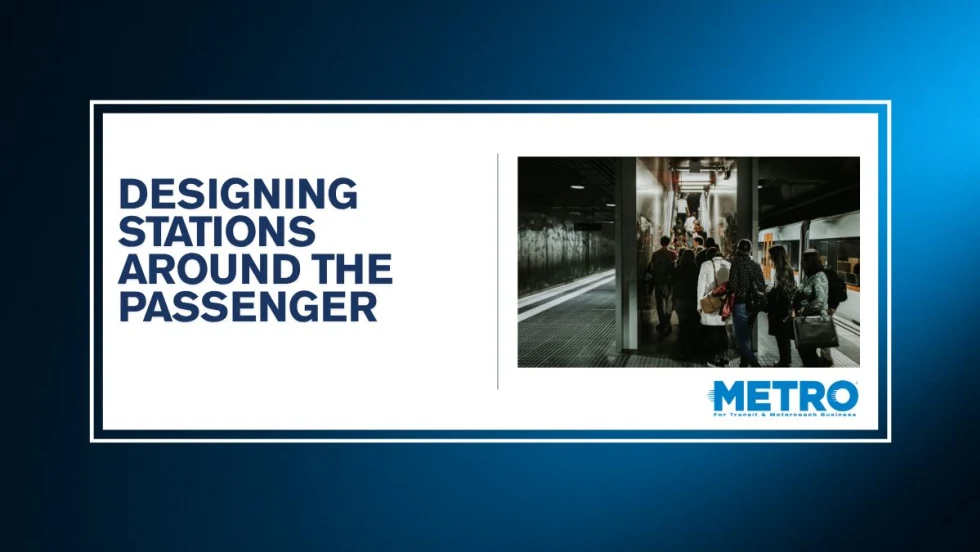
Why Simulating Pedestrian Movement Has Become Essential for Modern Rail Stations
Pedestrian microsimulation is helping rail planners identify bottlenecks, test station designs, and prepare complex transit hubs for growing passenger volumes.
Read More →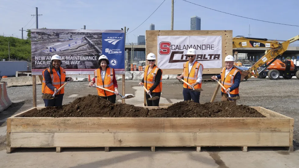
Amtrak Begins Major Construction at New York’s Sunnyside Yard
The new maintenance facility will support Amtrak’s Airo trainsets while improving maintenance efficiency and turnaround times in New York.
Read More →
Chicago Leaders Unveil Plans for O’Hare Airport Express Train
The privately developed project would offer a 15-minute trip between downtown and O’Hare’s Terminal 2, with trains operating every 15 minutes on a dedicated track. The service would use battery-electric trains and three existing freight rail rights-of-way.
Read More →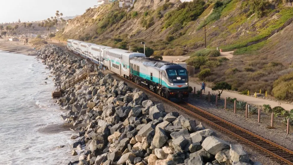
OCTA Maps Out 30-Year Strategy to Protect Coastal Rail Corridor
The draft feasibility report identifies strategies to protect the coastal rail line for decades as the agency continues near-term stabilization and sand placement efforts.
Read More →