


SANDAG relaunches custom map program
Staff will continue to improve the application in the coming months, including adding employment lands layer and a zoom to scale feature.

The San Diego Association of Governments (SANDAG) relaunched its Regional Development Information (REDI) program following an extensive technological retooling.
REDI is an interactive program developed by SANDAG in cooperation with San Diego Geographic Information Source. Users choose a base map (plain, terrain or photographic), then overlay it with thematic information, such as land use or public ownership, as well as reference information, including parcel boundaries, traffic volumes, watersheds and many others.
First created in 1998, REDI was taken down in July of 2007. SANDAG said its staff will continue to improve the application in the coming months, including adding employment lands layer and a feature to zoom to a scale specified by the user, as well as possibly more detailed demographics data.
More Paratransit

Driving Smarter Paratransit
John Hanlon shares how AlphaRoute is leveraging AI-powered technology to help paratransit providers optimize operations, support frontline staff, and enhance the rider experience.
Read More →
METRO Magazine Announces 2026 Innovative Solutions Awards Winners
Projects Recognized for Advancing Mobility Through Technology, Accessibility, Workforce Innovation, and Operational Excellence
Read More →
Biz Briefs: STV teams with Amtrak, Motorcoach Operators Boost Fleet and Land Contracts, and More
From manufacturers and suppliers to transit agencies and motorcoach operators, these updates offer a snapshot of the projects, partnerships and business moves driving the industry forward.
Read More →
Biz Briefs: Masabi Teams with St. Louis Metro and More
In METRO's latest installment, we take a look at recent news from Transdev, Hitachi, and more partnerships making headlines across the transportation sector.
Read More →
New York MTA Leverages Zoning Program to Advance Station Accessibility
Accessibility enhancements at Nevins St Station will be financed through a development agreement tied to the MTA's Zoning for Accessibility initiative.
Read More →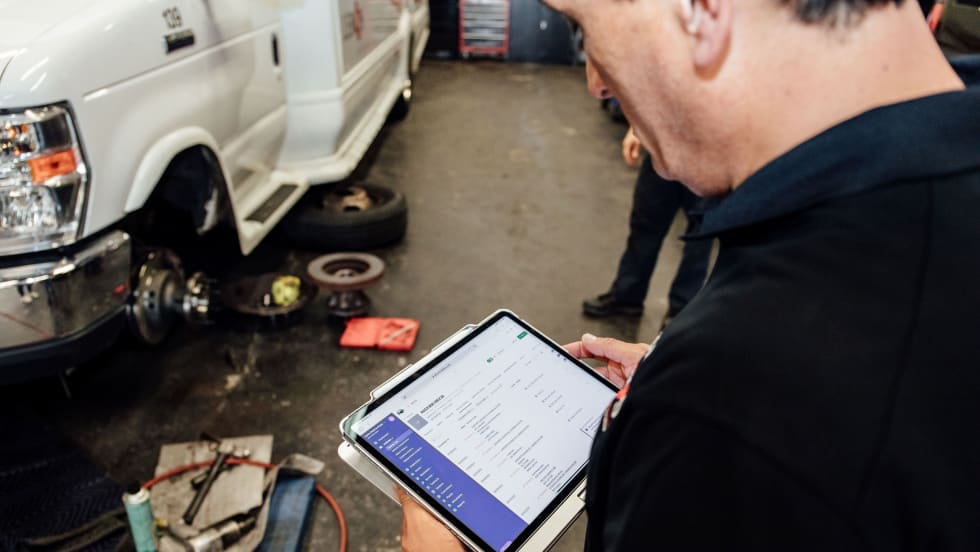
Reinventing Fleet Maintenance with Real-time Visibility and AI
Transit leaders need to know what needs fixing, where to look, who is responsible, when work is completed, and what it costs without having to chase information across disconnected systems.
Read More →
SamTrans Sets Priorities for Potential Connect Bay Area Revenue
The board-approved framework allocates future funding to maintaining service, rider improvements, equity initiatives, and infrastructure repairs.
Read More →
Chicago's NITA Act Moves Into Next Phase as Service Improvements Begin
Rider-focused improvements will begin rolling out across the system immediately as CTA, Metra, and Pace increase service this summer in the six-county region.
Read More →
2026 METRO Buyer’s Guide & Directory
Searching for the right vehicles, technology, equipment, or services for your public transit or motorcoach operation? This industry guide brings together manufacturers and suppliers from across the transportation market — all in one place. Download it to connect with the companies that help agencies and operators improve mobility, enhance operations, and move their organizations forward.
Read More →
Rays the Mark Foundation to Honor CDTA’s Emily DeVito at October Fundraiser
Event at Chicago-area Ravisloe Country Club will support DeVito, a transit employee and mother of twins battling kidney failure and awaiting a transplant.
Read More →