

Miss This? NJ TRANSIT Unveils New Electric Bus Charging Infrastructure
NJ Transit Updates Application for Transportation, Land Use Planning
The application now features four new tools.
August 17, 2022

Users can select and visualize various options in the Transit Friendly Data Application based on their specific needs.
Photo: NJ Transit
2 min to read
NJ Transit, in conjunction with Alan M. Voorhees Transportation Center and the Office of Research Analytics at Rutgers University, has updated the NJ Transit Friendly Data Application.
The application is a digital tool that allows users to map, report, and download a range of land use, travel, public transit, demographic, and real estate development data throughout the NJ Transit network.
“This latest technology demonstrates how statewide transportation investments can enhance the environment, create strong community centers, and encourage private investment in the local economy,” said Diane Gutierrez-Scaccetti, New Jersey Department of Transportation commissioner. “This is a one-stop resource for transit-friendly planning and development.”
The application now features four new tools: Transit-Oriented Development (TOD) Opportunity; Corridor Planning; Total Water Level; and Social Justice.
“NJ Transit is proud to partner once again with Rutgers University to develop this innovative new technology tool, providing municipalities, real estate developers, elected officials, and others with a wealth of information to aid in their research, planning, and development needs,” said Kevin S. Corbett, NJ Transit president/CEO. “This information, now easy to access and cross-reference, will bolster statewide efforts to create Transit-Oriented Development, helping to improve New Jersey’s environment and quality of life.”
Users can select and visualize various options in the Transit Friendly Data Application based on their specific needs. The app features layers for demographics, environmental hazards, flooding scenarios, rehabilitation/redevelopment areas, and travel modes. The transportation layer also includes data on all four NJ Transit modes: Access Link, bus, light rail, and rail.
The application is meant to be a resource for anyone interested in land-use and transportation analyses.
More Technology
Sponsored•August 2, 2026
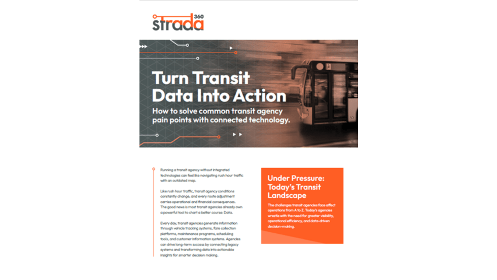
Turn Transit Data Into Action
Discover how leading agencies are using connected technology to gain real-time visibility across operations, improve service reliability, and reduce disruptions.
Read More →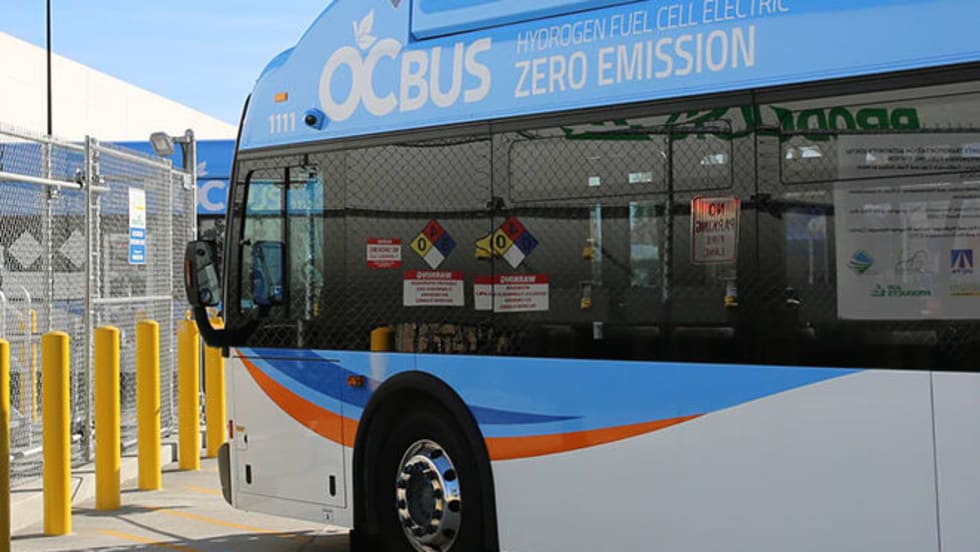
Biz Briefs: OCTA Taps Clean Energy for Hydrogen Station, Stadler to Supply Via Rail Vehicles, and More
From manufacturers and suppliers to transit agencies and motorcoach operators, these updates offer a snapshot of the projects, partnerships and business moves driving the industry forward.
Read More →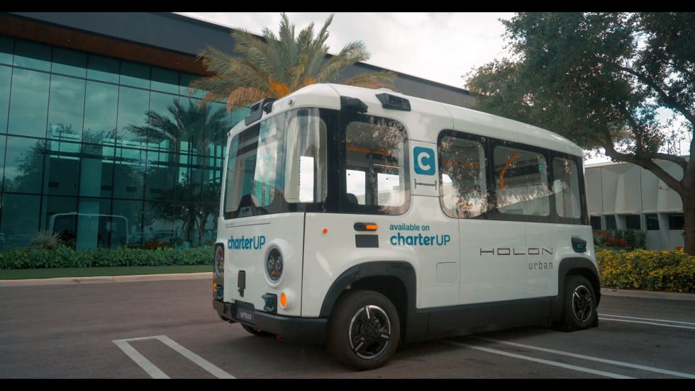
CharterUP Expands Into New Mobility and Autonomous Transportation
Vice President of New Mobility Stephen Joos discusses how CharterUP is leveraging its nationwide transportation network, technology platform, and autonomous vehicle partnerships to expand into workforce mobility, campus shuttles, and transit solutions.
Read More →
METRO Magazine Announces 2026 Innovative Solutions Awards Winners
Projects Recognized for Advancing Mobility Through Technology, Accessibility, Workforce Innovation, and Operational Excellence
Read More →
Cummins Introduces Phased Model Year 2027 Launch Strategy
According to officials, the approach is designed to maintain regulatory compliance, support customer production schedules, and provide additional time to ramp production in a disciplined manner that helps ensure a successful transition for the industry.
Read More →Biz Briefs: STV teams with Amtrak, Motorcoach Operators Boost Fleet and Land Contracts, and More
From manufacturers and suppliers to transit agencies and motorcoach operators, these updates offer a snapshot of the projects, partnerships and business moves driving the industry forward.
Read More →
DART Taps Nathaniel P. Ford Sr. as Next President/CEO
Since 2012, Ford has served as the CEO of the Jacksonville Transportation Authority
Read More →
AC Transit’s Cecil Blandon on Building the Next Generation of Transit Maintenance Leaders
The agency’s maintenance chief discusses leadership, workforce development, zero-emission technology, and preparing technicians for the future of public transportation.
Read More →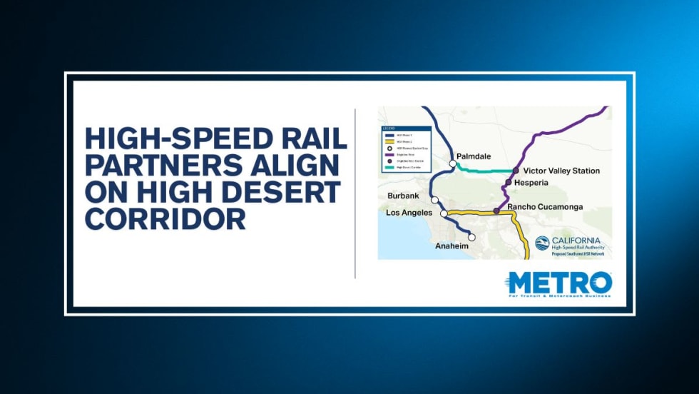
California High-Speed Rail Authority Signs MOU to Advance High Desert Corridor
The agreement deepens collaboration between the California High-Speed Rail Authority and the High Desert Corridor Joint Powers Agency, supporting design integration, cost savings, and faster delivery of a key Southern California rail link.
Read More →
Building the Next Generation of Transit Technology
In this edition of METROspectives, Luminator CEO Magnus Friberg discusses the company's transformation, the growing role of AI and software, and what's next for transit technology.
Read More →