
California Bay Area Transit Agencies Adopt Standard Sign Designs
The design guides are intended to make it easier for riders to identify information and use transit by delivering clear, predictable, and consistent information across service areas and county lines.

The RNM Council includes top executives from MTC, the San Francisco Municipal Transportation Agency, BART, AC Transit, the Santa Clara Valley Transportation Authority, Caltrain, SamTrans, and the Golden Gate Bridge, Highway, and Transportation District, as well as three GMs representing all other transit agencies serving Bay Area communities.
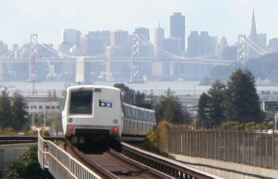
BART
- The RNM Council approved transit wayfinding design guides to create a uniform look for signs and maps throughout the Bay Area.
- These guides aim to deliver clear and consistent transit information across different service areas and counties.
- The design guides define a new transit network identity and provide guidelines for near-term implementation at transit stops.
*Summarized by AI
Northern California’s Regional Network Management (RNM) Council approved the first set of transit wayfinding design guides to help Bay Area transit agencies establish a uniform look for signs and maps, from individual bus stops across the region to major hubs where multiple systems connect.
The design guides are intended to make it easier for riders to identify information and use transit by delivering clear, predictable, and consistent information across service areas and county lines.
A New Network Identity
The action by the RNM Council, which is composed of the executive director of the Metropolitan Transportation Commission and GM-level representatives of Bay Area transit agencies, finalizes the region’s new transit network identity and provides transit stop sign guidelines that MTC and agencies can use in the near term. In contrast, guidance for all transit stops and stations is refined and finalized.
The Regional Network Identity Design Guide defines a consistent “look and feel” for the Bay Area transit network, finalizing designs first introduced in January 2024 and used throughout the test locations at El Cerrito del Norte BART station and the Santa Rosa Transit Mall and Santa Rosa downtown SMART station.
The Network Identity Design Guide includes specifications for the colors and symbols to be used, as well as the hierarchy for presenting information across all transit wayfinding materials.
The Transit Stop Signage Design Guide provides guidance for designing, installing, and maintaining transit stops — typically bus stops — using a new regional design that works across rural, suburban, and urban environments while accommodating stops with many routes, special services, or multiple transit agencies.
Consistent signage at the Bay Area’s approximately 21,000 transit stops is expected to improve legibility for riders and reduce long-term design, fabrication, and maintenance costs for transit agencies.
“The Regional Mapping and Wayfinding Project is a standout example of regional cooperation,” said Bob Powers, chair of the Regional Network Management (RNM) Council, which guides regionwide transit policy by bringing together executives of Bay Area transit agencies and MTC. “Putting customers’ interests first is the cornerstone of our Transit Transformation Action Plan to increase ridership by making transit faster, cleaner, more comfortable, more convenient, and easier to navigate.”
What’s Next?
MTC will use these two design guides for future pilot or test locations around the region.
SFMTA has already used the designs to make signage improvements at the Castro Muni Metro station, and other agencies with time-sensitive sign replacement projects are also considering using the new guidelines in the near term, with assistance from MTC as needed. These prospective projects include:
- BART: Installing bus bay numbers at transit hubs.
- County Connection with WestCAT and Tri Delta Transit: Testing new sign designs at three-agency shared stops in Martinez.
- SolTrans and WestCAT: Installing new signage for 2026 service restructures.
An update to the comprehensive regional transit connections map, which enables riders to discover key destinations reachable on the Bay Area's extensive bus, rail, and ferry network, was also released.
The RNM Council includes top executives from MTC, the San Francisco Municipal Transportation Agency, BART, AC Transit, the Santa Clara Valley Transportation Authority (VTA), Caltrain, SamTrans, and the Golden Gate Bridge, Highway, and Transportation District, as well as three GMs representing all other transit agencies serving Bay Area communities.
MTC is the regional transportation planning, financing, and coordinating agency for the nine-county San Francisco Bay Area.
Quick Answers
The purpose of the design guides is to help Bay Area transit agencies establish a uniform look for signs and maps, making it easier for riders to identify information and use transit effectively across the region.
*Summarized by AI
More Management
What Transit-Oriented Development Means for the Future of Public Transportation
Once viewed primarily as transit operators, agencies are now leveraging land, partnerships, and long-term planning to boost ridership, expand housing, and strengthen communities.
Read More →
USDOT Announces $22 Million for Transit Innovation, Updates High-Speed Rail Rules
New federal transit funding will support safety, accessibility, and technology projects as updated rail regulations establish new noise standards for high-speed trains.
Read More →
Transportation Construction Coalition Unveils Infrastructure Case Studies Ahead of Federal Funding Deadline
The coalition noted the next surface transportation bill should provide sustained investment in highways and public transit to strengthen freight movement, improve safety, and support economic growth.
Read More →
People Movement: American Bus Association Extends Ferguson and More
METRO’s People Movement highlights the latest leadership changes, promotions, and personnel news across the public transit, motorcoach, and people mobility sectors.
Read More →
METRO Magazine Announces 2026 Innovative Solutions Awards Winners
Projects Recognized for Advancing Mobility Through Technology, Accessibility, Workforce Innovation, and Operational Excellence
Read More →
MBTA Rolls Out Pilot Programs to Cut Costs, Simplify Travel
Three new fare pilots — including unlimited two-hour transfers, reduced express bus fares, and free transit for eligible seniors — will launch this fall as Massachusetts extends popular commuter rail discounts through November.
Read More →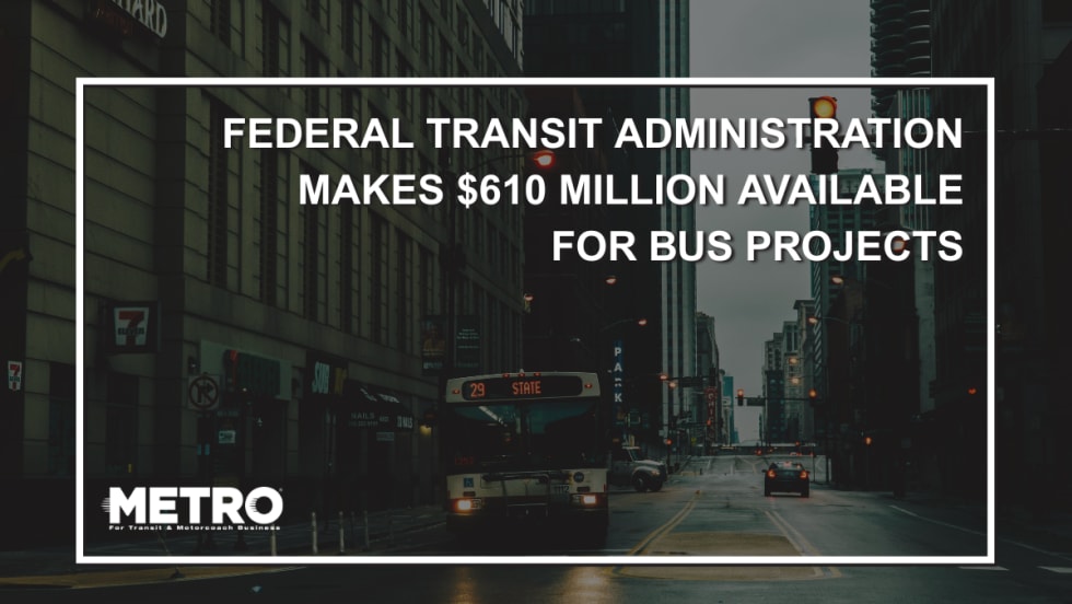
FTA Opens $610 Million Funding Opportunity for Bus Infrastructure Projects
The latest Notice of Funding Opportunity provides transit agencies with funding for bus facilities, fleet modernization, and low- and no-emission vehicles, with applications due September 21.
Read More →Biz Briefs: STV teams with Amtrak, Motorcoach Operators Boost Fleet and Land Contracts, and More
From manufacturers and suppliers to transit agencies and motorcoach operators, these updates offer a snapshot of the projects, partnerships and business moves driving the industry forward.
Read More →
Massachusetts Approves $530M to Strengthen MBTA Operations, Infrastructure
The funding package targets operating stability, capital improvements, and fare affordability, offering a model for agencies navigating long-term funding challenges.
Read More →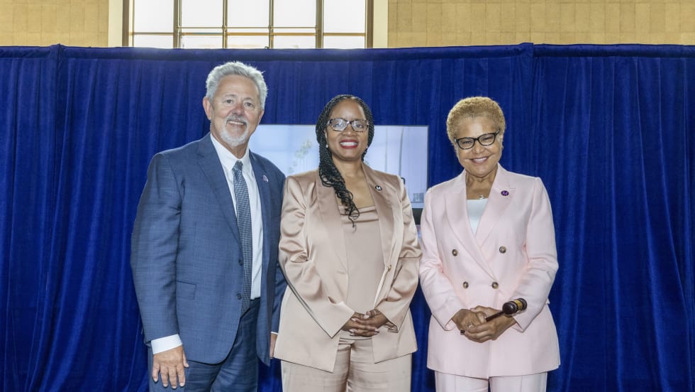
LA Metro Marks Banner Year, Sets Ambitious Goals for New Fiscal Year
Incoming LA Metro Board Chair and Los Angeles Mayor Karen Bass joined outgoing Board Chair Fernando Dutra and LA Metro CEO Stephanie Wiggins to review accomplishments from fiscal year 2026, which included the opening of new rail extensions, advancement of major transit projects, expanded safety programs, and new rider amenities.
Read More →