

Read More: Chicago Adopts Transit-Supportive Development Plan for Red Line Extension Project
MTI Study Provides How to Select Vertiport Site
The study is the result of a year-long regional geographic information system (GIS) case study of the San Francisco Bay Area analyzing vertiport site suitability across five counties.
June 7, 2023
Vertiports, areas that support electric vertical take-off and landing (eVTOL) aircraft, require more research in the emerging air sector known as Advanced Air Mobility (AAM).
Photo: Canva
2 min to read
The Mineta Transportation Institute (MTI) released new research, "Land Use Analysis on Vertiports Based on a Case Study of the San Francisco Bay Area," that aims to establish a framework for the systematic approach to vertiport site selection and provides recommendations for AAM best practices.
Vertiports, areas that support electric vertical take-off and landing (eVTOL) aircraft, require more research in the emerging air sector known as Advanced Air Mobility (AAM).
AAM is air transportation using eVTOL aircraft to move people and cargo between places not easily served by surface transportation or existing aviation modes.
More About the MTI Study
The approach established by this study ensures consistency in AAM land-use planning for a region while remaining flexible enough for regional differences like local zoning or state regulations.
The study is the result of a year-long regional geographic information system (GIS) case study of the San Francisco Bay Area analyzing vertiport site suitability across five counties (Alameda, Contra Costa, San Francisco, San Mateo, and Santa Clara Counties).
The study found that the number of suitable sites for vertiport placements increases with compact urban form and population density.
“The compact urban form of San Francisco contains higher population densities and, as a result, has a higher output of suitable parcels (1392). By comparison, San Jose in its suburban form contains only 43 resultant parcels that meet high priority standards,” explained the study’s authors.
MTI Recommends Key Policies
Key policy recommendations reveal that AAM land-use planning should:
Include participatory GIS in AAM stakeholder workshops and public meetings with 3D visualizations and auralizations to reduce fears about eVTOL aircraft noise and their aesthetics impacts.
Prioritize locations needing intermodality, such as hospitals and transit stations.
Value proximity to safe pedestrian and bicycle routes.
Understand that suitability varies by community and that preferences change.
Incorporate vertiports in Transit Oriented Development (TOD) plans and policies as a form of TOD infill and redevelopment.
Incorporate GIS site suitability AAM analysis into the Transportation and Land Use sections of comprehensive plans.
Add vertiport as a new land use category in land development codes and zoning ordinances.
More Management
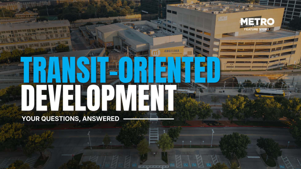
What Transit-Oriented Development Means for the Future of Public Transportation
Once viewed primarily as transit operators, agencies are now leveraging land, partnerships, and long-term planning to boost ridership, expand housing, and strengthen communities.
Read More →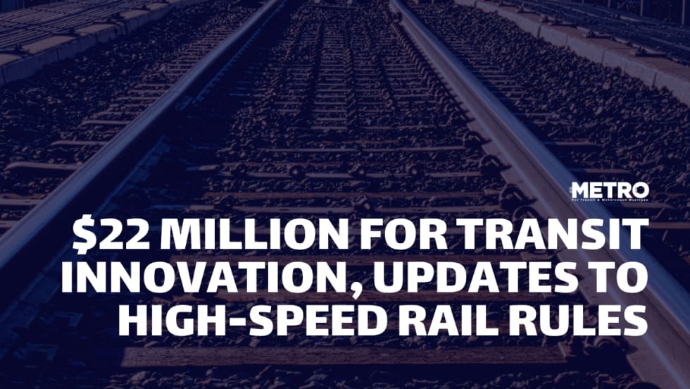
USDOT Announces $22 Million for Transit Innovation, Updates High-Speed Rail Rules
New federal transit funding will support safety, accessibility, and technology projects as updated rail regulations establish new noise standards for high-speed trains.
Read More →
Transportation Construction Coalition Unveils Infrastructure Case Studies Ahead of Federal Funding Deadline
The coalition noted the next surface transportation bill should provide sustained investment in highways and public transit to strengthen freight movement, improve safety, and support economic growth.
Read More →
People Movement: American Bus Association Extends Ferguson and More
METRO’s People Movement highlights the latest leadership changes, promotions, and personnel news across the public transit, motorcoach, and people mobility sectors.
Read More →
METRO Magazine Announces 2026 Innovative Solutions Awards Winners
Projects Recognized for Advancing Mobility Through Technology, Accessibility, Workforce Innovation, and Operational Excellence
Read More →
MBTA Rolls Out Pilot Programs to Cut Costs, Simplify Travel
Three new fare pilots — including unlimited two-hour transfers, reduced express bus fares, and free transit for eligible seniors — will launch this fall as Massachusetts extends popular commuter rail discounts through November.
Read More →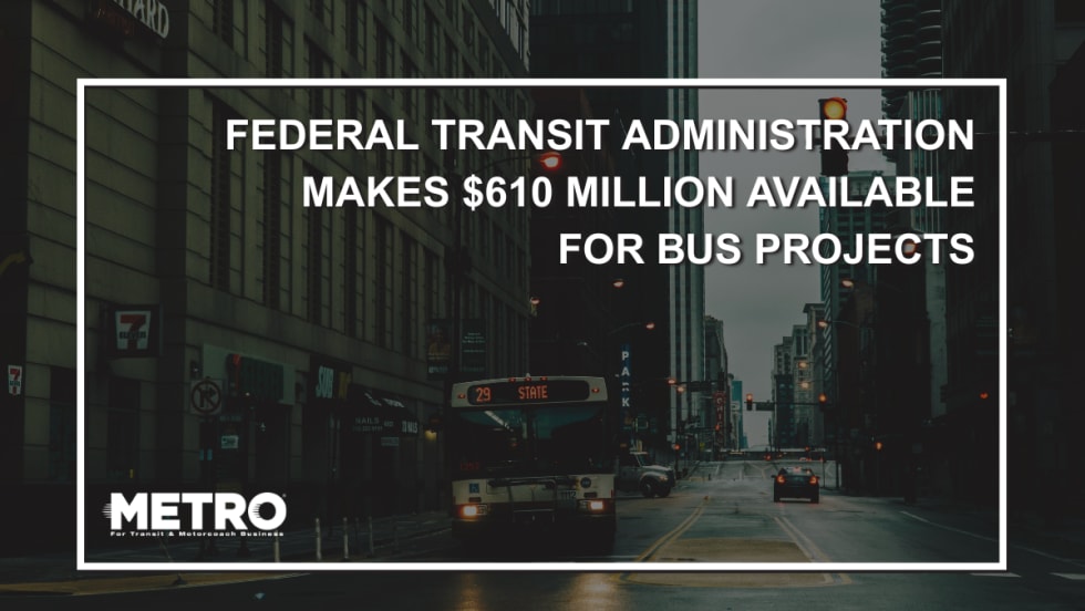
FTA Opens $610 Million Funding Opportunity for Bus Infrastructure Projects
The latest Notice of Funding Opportunity provides transit agencies with funding for bus facilities, fleet modernization, and low- and no-emission vehicles, with applications due September 21.
Read More →Biz Briefs: STV teams with Amtrak, Motorcoach Operators Boost Fleet and Land Contracts, and More
From manufacturers and suppliers to transit agencies and motorcoach operators, these updates offer a snapshot of the projects, partnerships and business moves driving the industry forward.
Read More →
Massachusetts Approves $530M to Strengthen MBTA Operations, Infrastructure
The funding package targets operating stability, capital improvements, and fare affordability, offering a model for agencies navigating long-term funding challenges.
Read More →
LA Metro Marks Banner Year, Sets Ambitious Goals for New Fiscal Year
Incoming LA Metro Board Chair and Los Angeles Mayor Karen Bass joined outgoing Board Chair Fernando Dutra and LA Metro CEO Stephanie Wiggins to review accomplishments from fiscal year 2026, which included the opening of new rail extensions, advancement of major transit projects, expanded safety programs, and new rider amenities.
Read More →