




RELATED: LIRR launches customer assistance for people with mobility issues
Long Island Railroad beta testing real-time train tracker tool
Customers can see real-time positions of all trains on phone, tablet or computer and view train lengths and locations of trouble spots.
February 6, 2019
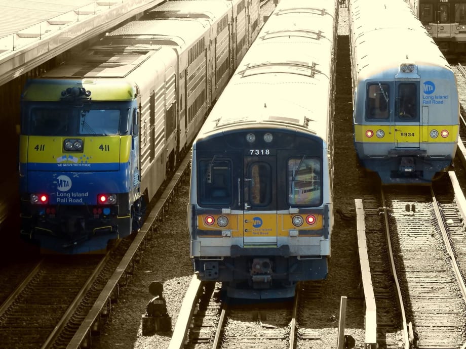
MTA Long Island Rail Road has launched a beta test of an online tool that allows customers to see the real-time position of trains on a map. Photo: MTA/LIRR Facebook
2 min to read
MTA Long Island Rail Road has launched a beta test of an online tool that allows customers to see the real-time position of trains on a map. Photo: MTA/LIRR Facebook
MTA Long Island Rail Road has launched a beta test of an online tool that allows customers to see the real-time position of trains on a map. It also shows information about train lengths and locations of any trouble spots affecting train service. The map is refreshed with new data every three to five seconds and benefits from the enhanced accuracy of GPS data.
To use the tool, customers can go to any web browser and navigate to mylirr.org. The first thing displayed is a list of LIRR stations with a customer’s selected favorite stations displayed at the top. Tapping on a station gives a list of upcoming trains, organized by scheduled arrival time for the eastbound and westbound directions. Tapping on any listed train pulls up a map that shows that train’s location within the LIRR systemwide map, which is overlaid on a geographically accurate map showing streets, parks, bodies of water, and more, all in a muted fashion that allows train service to be highlighted. As the train moves, the icon representing the train on the map moves as well.
To help customers be prepared if a train has fewer cars than normal, the tool also lists how long each train is. Zooming in on the train displays this information graphically, by showing an outline of the train, with each of the cars in the train appearing on the map.
Instances where ongoing track work is reducing the number of available tracks are shown on the map with a wrench icon, and unplanned events that can delay trains, such a switch or signal problem, broken rail, track condition or disabled train are shown with an exclamation point icon.
To enable the tool to function, the LIRR has installed GPS transponders on all trains, nearly 600 GPS units in total. The GPS data supplements information from the LIRR’s signal system to provide the tool with accurate real-time positions of trains. Areas in tunnels where GPS is unavailable use signal system data and station stops and intermediate waypoint beacons to identify train locations.
The tool supplements existing real-time offerings including email and text messages service alerts available at MyMTAAlerts.com, MYmta, and the LIRR Train Time app. The myLIRR tool is in beta, and the LIRR plans to amend and improve it based on customer feedback.
More Rail
New York MTA Advances Final Contract for Second Avenue Subway Expansion
Contract Four is the largest in the Second Avenue Subway Phase 2 project and includes construction of station infrastructure, tracks, and signals for the subway expansion, MTA officials said. Work on Contract Four will begin in 2027.
Read More →
San Diego MTS Breaks Monthly Trolley Ridership Record
Agency officials said July’s ridership indicates MTS’s continued recovery from the pandemic.
Read More →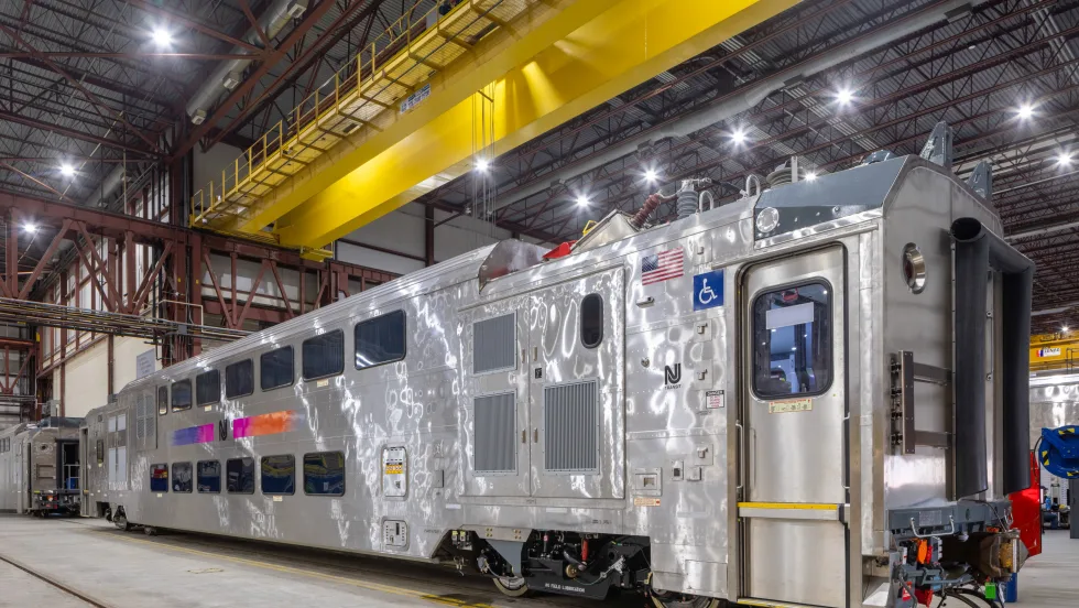
Report Examines NJ TRANSIT Reliability, Funding Challenges
The Garden State Initiative analysis examines the roles of Amtrak infrastructure, fleet management, and agency operations while recommending a more performance-based approach to improving reliability.
Read More →
Stadler, CapMetro Sign Long-Term Rail Fleet Support Agreement
Beginning in 2027, Stadler will provide on-site technical expertise, spare parts support, training, and obsolescence management to help extend the reliability and longevity of CapMetro’s GTW fleet.
Read More →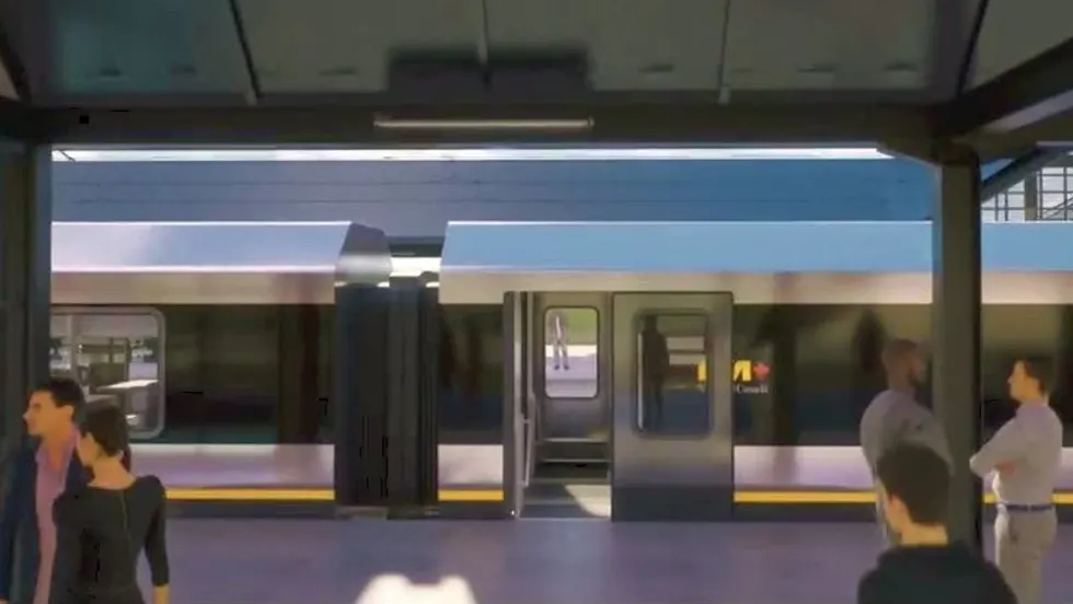
Biz Briefs: Alstom Lands Canadian Contract, LYT to Supply California TSP, and More
In METRO's latest installment, we take a look at recent news from Complete Coach Works, Beep, FlixBus, and more partnerships making headlines across the transportation sector.
Read More →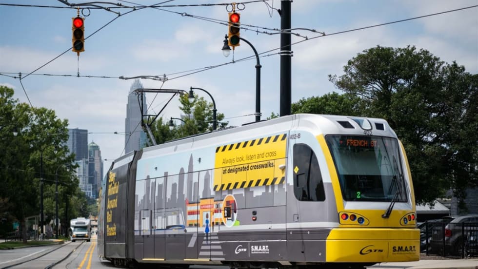
CATS Gold Line Marks 5 Years of Service, 2.8M Passenger Trips
With a six-mile expansion planned, the Charlotte streetcar is positioned to connect more neighborhoods and major transit hubs across the region.
Read More →
Why Simulating Pedestrian Movement Has Become Essential for Modern Rail Stations
Pedestrian microsimulation is helping rail planners identify bottlenecks, test station designs, and prepare complex transit hubs for growing passenger volumes.
Read More →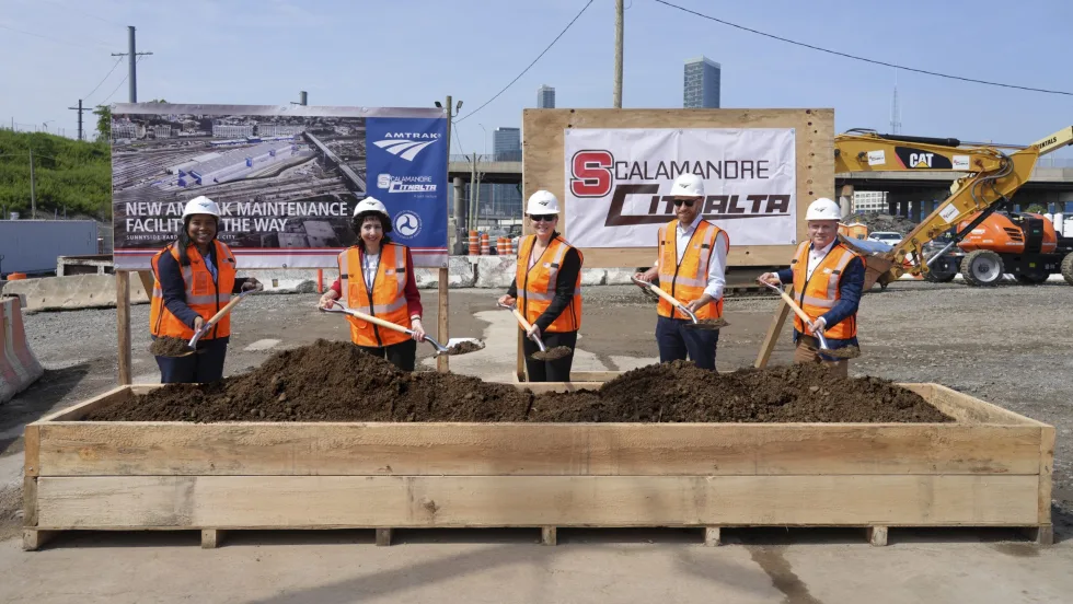
Amtrak Begins Major Construction at New York’s Sunnyside Yard
The new maintenance facility will support Amtrak’s Airo trainsets while improving maintenance efficiency and turnaround times in New York.
Read More →
Chicago Leaders Unveil Plans for O’Hare Airport Express Train
The privately developed project would offer a 15-minute trip between downtown and O’Hare’s Terminal 2, with trains operating every 15 minutes on a dedicated track. The service would use battery-electric trains and three existing freight rail rights-of-way.
Read More →
OCTA Maps Out 30-Year Strategy to Protect Coastal Rail Corridor
The draft feasibility report identifies strategies to protect the coastal rail line for decades as the agency continues near-term stabilization and sand placement efforts.
Read More →